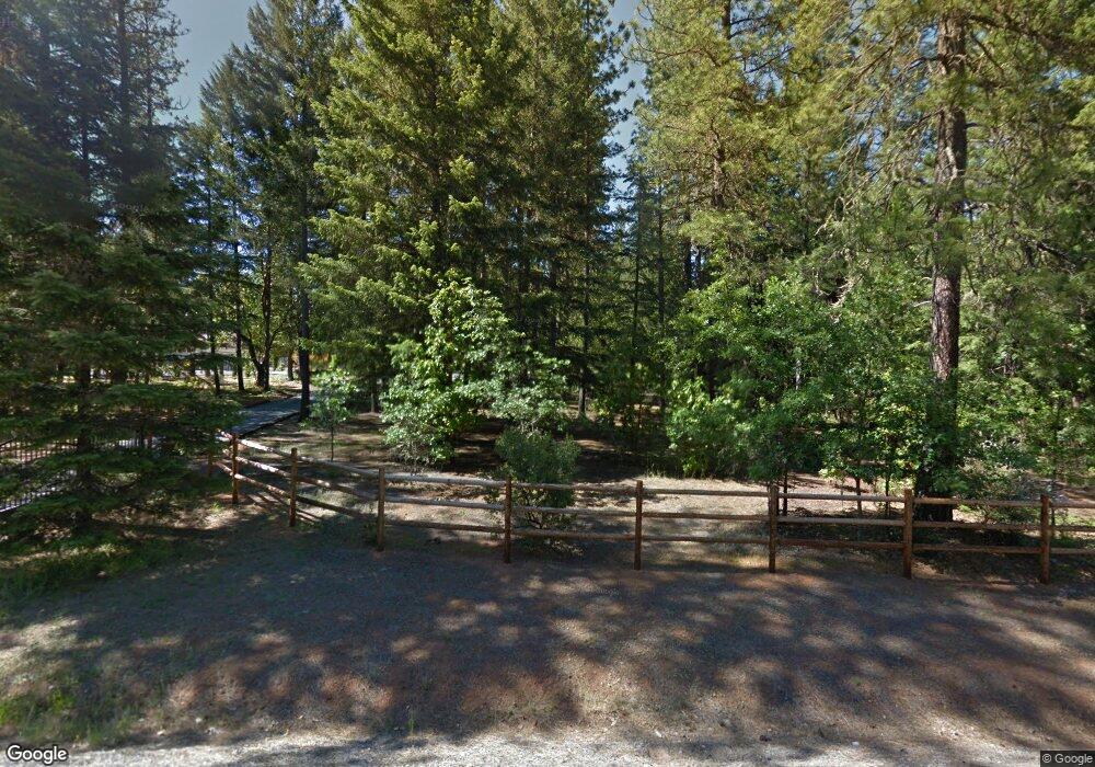
7239 Redthorne Rd Rogue River, OR 97537
Estimated Value: $627,736 - $800,000
3
Beds
2
Baths
2,650
Sq Ft
$268/Sq Ft
Est. Value
About This Home
This home is located at 7239 Redthorne Rd, Rogue River, OR 97537 and is currently estimated at $709,912, approximately $267 per square foot. 7239 Redthorne Rd is a home located in Jackson County with nearby schools including Rogue River Elementary School, South Valley Academy, and Rogue River Junior/Senior High School.
Ownership History
Date
Name
Owned For
Owner Type
Purchase Details
Closed on
Mar 22, 2012
Sold by
Simpson Sharon S
Bought by
Goodboe Edward A and Goodboe Andrea E
Current Estimated Value
Home Financials for this Owner
Home Financials are based on the most recent Mortgage that was taken out on this home.
Original Mortgage
$367,644
Outstanding Balance
$249,310
Interest Rate
3.83%
Mortgage Type
VA
Estimated Equity
$460,602
Create a Home Valuation Report for This Property
The Home Valuation Report is an in-depth analysis detailing your home's value as well as a comparison with similar homes in the area
Purchase History
| Date | Buyer | Sale Price | Title Company |
|---|---|---|---|
| Goodboe Edward A | $355,900 | First American |
Source: Public Records
Mortgage History
| Date | Status | Borrower | Loan Amount |
|---|---|---|---|
| Open | Goodboe Edward A | $367,644 |
Source: Public Records
Tax History
| Year | Tax Paid | Tax Assessment Tax Assessment Total Assessment is a certain percentage of the fair market value that is determined by local assessors to be the total taxable value of land and additions on the property. | Land | Improvement |
|---|---|---|---|---|
| 2026 | $4,292 | $379,850 | $178,330 | $201,520 |
| 2025 | $3,820 | $383,210 | $121,630 | $261,580 |
| 2024 | $3,820 | $372,050 | $136,200 | $235,850 |
| 2023 | $3,693 | $361,220 | $132,230 | $228,990 |
| 2022 | $3,613 | $361,220 | $132,230 | $228,990 |
| 2021 | $3,507 | $350,700 | $128,380 | $222,320 |
| 2020 | $3,422 | $340,490 | $124,650 | $215,840 |
| 2019 | $3,338 | $320,960 | $117,500 | $203,460 |
| 2018 | $3,252 | $311,620 | $114,080 | $197,540 |
| 2017 | $3,176 | $311,620 | $114,080 | $197,540 |
| 2016 | $3,095 | $293,740 | $107,530 | $186,210 |
| 2015 | $2,999 | $293,740 | $107,530 | $186,210 |
| 2014 | $2,898 | $276,890 | $101,350 | $175,540 |
Source: Public Records
Map
Nearby Homes
- 7118 Redthorne Rd
- 7310 W Evans Creek Rd
- 1105 Pine Grove Rd
- 149 Queens Branch Rd
- 6324 E Evans Creek Rd
- 7994 E Evans Creek Rd
- 8576 E Evans Creek Rd
- 643 Covered Bridge Rd
- 9184 W Evans Creek Rd
- 1282 Pleasant Creek Rd
- 798 Covered Bridge Rd
- 1740 Pleasant Creek Rd
- 256 Deruyte Way
- 254 Deruyte Way
- 252 Deruyte Way
- 257 Deruyte Way
- 250 Deruyte Way
- 4697 E Evans Creek Rd
- 255 Deruyte Way
- 253 Deruyte Way
- 7177 Redthorne Rd
- 7353 Redthorne Rd
- 7475 Redthorne Rd
- 7330 W Evans Creek Rd
- 7587 Redthorne Rd
- 7320 W Evans
- 7127 Redthorne Rd
- 7390 W Evans Creek Rd
- 7530 Redthorne Rd
- 7292 Redthorne Rd
- 7711 Redthorne Rd
- 162 Carlos Ave
- 7414 Redthorne Rd
- 7829 Redthorne Rd
- 148 Carlos Ave
- 186 Carlos Ave
- 7646 Redthorne Rd
- 7770 Redthorne Rd
- 7947 Redthorne Rd
- 7044 Redthorne Rd
Your Personal Tour Guide
Ask me questions while you tour the home.
