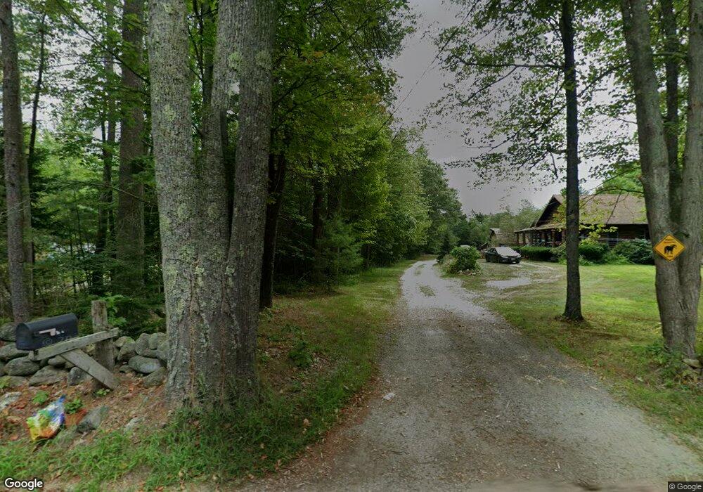
724 Forristall Rd Rindge, NH 03461
Estimated Value: $613,000 - $835,000
3
Beds
3
Baths
2,908
Sq Ft
$234/Sq Ft
Est. Value
About This Home
This home is located at 724 Forristall Rd, Rindge, NH 03461 and is currently estimated at $681,595, approximately $234 per square foot. 724 Forristall Rd is a home located in Cheshire County with nearby schools including Rindge Memorial School, Conant Middle High School, and Conant High School.
Ownership History
Date
Name
Owned For
Owner Type
Purchase Details
Closed on
Dec 7, 2004
Sold by
Duffy Katherine L
Bought by
Nordahl Olaf
Current Estimated Value
Create a Home Valuation Report for This Property
The Home Valuation Report is an in-depth analysis detailing your home's value as well as a comparison with similar homes in the area
Home Values in the Area
Average Home Value in this Area
Purchase History
| Date | Buyer | Sale Price | Title Company |
|---|---|---|---|
| Nordahl Olaf | $70,000 | -- |
Source: Public Records
Tax History Compared to Growth
Tax History
| Year | Tax Paid | Tax Assessment Tax Assessment Total Assessment is a certain percentage of the fair market value that is determined by local assessors to be the total taxable value of land and additions on the property. | Land | Improvement |
|---|---|---|---|---|
| 2024 | $8,345 | $329,700 | $45,000 | $284,700 |
| 2023 | $8,256 | $329,700 | $45,000 | $284,700 |
| 2022 | $7,593 | $329,700 | $45,000 | $284,700 |
| 2021 | $7,672 | $338,700 | $45,000 | $293,700 |
| 2020 | $7,604 | $338,700 | $45,000 | $293,700 |
| 2019 | $8,192 | $295,100 | $35,100 | $260,000 |
| 2018 | $8,115 | $295,100 | $35,100 | $260,000 |
| 2017 | $8,024 | $295,100 | $35,100 | $260,000 |
| 2016 | $8,236 | $295,100 | $35,100 | $260,000 |
| 2015 | $8,230 | $295,100 | $35,100 | $260,000 |
| 2014 | $7,890 | $303,100 | $65,000 | $238,100 |
| 2013 | $7,200 | $282,800 | $65,000 | $217,800 |
Source: Public Records
Map
Nearby Homes
- Lot 15-0 Saybrook Dr
- Lot 2 Saybrook Dr
- Lot 14 Saybrook Dr
- Lot 1 Saybrook Dr
- 40 Maple Dr
- 28 Wellington Rd
- 307 Main St
- 19 Monomonac Terrace
- 0 Thomas Rd Unit 10 5014817
- Lot 4 Saybrook Dr
- 39 Willow Ln
- 31 Willow Ln
- 37 Willow Ln
- 41 Willow Ln
- 22 Daria Dr
- 16 2nd St
- 0 Monomonac Rd W
- 35 Hillside Dr
- 20 W Main St
- 145 Monomonac Rd E
- 720 Forristall Rd
- 728 Forristall Rd
- 729 Forristall Rd
- 710 Forristall Rd
- 698 Forristall Rd
- 707 Forristall Rd
- 703 Forristall Rd
- 686 Forristall Rd
- 457 Middle Winchendon Rd
- 455 Middle Winchendon Rd
- 683 Forristall Rd
- 20 Woods Crossing Rd
- 472 Middle Winchendon Rd
- 997 U S 202
- 997 Route 202
- 997 Us Rt 202
- 28 Woods Crossing Rd
- 468 Middle Winchendon Rd
- 46-3 Middle Winnchendon Rd
- 7 Woods Crossing Rd