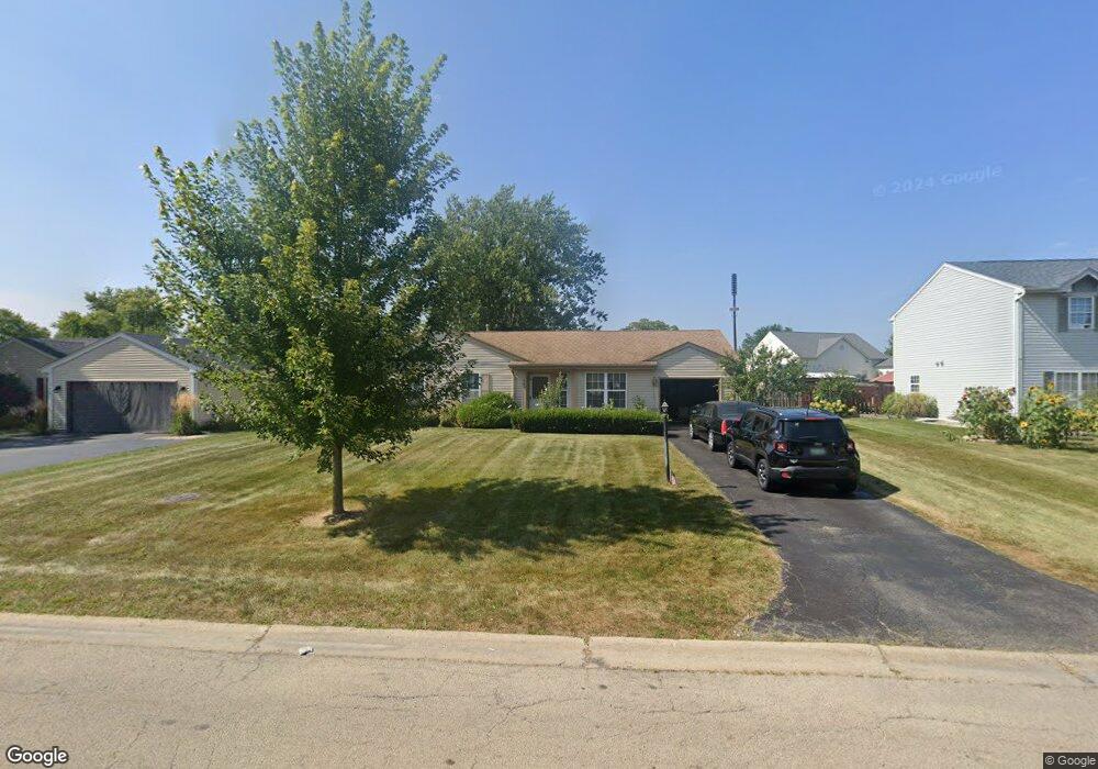
724 Newport Dr Unit 4 Island Lake, IL 60042
West Island Lake NeighborhoodEstimated Value: $288,299 - $308,000
3
Beds
3
Baths
1,092
Sq Ft
$270/Sq Ft
Est. Value
About This Home
This home is located at 724 Newport Dr Unit 4, Island Lake, IL 60042 and is currently estimated at $294,825, approximately $269 per square foot. 724 Newport Dr Unit 4 is a home located in McHenry County with nearby schools including Cotton Creek School, Matthews Middle School, and Wauconda High School.
Ownership History
Date
Name
Owned For
Owner Type
Purchase Details
Closed on
Jun 28, 1996
Sold by
Fife Gregory S and Fife Diane M
Bought by
Depersia Joseph M and Depersia Anne E
Current Estimated Value
Home Financials for this Owner
Home Financials are based on the most recent Mortgage that was taken out on this home.
Original Mortgage
$116,899
Outstanding Balance
$8,339
Interest Rate
8.09%
Mortgage Type
FHA
Estimated Equity
$286,486
Create a Home Valuation Report for This Property
The Home Valuation Report is an in-depth analysis detailing your home's value as well as a comparison with similar homes in the area
Home Values in the Area
Average Home Value in this Area
Purchase History
| Date | Buyer | Sale Price | Title Company |
|---|---|---|---|
| Depersia Joseph M | $118,000 | Plm Title Company |
Source: Public Records
Mortgage History
| Date | Status | Borrower | Loan Amount |
|---|---|---|---|
| Open | Depersia Joseph M | $116,899 |
Source: Public Records
Tax History Compared to Growth
Tax History
| Year | Tax Paid | Tax Assessment Tax Assessment Total Assessment is a certain percentage of the fair market value that is determined by local assessors to be the total taxable value of land and additions on the property. | Land | Improvement |
|---|---|---|---|---|
| 2024 | $5,215 | $74,086 | $17,884 | $56,202 |
| 2023 | $4,977 | $66,439 | $16,038 | $50,401 |
| 2022 | $4,942 | $55,600 | $12,210 | $43,390 |
| 2021 | $4,766 | $52,129 | $11,448 | $40,681 |
| 2020 | $4,510 | $50,567 | $11,105 | $39,462 |
| 2019 | $4,441 | $48,077 | $10,558 | $37,519 |
| 2018 | $4,238 | $45,779 | $9,917 | $35,862 |
| 2017 | $4,104 | $43,858 | $9,501 | $34,357 |
| 2016 | $3,989 | $41,845 | $9,065 | $32,780 |
| 2013 | -- | $34,390 | $8,627 | $25,763 |
Source: Public Records
Map
Nearby Homes
- 811 Newport Dr
- 3625 Newport Dr
- 833 Dartmouth Dr Unit 7
- 1040 Wimbledon Dr Unit 7
- 1125 Revere Ln
- 404 Lauren Ln
- NEC Route 176 & Westridge Dr
- 3525 Southport Dr
- 318 David Ct
- 0 Southport Dr
- 4024 Newport Dr
- 3816 Riverside Dr
- 4125 Hale Ln Unit 10
- Lot 9 Burton Trail
- 3618 Burton Trail
- lot 23 Park Dr
- 2610 S Thomas Ct
- 1721 Il Route 176
- Lot 12 W Northeast Shore Dr
- Lot 11 W Northeast Shore Dr
- 736 Newport Dr
- 712 Newport Dr
- 748 Newport Dr
- 3391 Waterford Way Unit 4
- 3379 Waterford Way
- 711 Newport Dr
- 723 Newport Dr Unit 4
- 760 Newport Dr
- 735 Newport Dr
- 3439 Waterford Way Unit 4
- 747 Newport Dr
- 815 Plymouth Ln
- 772 Newport Dr
- 827 Plymouth Ln
- 803 Plymouth Ln Unit 2
- 3451 Waterford Way Unit 5
- 669 Pleasant Place
- 675 Pleasant Place
- 681 Pleasant Place Unit 2
- 663 Pleasant Place Unit 2