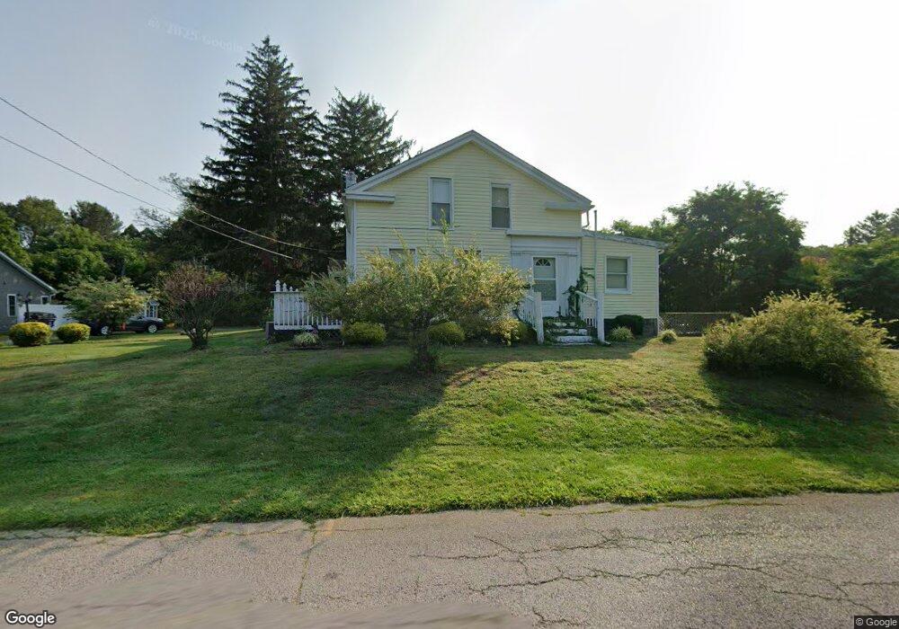
724 Whitney Rd Conneaut, OH 44030
Estimated Value: $255,000 - $333,000
3
Beds
5
Baths
3,832
Sq Ft
$73/Sq Ft
Est. Value
About This Home
This home is located at 724 Whitney Rd, Conneaut, OH 44030 and is currently estimated at $280,067, approximately $73 per square foot. 724 Whitney Rd is a home located in Ashtabula County with nearby schools including Lakeshore Primary Elementary School, Gateway Elementary School, and Conneaut Middle School.
Ownership History
Date
Name
Owned For
Owner Type
Purchase Details
Closed on
Mar 30, 2022
Sold by
Biscotti Nancy
Bought by
Barnes Dina Biscotti
Current Estimated Value
Purchase Details
Closed on
Jun 24, 1996
Sold by
Farmakis James
Bought by
Biscotti Nancy I
Home Financials for this Owner
Home Financials are based on the most recent Mortgage that was taken out on this home.
Original Mortgage
$50,000
Interest Rate
8.29%
Mortgage Type
New Conventional
Create a Home Valuation Report for This Property
The Home Valuation Report is an in-depth analysis detailing your home's value as well as a comparison with similar homes in the area
Home Values in the Area
Average Home Value in this Area
Purchase History
| Date | Buyer | Sale Price | Title Company |
|---|---|---|---|
| Barnes Dina Biscotti | -- | -- | |
| Biscotti Nancy I | $50,000 | -- |
Source: Public Records
Mortgage History
| Date | Status | Borrower | Loan Amount |
|---|---|---|---|
| Previous Owner | Biscotti Nancy I | $50,000 |
Source: Public Records
Tax History Compared to Growth
Tax History
| Year | Tax Paid | Tax Assessment Tax Assessment Total Assessment is a certain percentage of the fair market value that is determined by local assessors to be the total taxable value of land and additions on the property. | Land | Improvement |
|---|---|---|---|---|
| 2024 | $5,428 | $74,200 | $8,820 | $65,380 |
| 2023 | $3,437 | $74,200 | $8,820 | $65,380 |
| 2022 | $2,274 | $51,910 | $6,790 | $45,120 |
| 2021 | $2,313 | $51,910 | $6,790 | $45,120 |
| 2020 | $2,312 | $51,910 | $6,790 | $45,120 |
| 2019 | $2,110 | $47,430 | $3,540 | $43,890 |
| 2018 | $2,012 | $47,430 | $3,540 | $43,890 |
| 2017 | $1,805 | $47,430 | $3,540 | $43,890 |
| 2016 | $1,585 | $41,970 | $3,150 | $38,820 |
| 2015 | $1,601 | $41,970 | $3,150 | $38,820 |
| 2014 | $1,410 | $41,970 | $3,150 | $38,820 |
| 2013 | $1,641 | $39,800 | $2,940 | $36,860 |
Source: Public Records
Map
Nearby Homes
- 726 Whitney Rd
- 726 Whitney Rd
- 728 Whitney Rd
- 730 Whitney Rd
- 732 Whitney Rd
- 729 Whitney Rd
- 1037 Golfview Dr
- 736 Whitney Rd
- 1039 Golfview Dr
- 725 Whitney Rd
- 1041 Golfview Dr
- 800 Whitney Rd
- 1045 Golfview Dr
- 1115 Sunrise Dr
- 1047 Golfview Dr
- 1038 Golfview Dr
- 0 Whitney Rd Unit 2495214
- V/L Whitney Rd
- 1040 Golfview Dr
- 1049 Golfview Dr