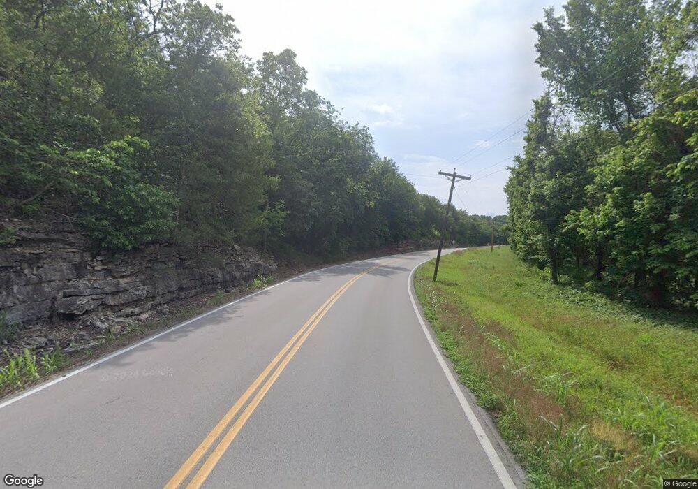
7241 State Road Bb Cedar Hill, MO 63016
Estimated Value: $188,299 - $302,000
Studio
--
Bath
1,916
Sq Ft
$119/Sq Ft
Est. Value
About This Home
This home is located at 7241 State Road Bb, Cedar Hill, MO 63016 and is currently estimated at $227,325, approximately $118 per square foot. 7241 State Road Bb is a home with nearby schools including Northwest High School.
Ownership History
Date
Name
Owned For
Owner Type
Purchase Details
Closed on
Apr 5, 2024
Sold by
Pashia David and Barton Cynthia
Bought by
Barton Cynthia
Current Estimated Value
Purchase Details
Closed on
Oct 21, 2019
Sold by
Fox Molly J and Fox Dale W
Bought by
Pashia Cynthia Barton
Purchase Details
Closed on
Jul 24, 2014
Sold by
Brown Nancy
Bought by
Fox Molly J and Barton Cynthia
Create a Home Valuation Report for This Property
The Home Valuation Report is an in-depth analysis detailing your home's value as well as a comparison with similar homes in the area
Purchase History
| Date | Buyer | Sale Price | Title Company |
|---|---|---|---|
| Barton Cynthia | -- | None Listed On Document | |
| Pashia Cynthia Barton | -- | None Available | |
| Pashia Cynthia Barton | -- | None Available | |
| Fox Molly J | -- | None Available |
Source: Public Records
Tax History
| Year | Tax Paid | Tax Assessment Tax Assessment Total Assessment is a certain percentage of the fair market value that is determined by local assessors to be the total taxable value of land and additions on the property. | Land | Improvement |
|---|---|---|---|---|
| 2025 | $2,539 | $35,300 | $5,700 | $29,600 |
| 2024 | $2,539 | $33,500 | $5,700 | $27,800 |
| 2023 | $2,539 | $33,500 | $5,700 | $27,800 |
| 2022 | $2,513 | $33,300 | $5,700 | $27,600 |
| 2021 | $2,488 | $33,300 | $5,700 | $27,600 |
| 2020 | $2,302 | $29,900 | $5,200 | $24,700 |
| 2019 | $1,270 | $16,500 | $4,100 | $12,400 |
| 2018 | $1,213 | $15,800 | $4,100 | $11,700 |
| 2016 | $995 | $13,600 | $4,100 | $9,500 |
Source: Public Records
Map
Nearby Homes
- 6566 Cedar Hill Rd
- 8115 Graham Rd
- 6492 Craig Dr
- 8050 Local Hillsboro Rd
- 69 Cedar Hill Estates Unit C-47
- 69 Cedar Hill Estates Unit C-49
- 6127 Barrington Oaks Dr
- 49 El Sahara Dr
- 7191 Callie Ln
- 7016 Oakwood Dr
- 7363 Burgess Ford Rd
- 7516 Scott Ln
- 7865 Oak Lawn Place
- 0 Terri Hill Dr
- 6012 Isaac Way
- 5961 White Oak Dr
- 764 Red Clover Dr
- 0 Lakeshore Dr
- 8911 Kitson Ln
- 8 Cedar Ridge Ct
- 7299 State Road Bb
- 65 Twin Pines Lot
- 65Lot Twin Pines
- 7207 Highway Bb
- 6996 Dove Creek Dr
- 6598 Four Wheel Dr
- 7350 Highway Bb
- 6541 Ashwell Ln
- 6996 Dove Creek Ln
- 6540 Ashwell Ln
- 7354 State Road Bb
- 6997 Dove Creek Dr
- 6989 Dove Creek Dr
- 7102 Stovesand Rd
- 6534 Ashwell Ln
- 7944 Homestead Acres Rd
- 6537 Ashwell Ln
- 7096 Stovesand Rd
- 6533 Ashwell Ln
- 0 State Highway Bb
Your Personal Tour Guide
Ask me questions while you tour the home.
