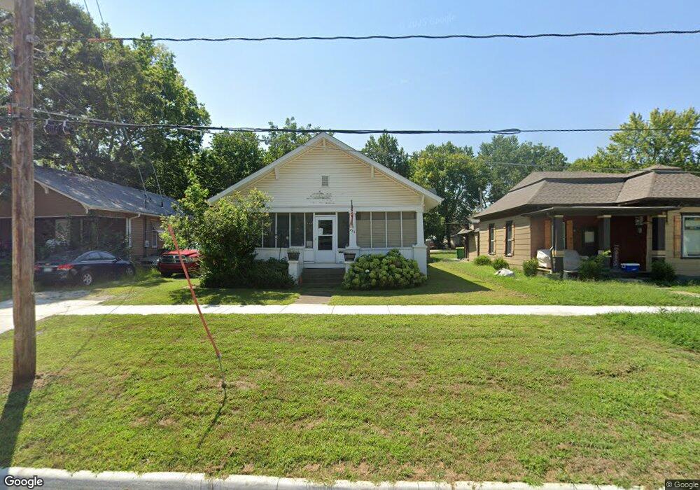
725 Brown Ave Osawatomie, KS 66064
Estimated Value: $152,000 - $185,000
3
Beds
1
Bath
1,084
Sq Ft
$154/Sq Ft
Est. Value
About This Home
This home is located at 725 Brown Ave, Osawatomie, KS 66064 and is currently estimated at $167,472, approximately $154 per square foot. 725 Brown Ave is a home located in Miami County with nearby schools including Swenson Early Childhood Education Center, Trojan Elementary School, and Osawatomie Middle School.
Ownership History
Date
Name
Owned For
Owner Type
Purchase Details
Closed on
Nov 24, 2021
Sold by
Worden Cherie D and Worden Troy N
Bought by
Loar William E
Current Estimated Value
Home Financials for this Owner
Home Financials are based on the most recent Mortgage that was taken out on this home.
Original Mortgage
$80,303
Outstanding Balance
$73,533
Interest Rate
3.09%
Mortgage Type
New Conventional
Estimated Equity
$93,939
Purchase Details
Closed on
Mar 11, 2010
Sold by
Cook Claron R and Cook Wilma J
Bought by
Worden Cherie D
Home Financials for this Owner
Home Financials are based on the most recent Mortgage that was taken out on this home.
Original Mortgage
$63,822
Interest Rate
5.37%
Mortgage Type
FHA
Create a Home Valuation Report for This Property
The Home Valuation Report is an in-depth analysis detailing your home's value as well as a comparison with similar homes in the area
Home Values in the Area
Average Home Value in this Area
Purchase History
| Date | Buyer | Sale Price | Title Company |
|---|---|---|---|
| Loar William E | -- | Security 1St Title | |
| Worden Cherie D | -- | Miami County Title Co Inc |
Source: Public Records
Mortgage History
| Date | Status | Borrower | Loan Amount |
|---|---|---|---|
| Open | Loar William E | $80,303 | |
| Previous Owner | Worden Cherie D | $63,822 |
Source: Public Records
Tax History Compared to Growth
Tax History
| Year | Tax Paid | Tax Assessment Tax Assessment Total Assessment is a certain percentage of the fair market value that is determined by local assessors to be the total taxable value of land and additions on the property. | Land | Improvement |
|---|---|---|---|---|
| 2025 | $3,083 | $16,920 | $787 | $16,133 |
| 2024 | $2,984 | $16,427 | $704 | $15,723 |
| 2023 | $2,959 | $15,812 | $662 | $15,150 |
| 2022 | $2,433 | $12,386 | $818 | $11,568 |
| 2021 | $1,096 | $0 | $0 | $0 |
| 2020 | $1,711 | $0 | $0 | $0 |
| 2019 | $1,390 | $0 | $0 | $0 |
| 2018 | $1,347 | $0 | $0 | $0 |
| 2017 | $0 | $0 | $0 | $0 |
| 2016 | -- | $0 | $0 | $0 |
| 2015 | -- | $0 | $0 | $0 |
| 2014 | -- | $0 | $0 | $0 |
| 2013 | -- | $0 | $0 | $0 |
Source: Public Records
Map
Nearby Homes
- 726 Pacific Ave
- 736 Brown Ave
- 721 Pacific Ave
- 711 Pacific Ave
- 835 Brown Ave
- 716 Chestnut Ave
- 714 Chestnut Ave
- 900 Walnut Ave
- 700 Parker Ave
- 901 Chestnut Ave
- 805 Chestnut Ave
- 921 Brown Ave
- 903 Walnut Ave
- 934 Pacific St
- 507 Brown Ave
- 716 10th St
- 1015 Main St
- 1017 Pacific Ave
- 500 Chestnut St
- 1109 Main St