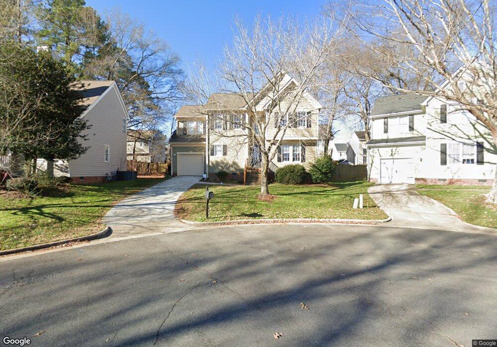
725 Cattail Cir Raleigh, NC 27610
Southeast Raleigh NeighborhoodEstimated Value: $326,507 - $344,000
3
Beds
3
Baths
1,701
Sq Ft
$197/Sq Ft
Est. Value
About This Home
This home is located at 725 Cattail Cir, Raleigh, NC 27610 and is currently estimated at $335,127, approximately $197 per square foot. 725 Cattail Cir is a home located in Wake County with nearby schools including Rogers Lane Elementary, River Bend Middle, and Southeast Raleigh Magnet High School.
Ownership History
Date
Name
Owned For
Owner Type
Purchase Details
Closed on
Mar 30, 2021
Sold by
Mccoy Deiphia Corneila
Bought by
Walls Alicia Erin and Durway Matthew Lindsey
Current Estimated Value
Home Financials for this Owner
Home Financials are based on the most recent Mortgage that was taken out on this home.
Original Mortgage
$212,800
Outstanding Balance
$191,509
Interest Rate
2.8%
Mortgage Type
New Conventional
Estimated Equity
$143,618
Purchase Details
Closed on
Oct 30, 2018
Sold by
Brooks Tommy and Brooks Eisha
Bought by
Mccoy Delphia Corneila
Home Financials for this Owner
Home Financials are based on the most recent Mortgage that was taken out on this home.
Original Mortgage
$191,468
Interest Rate
4.99%
Mortgage Type
FHA
Purchase Details
Closed on
Sep 30, 2009
Sold by
Imb Reo Llc
Bought by
Brooks Tommy
Purchase Details
Closed on
Aug 27, 2009
Sold by
Martin Derrick and Martin Yolanda
Bought by
Imb Reo Llc
Create a Home Valuation Report for This Property
The Home Valuation Report is an in-depth analysis detailing your home's value as well as a comparison with similar homes in the area
Home Values in the Area
Average Home Value in this Area
Purchase History
| Date | Buyer | Sale Price | Title Company |
|---|---|---|---|
| Walls Alicia Erin | $266,000 | None Available | |
| Mccoy Delphia Corneila | $195,000 | None Available | |
| Brooks Tommy | $118,000 | None Available | |
| Imb Reo Llc | $130,500 | None Available |
Source: Public Records
Mortgage History
| Date | Status | Borrower | Loan Amount |
|---|---|---|---|
| Open | Walls Alicia Erin | $212,800 | |
| Previous Owner | Mccoy Delphia Corneila | $191,468 |
Source: Public Records
Tax History
| Year | Tax Paid | Tax Assessment Tax Assessment Total Assessment is a certain percentage of the fair market value that is determined by local assessors to be the total taxable value of land and additions on the property. | Land | Improvement |
|---|---|---|---|---|
| 2025 | $2,890 | $329,075 | $80,000 | $249,075 |
| 2024 | $2,878 | $329,075 | $80,000 | $249,075 |
Source: Public Records
Map
Nearby Homes
- 713 Marsh Grass Dr
- 640 Hanska Way
- 616 Hanska Way
- 504 Thistlegate Trail
- 5135 Primland Ln
- 5204 Bentgrass Dr
- 5143 Primland Ln
- 1012 Stormy Ln
- 5301 Daleview Dr
- 5308 Bentgrass Dr
- 5400 Thunderidge Dr
- 311 Gilman Ln Unit 107
- 300 Gilman Ln Unit 101
- 5345 Big Bass Dr
- 5335 Big Bass Dr
- 5127 Wetlands Dr
- 5011 Peachtree Town Ln
- 1004 Meridian View Ct
- 1003 Azalea Cottage Ct
- 3001 River Commons Dr
- 721 Cattail Cir
- 729 Cattail Cir
- 508 Mountain Lake Dr
- 504 Mountain Lake Dr
- 512 Mountain Lake Dr
- 717 Cattail Cir
- 733 Cattail Cir
- 500 Mountain Lake Dr
- 737 Cattail Cir
- 448 Mountain Lake Dr
- 516 Mountain Lake Dr
- 717 Marsh Grass Dr
- 713 Cattail Cir
- 505 Mountain Lake Dr
- 509 Mountain Lake Dr
- 501 Mountain Lake Dr
- 444 Mountain Lake Dr
- 513 Mountain Lake Dr
- 520 Mountain Lake Dr
- 449 Mountain Lake Dr
Your Personal Tour Guide
Ask me questions while you tour the home.