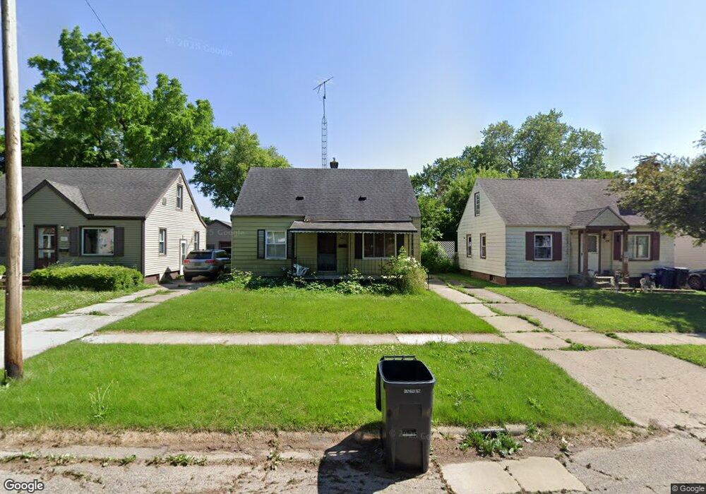
725 Clinton St Flint, MI 48507
South Side NeighborhoodEstimated Value: $54,000 - $95,000
Studio
1
Bath
932
Sq Ft
$78/Sq Ft
Est. Value
About This Home
This home is located at 725 Clinton St, Flint, MI 48507 and is currently estimated at $72,986, approximately $78 per square foot. 725 Clinton St is a home located in Genesee County with nearby schools including Neithercut Elementary School, Flint Southwestern Classical Academy, and International Academy of Flint (K-12).
Ownership History
Date
Name
Owned For
Owner Type
Purchase Details
Closed on
Jul 22, 2011
Sold by
The Genesee County Land Bank Authority
Bought by
Mckinney Mays Angela
Current Estimated Value
Purchase Details
Closed on
Dec 19, 2008
Sold by
Kildee Daniel T and Genesee County Treasurer
Bought by
Genesee County Land Bank Authority
Create a Home Valuation Report for This Property
The Home Valuation Report is an in-depth analysis detailing your home's value as well as a comparison with similar homes in the area
Home Values in the Area
Average Home Value in this Area
Purchase History
| Date | Buyer | Sale Price | Title Company |
|---|---|---|---|
| Mckinney Mays Angela | $20,000 | None Available | |
| Genesee County Land Bank Authority | -- | None Available |
Source: Public Records
Mortgage History
| Date | Status | Borrower | Loan Amount |
|---|---|---|---|
| Closed | Mckinney Mays Angela | $0 |
Source: Public Records
Tax History
| Year | Tax Paid | Tax Assessment Tax Assessment Total Assessment is a certain percentage of the fair market value that is determined by local assessors to be the total taxable value of land and additions on the property. | Land | Improvement |
|---|---|---|---|---|
| 2025 | $892 | $23,000 | $0 | $0 |
| 2024 | $811 | $20,000 | $0 | $0 |
| 2023 | $537 | $5,602 | $0 | $0 |
| 2022 | $0 | $5,336 | $0 | $0 |
| 2021 | $828 | $12,600 | $0 | $0 |
| 2020 | $750 | $11,800 | $0 | $0 |
| 2019 | $733 | $10,000 | $0 | $0 |
| 2018 | $779 | $10,800 | $0 | $0 |
| 2017 | $1,013 | $0 | $0 | $0 |
| 2016 | $1,006 | $0 | $0 | $0 |
| 2015 | -- | $0 | $0 | $0 |
| 2014 | -- | $0 | $0 | $0 |
| 2012 | -- | $21,000 | $0 | $0 |
Source: Public Records
Map
Nearby Homes
- 805 Alvord Ave
- 806 Alvord Ave
- 829 Clinton St
- 652 Crawford St
- 845 Alvord Ave
- 612 Clinton St
- 912 Huron St
- 822 Campbell St
- 1216 E Hemphill Rd
- 846 W Hemphill Rd
- 3902 Brunswick Ave
- 1015 Alvord Ave
- 3902 Cuthbertson St
- 1219 Norton St
- 1028 Campbell St
- 1122 Markham St
- 805 Vermilya Ave
- 825 Vermilya Ave
- 1210 Pinehurst Ave
- 1234 Huron St
Your Personal Tour Guide
Ask me questions while you tour the home.