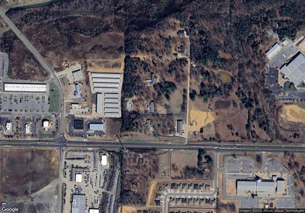
725 Diane Ln Conway, AR 72034
Southwest Conway NeighborhoodEstimated Value: $500,000 - $600,000
--
Bed
2
Baths
3,224
Sq Ft
$169/Sq Ft
Est. Value
About This Home
This home is located at 725 Diane Ln, Conway, AR 72034 and is currently estimated at $544,655, approximately $168 per square foot. 725 Diane Ln is a home located in Faulkner County with nearby schools including Jim Stone Elementary School, Carl Stuart Middle School, and Conway Junior High School.
Ownership History
Date
Name
Owned For
Owner Type
Purchase Details
Closed on
May 15, 2014
Sold by
Lemley Michael L and Lemley Linda S
Bought by
Turner Mark W and Turner Jill N
Current Estimated Value
Home Financials for this Owner
Home Financials are based on the most recent Mortgage that was taken out on this home.
Original Mortgage
$285,000
Outstanding Balance
$218,255
Interest Rate
4.46%
Mortgage Type
New Conventional
Estimated Equity
$326,400
Purchase Details
Closed on
Apr 16, 2004
Bought by
Easement Deed
Purchase Details
Closed on
Aug 21, 2000
Bought by
Ord # 00-60
Purchase Details
Closed on
Oct 20, 1998
Bought by
Lemley
Purchase Details
Closed on
Oct 2, 1998
Bought by
Lemley
Purchase Details
Closed on
Dec 21, 1995
Bought by
Pamela
Create a Home Valuation Report for This Property
The Home Valuation Report is an in-depth analysis detailing your home's value as well as a comparison with similar homes in the area
Home Values in the Area
Average Home Value in this Area
Purchase History
| Date | Buyer | Sale Price | Title Company |
|---|---|---|---|
| Turner Mark W | $300,000 | First National Title | |
| Easement Deed | -- | -- | |
| Ord # 00-60 | -- | -- | |
| Lemley | -- | -- | |
| Lemley | $175,000 | -- | |
| Pamela | -- | -- |
Source: Public Records
Mortgage History
| Date | Status | Borrower | Loan Amount |
|---|---|---|---|
| Open | Turner Mark W | $285,000 |
Source: Public Records
Tax History Compared to Growth
Tax History
| Year | Tax Paid | Tax Assessment Tax Assessment Total Assessment is a certain percentage of the fair market value that is determined by local assessors to be the total taxable value of land and additions on the property. | Land | Improvement |
|---|---|---|---|---|
| 2024 | $3,347 | $94,110 | $20,160 | $73,950 |
| 2023 | $3,188 | $66,340 | $12,080 | $54,260 |
| 2022 | $2,729 | $66,340 | $12,080 | $54,260 |
| 2021 | $2,591 | $66,340 | $12,080 | $54,260 |
| 2020 | $2,452 | $54,780 | $12,080 | $42,700 |
| 2019 | $2,452 | $54,780 | $12,080 | $42,700 |
| 2018 | $2,477 | $54,780 | $12,080 | $42,700 |
| 2017 | $2,477 | $54,780 | $12,080 | $42,700 |
| 2016 | $2,477 | $54,780 | $12,080 | $42,700 |
| 2015 | $2,943 | $58,170 | $12,080 | $46,090 |
| 2014 | $2,593 | $58,170 | $12,080 | $46,090 |
Source: Public Records
Map
Nearby Homes
- 665 S Hogan Ln
- 150 Magnolia Springs Dr
- 3600 Dave Ward Dr
- 115 Willow Springs Dr
- 3350 Sylvia Springs Dr
- 115 Las Colinas St
- 4050 Dave Ward Dr
- 950 Mattison Rd
- 4035 Dave Ward Dr
- 4015 Dave Ward Dr
- 3107 Stermer Rd
- 4025 Dave Ward Dr
- 1 Manchester Dr
- 395 Pippinpost Dr
- 3825 Donnell Ridge Rd
- 3910 Orchard Heights Dr
- 2915 Orchard View Dr
- 2925 Orchard View Dr
- 27 Westin Dr
- 2020, 37, & 39 Arkansas Ave & Blair Package
- 651 Diane Ln
- 783 Diane Ln
- 0 Diane Ln
- 760 Hogan Ln
- 3491 Dave Ward Dr
- 640 Diane Ln
- 0 Dave Ward Dr Unit 17004869
- 0 Dave Ward Dr Unit 17014269
- 0 Dave Ward Dr Unit 10336262
- 0 Dave Ward Dr Unit 17030169
- 0 Dave Ward Dr Unit Suite "D" 17022621
- 0 Dave Ward Dr Unit 15027081
- 0 Dave Ward Dr Unit 18018693
- 0 Dave Ward Dr Unit 20032182
- 0 Dave Ward Dr Unit 19006357
- 0 Dave Ward Dr Unit 19031994
- 0 Dave Ward Dr Unit 20024966
- 0 Dave Ward Dr Unit 20024908
- 3650 Dave Ward Dr
- 645 Diane Ln
