725 La Brant Rd Kalispell, MT 59901
Estimated Value: $625,036 - $724,000
2
Beds
3
Baths
1,421
Sq Ft
$482/Sq Ft
Est. Value
About This Home
This home is located at 725 La Brant Rd, Kalispell, MT 59901 and is currently estimated at $684,679, approximately $481 per square foot. 725 La Brant Rd is a home located in Flathead County with nearby schools including Bigfork Elementary School, Bigfork Middle School, and Bigfork High School.
Ownership History
Date
Name
Owned For
Owner Type
Purchase Details
Closed on
Feb 9, 2026
Sold by
Summers Elizabeth A
Bought by
Wienker Matthew Colin and Wienker Holly Ann
Current Estimated Value
Purchase Details
Closed on
Jan 14, 2016
Sold by
Gibson W Edward and Gibson Wendy S
Bought by
Gibson Scott E
Home Financials for this Owner
Home Financials are based on the most recent Mortgage that was taken out on this home.
Original Mortgage
$221,800
Interest Rate
3.92%
Mortgage Type
New Conventional
Create a Home Valuation Report for This Property
The Home Valuation Report is an in-depth analysis detailing your home's value as well as a comparison with similar homes in the area
Purchase History
| Date | Buyer | Sale Price | Title Company |
|---|---|---|---|
| Wienker Matthew Colin | -- | Fidelity National Title Compan | |
| Gibson Scott E | -- | Fidelity National Title |
Source: Public Records
Mortgage History
| Date | Status | Borrower | Loan Amount |
|---|---|---|---|
| Previous Owner | Gibson Scott E | $221,800 |
Source: Public Records
Tax History
| Year | Tax Paid | Tax Assessment Tax Assessment Total Assessment is a certain percentage of the fair market value that is determined by local assessors to be the total taxable value of land and additions on the property. | Land | Improvement |
|---|---|---|---|---|
| 2025 | $1,754 | $572,200 | $0 | $0 |
| 2024 | $2,398 | $498,600 | $0 | $0 |
| 2023 | $2,513 | $498,600 | $0 | $0 |
| 2022 | $1,949 | $302,300 | $0 | $0 |
| 2021 | $2,147 | $302,300 | $0 | $0 |
| 2020 | $1,989 | $256,100 | $0 | $0 |
| 2019 | $1,915 | $256,100 | $0 | $0 |
| 2018 | $1,803 | $227,100 | $0 | $0 |
| 2017 | $1,784 | $227,100 | $0 | $0 |
| 2016 | $1,707 | $217,400 | $0 | $0 |
| 2015 | $1,561 | $217,400 | $0 | $0 |
| 2014 | $1,495 | $125,239 | $0 | $0 |
Source: Public Records
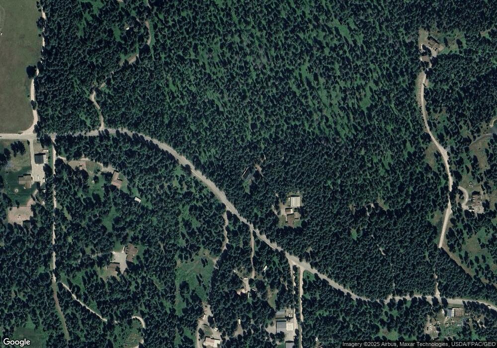
Map
Nearby Homes
- 369 La Brant Rd
- 685 Lindsey Ct
- 1029 Lake of the Woods Ln
- 221 Belterra Ln
- 33 Shale Ct
- 203 Muth Ln
- 5464 Mt Highway 35
- 306 Parker Lakes Rd
- 1262 Riverside Rd
- 701 McCaffery Rd
- 300 S Many Lakes Dr
- 129 Foothill Trail
- 1874 Echo Cabin Loop
- 3820 Foothill Rd
- 828 Abbot Village Dr
- 1844 Echo Cabin Loop
- 3039 and 3005 Foothill Rd
- 3740 Foothill Rd
- 5110 Montana Highway 35
- 155 Spotted Fawn Ln
- 760 La Brant Rd
- 745 La Brant Rd
- 712 La Brant Rd
- 750 La Brant Rd
- 750 La Brant Rd
- 750 La Brant Rd
- 690 Labrandt Rd
- 67 Grizzly Base Ln
- 780 La Brant Rd
- 706 La Brant Rd
- 760 La Brant Rd
- 11 Grizzly Base Ln
- 11 Grizzly Base Ln
- 697 La Brant Rd
- 695 La Brant Rd
- 650 La Brant Rd
- 121 Grizzly Base Ln
- 699 La Brant Rd
- 691 La Brant Rd
- 135 Kohler Lake Ln
Your Personal Tour Guide
Ask me questions while you tour the home.