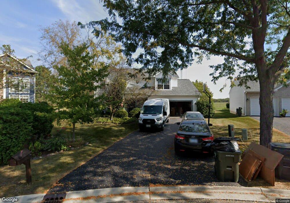
725 N Summit Ct Lindenhurst, IL 60046
Estimated Value: $392,000 - $436,000
3
Beds
3
Baths
2,155
Sq Ft
$194/Sq Ft
Est. Value
About This Home
This home is located at 725 N Summit Ct, Lindenhurst, IL 60046 and is currently estimated at $417,206, approximately $193 per square foot. 725 N Summit Ct is a home located in Lake County with nearby schools including Lakes Community High School.
Ownership History
Date
Name
Owned For
Owner Type
Purchase Details
Closed on
Mar 8, 1996
Sold by
J Maki Construction Company
Bought by
Schulz Greg P and Schulz Geri A
Current Estimated Value
Home Financials for this Owner
Home Financials are based on the most recent Mortgage that was taken out on this home.
Original Mortgage
$154,900
Interest Rate
7.06%
Mortgage Type
Balloon
Create a Home Valuation Report for This Property
The Home Valuation Report is an in-depth analysis detailing your home's value as well as a comparison with similar homes in the area
Home Values in the Area
Average Home Value in this Area
Purchase History
| Date | Buyer | Sale Price | Title Company |
|---|---|---|---|
| Schulz Greg P | $182,500 | -- |
Source: Public Records
Mortgage History
| Date | Status | Borrower | Loan Amount |
|---|---|---|---|
| Closed | Schulz Greg P | $154,900 |
Source: Public Records
Tax History
| Year | Tax Paid | Tax Assessment Tax Assessment Total Assessment is a certain percentage of the fair market value that is determined by local assessors to be the total taxable value of land and additions on the property. | Land | Improvement |
|---|---|---|---|---|
| 2024 | $10,373 | $114,415 | $23,483 | $90,932 |
| 2023 | $9,945 | $101,091 | $20,748 | $80,343 |
| 2022 | $9,945 | $92,914 | $14,317 | $78,597 |
| 2021 | $9,464 | $86,312 | $13,300 | $73,012 |
| 2020 | $9,254 | $83,547 | $12,874 | $70,673 |
| 2019 | $10,131 | $85,391 | $13,158 | $72,233 |
| 2018 | $10,362 | $90,251 | $19,150 | $71,101 |
| 2017 | $10,088 | $87,844 | $18,639 | $69,205 |
| 2016 | $10,305 | $84,287 | $17,884 | $66,403 |
| 2015 | $9,843 | $78,721 | $16,703 | $62,018 |
| 2014 | $9,494 | $71,840 | $16,779 | $55,061 |
| 2012 | $8,826 | $82,667 | $20,118 | $62,549 |
Source: Public Records
Map
Nearby Homes
- 1896 E Vista Terrace
- 1650 Natures Way
- 527 Northgate Rd Unit 28
- 533 N Beck Rd Unit 28
- 39252 N Gelden Ln
- 20215 W Miller Rd
- 2312 High Point Dr
- 433 Woodland Trail
- 420 Woodland Trail
- 1903 S Shore Cove
- 428 Woodland Trail
- 434 Woodland Trail
- 405 Woodland Trail
- 1809 Maplewood Ct
- 1772 S Port Dr
- 1768 S Port Dr
- 1764 S Port Dr
- 697 Providence Ln
- 210 Hazelwood Dr
- 1245 Prairie Ridge Trail
- 724 N Summit Ct
- 723 N Summit Ct
- 721 N Summit Ct
- 722 N Summit Ct
- 730 N Clover Ct
- 1879 E Vista Terrace
- 719 N Summit Ct
- 720 N Summit Ct
- 734 N Clover Ct
- 724 N Clover Ct
- 735 N Auburn Ln
- 1863 E Vista Terrace
- 720 N Clover Ct
- 716 N Clover Ct
- 735 N Clover Ct
- 1871 E Ivy Cir
- 730 N Horizon Ct
- 1847 E Vista Terrace
- 1865 E Ivy Cir
- 739 N Auburn Ln
Your Personal Tour Guide
Ask me questions while you tour the home.