Estimated Value: $231,714 - $269,000
4
Beds
3
Baths
1,219
Sq Ft
$205/Sq Ft
Est. Value
About This Home
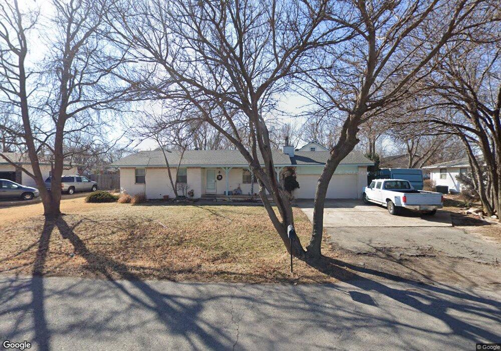
This home is located at 725 S Queen St, Maize, KS 67101 and is currently estimated at $250,357, approximately $205 per square foot. 725 S Queen St is a home located in Sedgwick County with nearby schools including Maize Middle School and Maize High School.
Ownership History
Date
Name
Owned For
Owner Type
Purchase Details
Closed on
Apr 6, 1999
Sold by
Nartker Nina J and Stroade Nina J
Bought by
Wilson Kent W and Wilson Ted R
Current Estimated Value
Home Financials for this Owner
Home Financials are based on the most recent Mortgage that was taken out on this home.
Original Mortgage
$81,958
Outstanding Balance
$20,961
Interest Rate
7.16%
Mortgage Type
FHA
Estimated Equity
$229,396
Create a Home Valuation Report for This Property
The Home Valuation Report is an in-depth analysis detailing your home's value as well as a comparison with similar homes in the area
Home Values in the Area
Average Home Value in this Area
Purchase History
We collect this data history from publicly available records. To have your information removed, we recommend requesting removal directly through your county’s website.
| Date | Buyer | Sale Price | Title Company |
|---|---|---|---|
| Wilson Kent W | -- | Columbian Natl Title Ins Co |
Source: Public Records
Mortgage History
We collect this data history from publicly available records. To have your information removed, we recommend requesting removal directly through your county’s website.
| Date | Status | Borrower | Loan Amount |
|---|---|---|---|
| Open | Wilson Kent W | $81,958 |
Source: Public Records
Tax History
| Year | Tax Paid | Tax Assessment Tax Assessment Total Assessment is a certain percentage of the fair market value that is determined by local assessors to be the total taxable value of land and additions on the property. | Land | Improvement |
|---|---|---|---|---|
| 2025 | $3,387 | $24,829 | $5,727 | $19,102 |
| 2023 | $3,387 | $21,057 | $4,738 | $16,319 |
| 2022 | $3,178 | $21,057 | $4,474 | $16,583 |
| 2021 | $3,022 | $19,861 | $2,979 | $16,882 |
| 2020 | $2,844 | $18,734 | $2,979 | $15,755 |
| 2019 | $2,700 | $17,837 | $2,979 | $14,858 |
| 2018 | $2,554 | $16,825 | $1,909 | $14,916 |
| 2017 | $2,396 | $0 | $0 | $0 |
| 2016 | $2,394 | $0 | $0 | $0 |
| 2015 | $2,385 | $0 | $0 | $0 |
| 2014 | $2,435 | $0 | $0 | $0 |
Source: Public Records
Map
Nearby Homes
- 600 Trotter Ave
- 600 Laramie Cir
- 823 Surrey Ln
- 4560 N Atherton St
- 10913 W Cedar Ln
- 10498 W Wilkinson St
- 10696 Sondra
- 403 S Sweetwater Rd
- 613 S Sweetwater Cir
- 10861 W Sondra Ct
- 10771 W Sondra Ct
- 10873 W Sondra St
- 9658 W Cedar Ln
- 11320 W Sondra St
- 4456 N Bluestem St
- 9646 W Cedar Ln
- 9642 W Cedar Ln
- 9638 W Cedar Ln
- 9630 W Cedar Ln
- 9650 W Cedar Ln
- 733 S Queen St
- 717 S Queen St
- 726 Atherton St
- 720 S Queen St
- 726 S Queen St
- 734 Atherton St
- 714 S Queen St
- 709 S Queen St
- 732 S Queen St
- 741 S Queen St
- 710 Atherton St
- 708 S Queen St
- 701 S Queen St
- 740 S Queen St
- 742 Atherton St
- 725 Atherton St
- 702 Atherton St
- 725 Opal St
- 719 Opal St
- 733 Atherton St
Your Personal Tour Guide
Ask me questions while you tour the home.