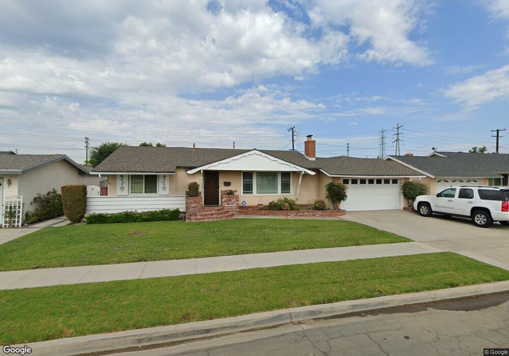
725 S Sylvan St Anaheim, CA 92804
West Anaheim NeighborhoodEstimated Value: $907,090 - $974,000
3
Beds
2
Baths
1,637
Sq Ft
$576/Sq Ft
Est. Value
About This Home
This home is located at 725 S Sylvan St, Anaheim, CA 92804 and is currently estimated at $942,273, approximately $575 per square foot. 725 S Sylvan St is a home located in Orange County with nearby schools including Mattie Lou Maxwell Elementary School, Dale Jr High School, and Magnolia High.
Ownership History
Date
Name
Owned For
Owner Type
Purchase Details
Closed on
Dec 9, 2016
Sold by
Seabolt Vicki Rhodes
Bought by
Seabolt Vicki Rhodes and Vicki Rhodes Seabolt Revocable Trust
Current Estimated Value
Purchase Details
Closed on
May 6, 2002
Sold by
Rhodes Garland Hicks and Rhodes Syble P
Bought by
Rhodes Garland Hicks and Rhodes Syble Lee
Create a Home Valuation Report for This Property
The Home Valuation Report is an in-depth analysis detailing your home's value as well as a comparison with similar homes in the area
Home Values in the Area
Average Home Value in this Area
Purchase History
| Date | Buyer | Sale Price | Title Company |
|---|---|---|---|
| Seabolt Vicki Rhodes | -- | None Available | |
| Seabolt Vicki Rhodes | -- | None Available | |
| Rhodes Garland Hicks | -- | None Available | |
| Rhodes Garland Hicks | -- | -- |
Source: Public Records
Tax History Compared to Growth
Tax History
| Year | Tax Paid | Tax Assessment Tax Assessment Total Assessment is a certain percentage of the fair market value that is determined by local assessors to be the total taxable value of land and additions on the property. | Land | Improvement |
|---|---|---|---|---|
| 2025 | $1,157 | $72,380 | $29,342 | $43,038 |
| 2024 | $1,157 | $70,961 | $28,766 | $42,195 |
| 2023 | $1,125 | $69,570 | $28,202 | $41,368 |
| 2022 | $1,108 | $68,206 | $27,649 | $40,557 |
| 2021 | $1,094 | $66,869 | $27,107 | $39,762 |
| 2020 | $1,087 | $66,184 | $26,829 | $39,355 |
| 2019 | $1,067 | $64,887 | $26,303 | $38,584 |
| 2018 | $1,054 | $63,615 | $25,787 | $37,828 |
| 2017 | $1,024 | $62,368 | $25,281 | $37,087 |
| 2016 | $1,017 | $61,146 | $24,786 | $36,360 |
| 2015 | $929 | $60,228 | $24,414 | $35,814 |
| 2014 | $889 | $59,049 | $23,936 | $35,113 |
Source: Public Records
Map
Nearby Homes
- 837 S Magnolia Ave
- 507 S Shields Dr
- 2517 W Merle Place
- 1234 S Macduff St
- 2550 W Rowland Ave
- 927 S Webster Ave
- 8921 Kennelly Ln
- 1223 S Dale Ave
- 2513 W Fulcrum Place
- 134 S Magnolia Ave Unit 4C
- 2513 W Mall Place
- 2533 W Chanticleer Rd
- 2435 W Broadway
- 2770 W Lincoln Ave Unit 29A
- 2770 W Lincoln Ave Unit 40
- 2770 W Lincoln Ave Unit 58
- 2945 W Bridgeport Ave
- 2432 W Transit Ave
- 2631 W Cerritos Ave
- 199 N Magnolia Ave Unit B
- 721 S Sylvan St
- 729 S Sylvan St
- 726 S Sherrill St
- 720 S Sherrill St
- 730 S Sherrill St
- 715 S Sylvan St
- 735 S Sylvan St
- 724 S Sylvan St
- 728 S Sylvan St
- 716 S Sherrill St
- 720 S Sylvan St
- 734 S Sherrill St
- 714 S Sylvan St
- 711 S Sylvan St
- 710 S Sherrill St
- 725 S Verona St
- 725 S Sherrill St
- 729 S Sherrill St
- 731 S Verona St
- 721 S Verona St