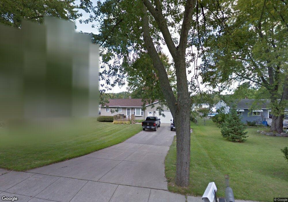
725 Tickner St Linden, MI 48451
Estimated Value: $210,000 - $265,000
3
Beds
1
Bath
918
Sq Ft
$265/Sq Ft
Est. Value
About This Home
This home is located at 725 Tickner St, Linden, MI 48451 and is currently estimated at $243,367, approximately $265 per square foot. 725 Tickner St is a home located in Genesee County with nearby schools including Linden Elementary School, Linden Middle School, and Linden High School.
Ownership History
Date
Name
Owned For
Owner Type
Purchase Details
Closed on
Jan 28, 2003
Sold by
Fletcher Joann and Fletcher Matthew J
Bought by
Fletcher Matthew
Current Estimated Value
Purchase Details
Closed on
May 7, 2001
Sold by
Fletcher Joann
Bought by
Fletcher Joann and Fletcher Matthew J
Home Financials for this Owner
Home Financials are based on the most recent Mortgage that was taken out on this home.
Original Mortgage
$106,100
Outstanding Balance
$39,500
Interest Rate
6.99%
Estimated Equity
$203,867
Create a Home Valuation Report for This Property
The Home Valuation Report is an in-depth analysis detailing your home's value as well as a comparison with similar homes in the area
Home Values in the Area
Average Home Value in this Area
Purchase History
| Date | Buyer | Sale Price | Title Company |
|---|---|---|---|
| Fletcher Matthew | -- | Cislo Title Company | |
| Fletcher Joann | -- | Lawyers Title Insurance Co | |
| Fletcher Joann | $117,911 | Lawyers Title Insurance Corp |
Source: Public Records
Mortgage History
| Date | Status | Borrower | Loan Amount |
|---|---|---|---|
| Open | Fletcher Joann | $106,100 | |
| Closed | Fletcher Joann | $106,100 |
Source: Public Records
Tax History Compared to Growth
Tax History
| Year | Tax Paid | Tax Assessment Tax Assessment Total Assessment is a certain percentage of the fair market value that is determined by local assessors to be the total taxable value of land and additions on the property. | Land | Improvement |
|---|---|---|---|---|
| 2025 | $2,048 | $117,500 | $0 | $0 |
| 2024 | $1,214 | $98,600 | $0 | $0 |
| 2023 | $1,239 | $89,600 | $0 | $0 |
| 2022 | $1,871 | $76,900 | $0 | $0 |
| 2021 | $1,629 | $69,800 | $0 | $0 |
| 2020 | $1,129 | $67,800 | $0 | $0 |
| 2019 | $1,129 | $58,900 | $0 | $0 |
| 2018 | $1,512 | $58,900 | $0 | $0 |
| 2017 | $1,466 | $54,900 | $0 | $0 |
| 2016 | $1,843 | $51,000 | $0 | $0 |
| 2015 | $1,844 | $45,100 | $0 | $0 |
| 2012 | -- | $33,431 | $33,431 | $0 |
Source: Public Records
Map
Nearby Homes
- 214 Willow Ln
- 628 Riverside Dr
- 4467 Edison Blvd
- 4468 Edison Blvd Unit 50
- 14238 Durant St
- 14499 Ripley Rd
- The Columbia Plan at Liberty Shores
- The Princeton Plan at Liberty Shores
- The Bloomington Plan at Liberty Shores
- The Berkeley Plan at Liberty Shores
- The Austin Plan at Liberty Shores
- The Hampton Plan at Liberty Shores
- The Oxford Plan at Liberty Shores
- 4453 Ford Ave
- 4448 Ford Ave
- 245 Andrea Ave Unit 33
- 5194 Amelia Earhart Dr
- 5202 Amelia Earhart Dr
- 185 Laura Ln Unit 26
- 14265 Wright Dr
- 717 Tickner St
- 733 Tickner St
- 726 Grant Cir
- 718 Grant Cir
- 709 Tickner St
- 741 Tickner St
- 734 Grant Cir
- 710 Grant Cir Unit Bldg-Unit
- 718 Tickner St
- 701 Tickner St
- 749 Tickner St
- 710 Tickner St
- 802 Tickner St
- 702 Grant Cir
- 750 Grant Cir
- 726 Tickner St
- 742 Grant Cir
- 734 Tickner St
- 729 Grant Cir
- 737 Grant Cir