Estimated Value: $205,000 - $243,000
3
Beds
1
Bath
--
Sq Ft
10,803
Sq Ft Lot
About This Home
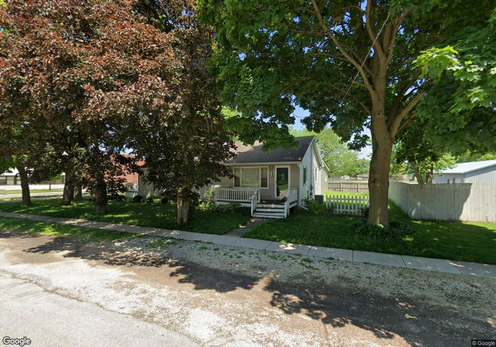
This home is located at 725 W 2nd St, Genoa, IL 60135 and is currently estimated at $227,994. 725 W 2nd St is a home located in DeKalb County with nearby schools including Kingston Elementary School, Genoa Elementary School, and Genoa-Kingston Middle School.
Ownership History
Date
Name
Owned For
Owner Type
Purchase Details
Closed on
Mar 26, 2010
Sold by
Beach Carolyn D
Bought by
Beach David M
Current Estimated Value
Home Financials for this Owner
Home Financials are based on the most recent Mortgage that was taken out on this home.
Original Mortgage
$80,000
Outstanding Balance
$52,341
Interest Rate
4.96%
Mortgage Type
New Conventional
Estimated Equity
$175,653
Purchase Details
Closed on
Sep 10, 2009
Sold by
Bank Of New York Mellon Tr Co
Bought by
Beach Carolyn D
Purchase Details
Closed on
Aug 7, 2009
Sold by
Dekalb County Sheriff
Bought by
Bank Of New York Mellon Trust
Create a Home Valuation Report for This Property
The Home Valuation Report is an in-depth analysis detailing your home's value as well as a comparison with similar homes in the area
Home Values in the Area
Average Home Value in this Area
Purchase History
| Date | Buyer | Sale Price | Title Company |
|---|---|---|---|
| Beach David M | $100,000 | -- | |
| Beach Carolyn D | $65,000 | -- | |
| Bank Of New York Mellon Trust | -- | -- |
Source: Public Records
Mortgage History
| Date | Status | Borrower | Loan Amount |
|---|---|---|---|
| Open | Beach David M | $80,000 |
Source: Public Records
Tax History
| Year | Tax Paid | Tax Assessment Tax Assessment Total Assessment is a certain percentage of the fair market value that is determined by local assessors to be the total taxable value of land and additions on the property. | Land | Improvement |
|---|---|---|---|---|
| 2024 | $5,228 | $65,727 | $11,828 | $53,899 |
| 2023 | $4,624 | $61,130 | $11,001 | $50,129 |
| 2022 | $4,624 | $52,797 | $10,639 | $42,158 |
| 2021 | $4,340 | $49,954 | $10,066 | $39,888 |
| 2020 | $4,388 | $49,724 | $9,960 | $39,764 |
| 2019 | $4,224 | $46,799 | $9,374 | $37,425 |
| 2018 | $4,078 | $44,677 | $8,949 | $35,728 |
| 2017 | $3,972 | $42,921 | $8,597 | $34,324 |
| 2016 | $4,007 | $42,822 | $8,577 | $34,245 |
| 2015 | -- | $41,794 | $8,371 | $33,423 |
| 2014 | -- | $41,079 | $8,228 | $32,851 |
| 2013 | -- | $41,018 | $8,216 | $32,802 |
Source: Public Records
Map
Nearby Homes
- 515 W 2nd St
- 215 N State St
- 109 S Washington St
- 120 Monroe St
- 105 S Sycamore St
- 232 S Genoa St
- 118 N Locust St
- 408 Stearn Dr Unit 408
- 437 Stearn Dr Unit 437
- 433 Stearn Dr
- 621 Stearn Dr
- 214 Winding Trail
- 427 Riverbend Dr
- 508 Winding Trail
- 408 Preserve Dr
- 118 Stiles St
- 561 Stearn Dr Unit 561
- 563 Stearn Dr Unit 563
- 0000 Walnut St
- 404 S Stott St
Your Personal Tour Guide
Ask me questions while you tour the home.