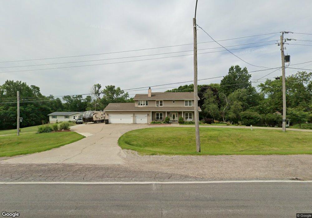
7250 Bloomfield Rd Des Moines, IA 50320
Bloomfield/Allen NeighborhoodEstimated Value: $226,000 - $384,727
4
Beds
2
Baths
2,256
Sq Ft
$146/Sq Ft
Est. Value
About This Home
This home is located at 7250 Bloomfield Rd, Des Moines, IA 50320 and is currently estimated at $330,182, approximately $146 per square foot. 7250 Bloomfield Rd is a home located in Polk County with nearby schools including Studebaker Elementary School, Mccombs Middle School, and Lincoln High School.
Ownership History
Date
Name
Owned For
Owner Type
Purchase Details
Closed on
Apr 14, 2004
Sold by
Tcf National Bank Of Minnesota
Bought by
Quigley Richard W and Quigley Elena M
Current Estimated Value
Home Financials for this Owner
Home Financials are based on the most recent Mortgage that was taken out on this home.
Original Mortgage
$122,400
Outstanding Balance
$56,795
Interest Rate
5.46%
Mortgage Type
Purchase Money Mortgage
Estimated Equity
$273,387
Create a Home Valuation Report for This Property
The Home Valuation Report is an in-depth analysis detailing your home's value as well as a comparison with similar homes in the area
Home Values in the Area
Average Home Value in this Area
Purchase History
| Date | Buyer | Sale Price | Title Company |
|---|---|---|---|
| Quigley Richard W | $152,500 | -- |
Source: Public Records
Mortgage History
| Date | Status | Borrower | Loan Amount |
|---|---|---|---|
| Open | Quigley Richard W | $122,400 |
Source: Public Records
Tax History Compared to Growth
Tax History
| Year | Tax Paid | Tax Assessment Tax Assessment Total Assessment is a certain percentage of the fair market value that is determined by local assessors to be the total taxable value of land and additions on the property. | Land | Improvement |
|---|---|---|---|---|
| 2025 | $5,934 | $332,500 | $72,900 | $259,600 |
| 2024 | $5,934 | $312,100 | $67,500 | $244,600 |
| 2023 | $5,650 | $312,100 | $67,500 | $244,600 |
| 2022 | $5,604 | $248,600 | $55,900 | $192,700 |
| 2021 | $5,058 | $248,600 | $55,900 | $192,700 |
| 2020 | $5,248 | $220,000 | $49,300 | $170,700 |
| 2019 | $5,026 | $220,000 | $49,300 | $170,700 |
| 2018 | $4,970 | $204,300 | $44,800 | $159,500 |
| 2017 | $4,528 | $204,300 | $44,800 | $159,500 |
| 2016 | $4,408 | $179,400 | $41,900 | $137,500 |
| 2015 | $4,408 | $179,400 | $41,900 | $137,500 |
| 2014 | $4,802 | $205,200 | $47,100 | $158,100 |
Source: Public Records
Map
Nearby Homes
- 7085 Bloomfield Rd Unit 200
- 2101 Meadow Ct Unit 903
- 2100 Meadow Chase Ln Unit 607
- 6901 SE 14th St Unit 75
- 6901 SE 14th St Unit 30
- 6901 SE 14th St Unit 245
- 1660 E Army Post Rd
- 7500 SE Bloomfield Rd Unit 40
- 01 County Line Rd
- 00 County Line Rd
- 6900 Star View St
- 5705 SE 19th St
- 5841 SE 22nd Ct
- 500 E County Line Rd
- 5806 SE 24th St
- 2241 Hart Ave Unit 1
- 2241 Hart Ave Unit 2
- 2200 Hart Ave Unit 5
- 2321 Hart Ave Unit 2
- 2321 Hart Ave Unit 5
- 7252 Bloomfield Rd
- 7230 Bloomfield Rd
- 6679 Bloomfield Rd
- 7255 Bloomfield Rd
- Parcel A Bloomfield Acres
- 7330 SE 19th St
- 7320 SE 19th St
- 7310 SE 19th St
- 7340 SE 19th St
- 7350 SE 19th St
- 1910 E Luster Ln
- 7360 SE 19th St
- 1920 E Luster Ln
- 7331 SE 19th St
- 7321 SE 19th St
- 7341 SE 19th St
- 7311 SE 19th St
- 7351 SE 19th St
- 7361 SE 19th St
- 1930 E Luster Ln