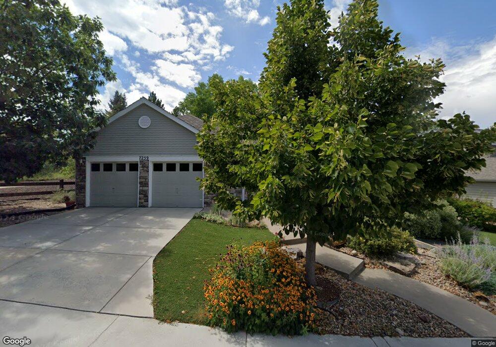
7259 Tenby Way Castle Pines, CO 80108
Estimated Value: $721,066 - $808,000
2
Beds
2
Baths
2,130
Sq Ft
$357/Sq Ft
Est. Value
About This Home
This home is located at 7259 Tenby Way, Castle Pines, CO 80108 and is currently estimated at $759,517, approximately $356 per square foot. 7259 Tenby Way is a home located in Douglas County with nearby schools including Buffalo Ridge Elementary School, Rocky Heights Middle School, and Rock Canyon High School.
Ownership History
Date
Name
Owned For
Owner Type
Purchase Details
Closed on
Aug 23, 1996
Sold by
The Writer Corp
Bought by
Lichtenheld Richard W and Mitchell Eva M
Current Estimated Value
Home Financials for this Owner
Home Financials are based on the most recent Mortgage that was taken out on this home.
Original Mortgage
$207,000
Outstanding Balance
$16,450
Interest Rate
8.27%
Estimated Equity
$743,067
Create a Home Valuation Report for This Property
The Home Valuation Report is an in-depth analysis detailing your home's value as well as a comparison with similar homes in the area
Home Values in the Area
Average Home Value in this Area
Purchase History
| Date | Buyer | Sale Price | Title Company |
|---|---|---|---|
| Lichtenheld Richard W | $271,547 | Land Title |
Source: Public Records
Mortgage History
| Date | Status | Borrower | Loan Amount |
|---|---|---|---|
| Open | Lichtenheld Richard W | $207,000 |
Source: Public Records
Tax History Compared to Growth
Tax History
| Year | Tax Paid | Tax Assessment Tax Assessment Total Assessment is a certain percentage of the fair market value that is determined by local assessors to be the total taxable value of land and additions on the property. | Land | Improvement |
|---|---|---|---|---|
| 2024 | $4,290 | $53,720 | $10,370 | $43,350 |
| 2023 | $4,330 | $53,720 | $10,370 | $43,350 |
| 2022 | $3,094 | $39,040 | $7,510 | $31,530 |
| 2021 | $3,216 | $39,040 | $7,510 | $31,530 |
| 2020 | $3,034 | $37,180 | $7,030 | $30,150 |
| 2019 | $3,043 | $39,620 | $7,030 | $32,590 |
| 2018 | $2,816 | $34,600 | $5,370 | $29,230 |
| 2017 | $2,646 | $34,600 | $5,370 | $29,230 |
| 2016 | $2,741 | $32,910 | $6,960 | $25,950 |
| 2015 | $1,523 | $32,910 | $6,960 | $25,950 |
| 2014 | $2,592 | $28,190 | $6,410 | $21,780 |
Source: Public Records
Map
Nearby Homes
- 7207 Shoreham Dr
- 7412 Berkeley Ct
- 7445 Shoreham Place
- 7263 Wembley Place
- 577 Clarendon Loop
- 7369 Norfolk Place
- 1250 Bridgefield Rd
- 1249 Bridgefield Rd
- 18 Brixham Ct
- 7271 Brixham Cir
- 6810 Brendon Place
- 7083 Turweston Ln
- 252 Huntley Ct
- 750 Deer Clover Cir
- 7350 Brixham Cir
- 811 Deer Clover Cir
- 527 Stonemont Dr
- 939 Greenway Ln
- 640 Stonemont Ct
- 166 Green Fee Cir
- 7269 Tenby Way
- 7277 Tenby Way
- 7285 Tenby Way
- 327 Clare Dr
- 7251 Brighton Place
- 7260 Brighton Place
- 309 Clare Dr
- 7261 Brighton Place
- 7284 Tenby Way
- 7290 Brighton Ct
- 7268 Brighton Place
- 7298 Brighton Ct
- 326 Clare Dr
- 291 Clare Dr
- 7284 Brighton Ct
- 7269 Brighton Place
- 7274 Brighton Place
- 279 Clare Dr
- 7236 Somerset Ct
- 267 Clare Dr