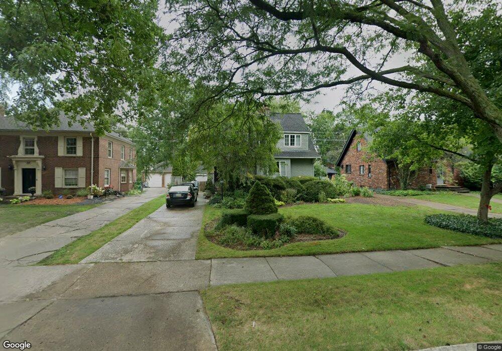
726 Barrington Rd Grosse Pointe Park, MI 48230
Estimated Value: $360,767 - $435,000
--
Bed
3
Baths
1,925
Sq Ft
$207/Sq Ft
Est. Value
About This Home
This home is located at 726 Barrington Rd, Grosse Pointe Park, MI 48230 and is currently estimated at $398,192, approximately $206 per square foot. 726 Barrington Rd is a home located in Wayne County with nearby schools including Pierce Middle School, Grosse Pointe South High School, and Detroit Merit Charter Academy.
Ownership History
Date
Name
Owned For
Owner Type
Purchase Details
Closed on
Oct 31, 2024
Sold by
Gilewski Earl S and Gilewski Denise M
Bought by
Gilewski Earl S and Gilewski Denise M
Current Estimated Value
Purchase Details
Closed on
Dec 4, 1996
Sold by
Charles M and Charles Elizabeth B
Bought by
Earl S and Gilewski Denise M
Create a Home Valuation Report for This Property
The Home Valuation Report is an in-depth analysis detailing your home's value as well as a comparison with similar homes in the area
Home Values in the Area
Average Home Value in this Area
Purchase History
| Date | Buyer | Sale Price | Title Company |
|---|---|---|---|
| Gilewski Earl S | -- | None Listed On Document | |
| Earl S | $149,000 | -- |
Source: Public Records
Tax History Compared to Growth
Tax History
| Year | Tax Paid | Tax Assessment Tax Assessment Total Assessment is a certain percentage of the fair market value that is determined by local assessors to be the total taxable value of land and additions on the property. | Land | Improvement |
|---|---|---|---|---|
| 2025 | $2,726 | $183,700 | $0 | $0 |
| 2024 | $2,726 | $170,300 | $0 | $0 |
| 2023 | $2,604 | $150,500 | $0 | $0 |
| 2022 | $2,473 | $139,100 | $0 | $0 |
| 2021 | $4,877 | $137,100 | $0 | $0 |
| 2019 | $5,019 | $121,800 | $0 | $0 |
| 2018 | $2,358 | $107,200 | $0 | $0 |
| 2017 | $5,611 | $77,700 | $0 | $0 |
| 2016 | $5,094 | $103,400 | $0 | $0 |
| 2015 | $8,826 | $98,400 | $0 | $0 |
| 2013 | $8,550 | $86,900 | $0 | $0 |
| 2012 | $2,380 | $91,000 | $36,000 | $55,000 |
Source: Public Records
Map
Nearby Homes
- 784 Barrington Rd
- 709 Lakepointe St
- 504 Alter Rd
- 709 Middlesex Rd
- 614 Pemberton Rd
- 429 Manistique St
- 847 Barrington Rd
- 487 Philip St
- 458 Marlborough St
- 289 Manistique St
- 709 Ashland St
- 402 Chalmers St
- 388 Chalmers St
- 225 Ashland St
- 383 Chalmers St
- 15345 Windmill Pointe Dr
- 718 Berkshire Rd
- 15215 Windmill Pointe Dr
- 875 Balfour St
- 877 Manistique St
- 722 Barrington Rd
- 734 Barrington Rd
- 716 Barrington Rd
- 740 Barrington Rd
- 729 Pemberton Rd
- 721 Pemberton Rd
- 743 Pemberton Rd
- 710 Barrington Rd
- 746 Barrington Rd
- 729 Barrington Rd
- 715 Pemberton Rd
- 723 Barrington Rd
- 735 Barrington Rd
- 704 Barrington Rd
- 752 Barrington Rd
- 751 Pemberton Rd
- 705 Pemberton Rd
- 747 Barrington Rd
- 711 Barrington Rd
- 741 Barrington Rd