726 Dorothy St Rossville, GA 30741
Estimated Value: $202,695 - $227,000
--
Bed
2
Baths
1,104
Sq Ft
$194/Sq Ft
Est. Value
About This Home
This home is located at 726 Dorothy St, Rossville, GA 30741 and is currently estimated at $213,924, approximately $193 per square foot. 726 Dorothy St is a home located in Walker County with nearby schools including Stone Creek Elementary School, Rossville Middle School, and Ridgeland High School.
Ownership History
Date
Name
Owned For
Owner Type
Purchase Details
Closed on
Apr 17, 2012
Sold by
Brock John D
Bought by
Brock Tava Lee
Current Estimated Value
Purchase Details
Closed on
Feb 10, 1998
Sold by
Carter Marilyn J F and Carter K
Bought by
Brock John D and Lea Marie
Purchase Details
Closed on
Jul 26, 1993
Sold by
Cole Johnnie P
Bought by
Carter Marilyn J F and Carter K
Purchase Details
Closed on
May 3, 1982
Sold by
Cole B W
Bought by
Cole Johnnie P
Purchase Details
Closed on
Jul 10, 1952
Bought by
Cole B W
Create a Home Valuation Report for This Property
The Home Valuation Report is an in-depth analysis detailing your home's value as well as a comparison with similar homes in the area
Home Values in the Area
Average Home Value in this Area
Purchase History
| Date | Buyer | Sale Price | Title Company |
|---|---|---|---|
| Brock Tava Lee | -- | -- | |
| Brock John D | -- | -- | |
| Carter Marilyn J F | -- | -- | |
| Cole Johnnie P | -- | -- | |
| Cole B W | -- | -- |
Source: Public Records
Tax History Compared to Growth
Tax History
| Year | Tax Paid | Tax Assessment Tax Assessment Total Assessment is a certain percentage of the fair market value that is determined by local assessors to be the total taxable value of land and additions on the property. | Land | Improvement |
|---|---|---|---|---|
| 2024 | $1,820 | $80,696 | $16,150 | $64,546 |
| 2023 | $1,782 | $77,321 | $16,150 | $61,171 |
| 2022 | $1,660 | $68,718 | $16,150 | $52,568 |
| 2021 | $1,330 | $49,446 | $15,164 | $34,282 |
| 2020 | $1,177 | $41,970 | $15,164 | $26,806 |
| 2019 | $1,198 | $41,970 | $15,164 | $26,806 |
| 2018 | $1,111 | $41,970 | $15,164 | $26,806 |
| 2017 | $1,108 | $41,970 | $15,164 | $26,806 |
| 2016 | $1,108 | $41,970 | $15,164 | $26,806 |
| 2015 | $952 | $33,574 | $6,200 | $27,374 |
| 2014 | $862 | $33,574 | $6,200 | $27,374 |
| 2013 | $1,111 | $33,574 | $6,200 | $27,374 |
Source: Public Records
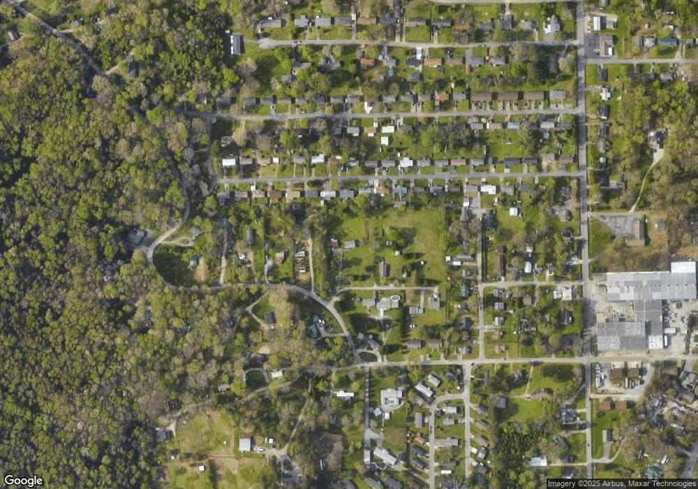
Map
Nearby Homes
- 722 Dorothy St
- 723 Mary Agnes Dr
- 725 Mary Agnes Dr
- 721 Mary Agnes Dr
- 727 Mary Agnes Dr
- 756 Salem Rd
- 719 Mary Agnes Dr
- 719 Dorothy St
- 729 Mary Agnes Dr
- 751 Salem Rd
- 717 Mary Agnes Dr
- 1 Flegal Ln
- 731 Mary Agnes Dr
- 726 Mary Agnes Dr
- 728 Mary Agnes Dr
- 715 Mary Agnes Dr
- 730 Mary Agnes Dr
- 724 Mary Agnes Dr
- 766 Salem Rd
- 715 Dorothy St