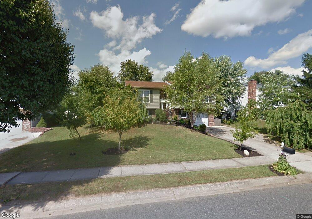
726 High Plain Dr Bel Air, MD 21014
Estimated Value: $323,000 - $447,000
--
Bed
1
Bath
1,227
Sq Ft
$317/Sq Ft
Est. Value
About This Home
This home is located at 726 High Plain Dr, Bel Air, MD 21014 and is currently estimated at $389,139, approximately $317 per square foot. 726 High Plain Dr is a home located in Harford County with nearby schools including Homestead-Wakefield Elementary School, Bel Air Middle School, and Bel Air High School.
Ownership History
Date
Name
Owned For
Owner Type
Purchase Details
Closed on
Jun 26, 1997
Sold by
Ford Garry O
Bought by
Pasqualini David and Pasqualini Lisa M
Current Estimated Value
Purchase Details
Closed on
Sep 19, 1983
Sold by
Universal Management Corp
Bought by
Ford Garry O
Home Financials for this Owner
Home Financials are based on the most recent Mortgage that was taken out on this home.
Original Mortgage
$63,500
Interest Rate
13.72%
Create a Home Valuation Report for This Property
The Home Valuation Report is an in-depth analysis detailing your home's value as well as a comparison with similar homes in the area
Home Values in the Area
Average Home Value in this Area
Purchase History
| Date | Buyer | Sale Price | Title Company |
|---|---|---|---|
| Pasqualini David | $136,000 | -- | |
| Ford Garry O | $73,000 | -- |
Source: Public Records
Mortgage History
| Date | Status | Borrower | Loan Amount |
|---|---|---|---|
| Previous Owner | Ford Garry O | $63,500 | |
| Closed | Pasqualini David | -- |
Source: Public Records
Tax History Compared to Growth
Tax History
| Year | Tax Paid | Tax Assessment Tax Assessment Total Assessment is a certain percentage of the fair market value that is determined by local assessors to be the total taxable value of land and additions on the property. | Land | Improvement |
|---|---|---|---|---|
| 2025 | $3,168 | $324,800 | $93,800 | $231,000 |
| 2024 | $3,168 | $303,967 | $0 | $0 |
| 2023 | $3,010 | $283,133 | $0 | $0 |
| 2022 | $2,859 | $262,300 | $93,800 | $168,500 |
| 2021 | $2,962 | $259,467 | $0 | $0 |
| 2020 | $2,962 | $256,633 | $0 | $0 |
| 2019 | $2,929 | $253,800 | $112,300 | $141,500 |
| 2018 | $2,867 | $250,700 | $0 | $0 |
| 2017 | $2,832 | $253,800 | $0 | $0 |
| 2016 | -- | $244,500 | $0 | $0 |
| 2015 | $2,698 | $241,633 | $0 | $0 |
| 2014 | $2,698 | $238,767 | $0 | $0 |
Source: Public Records
Map
Nearby Homes
- 1055 Sansa Ct
- 600 Harvest Ct
- 726 Iron Gate Rd
- 804 Grady Ct
- 416 Salvia Ct
- 515 W Ring Factory Rd
- 412 Viola Ct N
- 110 W Ring Factory Rd
- 608 Squire Ln Unit B
- 606 Squire Ln Unit 606-A
- 601 Thames Way Unit E
- 600 Squire Ln Unit 2J
- 3 Forest Dr
- 298 Canterbury Rd Unit 298-D
- 231 E Belcrest Rd
- 0 Winter Park Rd
- 204 Chaucer Ln Unit D
- 204 Chaucer Ln Unit O
- 1504 Houndslow Ct
- 2 Colonial Ct
- 724 High Plain Dr
- 728 High Plain Dr
- 605 Southwarke Rd
- 722 High Plain Dr
- 607 Southwarke Rd
- 603 Southwarke Rd
- 721 High Plain Dr
- 719 High Plain Dr
- 723 High Plain Dr
- 720 High Plain Dr
- 732 High Plain Dr
- 609 Southwarke Rd
- 523 Ponderosa Dr
- 702 Foot Hill Rd
- 601 Ponderosa Dr
- 717 High Plain Dr
- 727 High Plain Dr
- 734 High Plain Dr
- 611 Southwarke Rd
- 734 Danville Cir