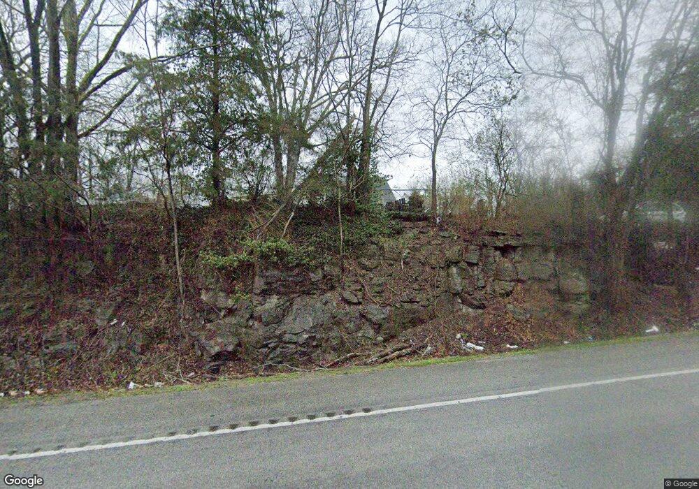
726 Lebanon Hwy Carthage, TN 37030
Estimated Value: $110,000 - $250,000
--
Bed
1
Bath
1,500
Sq Ft
$118/Sq Ft
Est. Value
About This Home
This home is located at 726 Lebanon Hwy, Carthage, TN 37030 and is currently estimated at $177,477, approximately $118 per square foot. 726 Lebanon Hwy is a home located in Smith County with nearby schools including Union Heights Elementary School, Smith County Middle School, and Smith County High School.
Ownership History
Date
Name
Owned For
Owner Type
Purchase Details
Closed on
Feb 11, 2003
Sold by
Davenport Charlie C and Davenport Betty
Bought by
Coker Jerry W
Current Estimated Value
Purchase Details
Closed on
Apr 19, 2002
Sold by
Reynolds Evelyn F
Bought by
Davenport Charlie C
Purchase Details
Closed on
Jan 14, 2000
Bought by
Evelyn Reynolds
Purchase Details
Closed on
Jan 28, 1994
Bought by
Reynolds Willie Clyde and Reynolds Evelyn Faye
Purchase Details
Closed on
Oct 20, 1993
Bought by
Chastain Fred A
Purchase Details
Closed on
Jan 25, 1973
Bought by
Bennett Cecil and Bennett Opel
Create a Home Valuation Report for This Property
The Home Valuation Report is an in-depth analysis detailing your home's value as well as a comparison with similar homes in the area
Home Values in the Area
Average Home Value in this Area
Purchase History
| Date | Buyer | Sale Price | Title Company |
|---|---|---|---|
| Coker Jerry W | $28,449 | -- | |
| Davenport Charlie C | $30,000 | -- | |
| Evelyn Reynolds | -- | -- | |
| Reynolds Willie Clyde | $10,000 | -- | |
| Chastain Fred A | $9,200 | -- | |
| Bennett Cecil | -- | -- |
Source: Public Records
Tax History Compared to Growth
Tax History
| Year | Tax Paid | Tax Assessment Tax Assessment Total Assessment is a certain percentage of the fair market value that is determined by local assessors to be the total taxable value of land and additions on the property. | Land | Improvement |
|---|---|---|---|---|
| 2024 | $434 | $25,025 | $6,150 | $18,875 |
| 2023 | $434 | $25,025 | $0 | $0 |
| 2022 | $405 | $23,350 | $6,150 | $17,200 |
| 2021 | $329 | $13,250 | $4,525 | $8,725 |
| 2020 | $362 | $13,250 | $4,525 | $8,725 |
| 2019 | $362 | $13,250 | $4,525 | $8,725 |
| 2018 | $284 | $13,250 | $4,525 | $8,725 |
| 2017 | $311 | $14,550 | $4,525 | $10,025 |
| 2016 | $246 | $10,600 | $3,050 | $7,550 |
| 2015 | $246 | $10,600 | $3,050 | $7,550 |
| 2014 | $246 | $10,600 | $3,050 | $7,550 |
Source: Public Records
Map
Nearby Homes
- 0 Whitefield Ln
- 97 Whitefield Ln
- 763 Lebanon Hwy
- 0 Rawls Creek Rd
- 142 Hiwassee Rd
- 6 Badger Ln
- 0 Badger Ln
- 14 Coomer Ln
- 121 Lock Seven Ln
- 0 Lovells Island Unit RTC2990756
- 0 Lovells Island Unit RTC2971031
- 0 Bob Moore Ln
- 27 Lock Seven Ln
- 42 Paradise Hills Ln
- 11 Blair Brothers Ln
- 424 Hiwassee Rd
- 7 Blair Brothers Ln
- 0 Swindell Hollow Rd
- 1416 Swindell Hollow Rd
- 2980 Swindell Hollow Rd
- 50 Volunteer Cir
- 48 Volunteer Cir
- 4 Johnson Ln
- 13 River Bridge Rd
- 1 Whitefield Ln
- 11 River Bridge Rd
- 6 River Bridge Rd
- 15 River Bridge Rd
- 7 River Bridge Rd
- 2 River Bridge Rd
- 6 Johnson Ln
- 3 River Bridge Rd
- 9 Whitefield Ln
- 8 Whitefield Ln
- 707 Lebanon Hwy
- 31 Volunteer Cir
- 31 Volunteer Cir
- 7 Whitefield Ln
- 26 Volunteer Cir
- 695 Rome Rd
