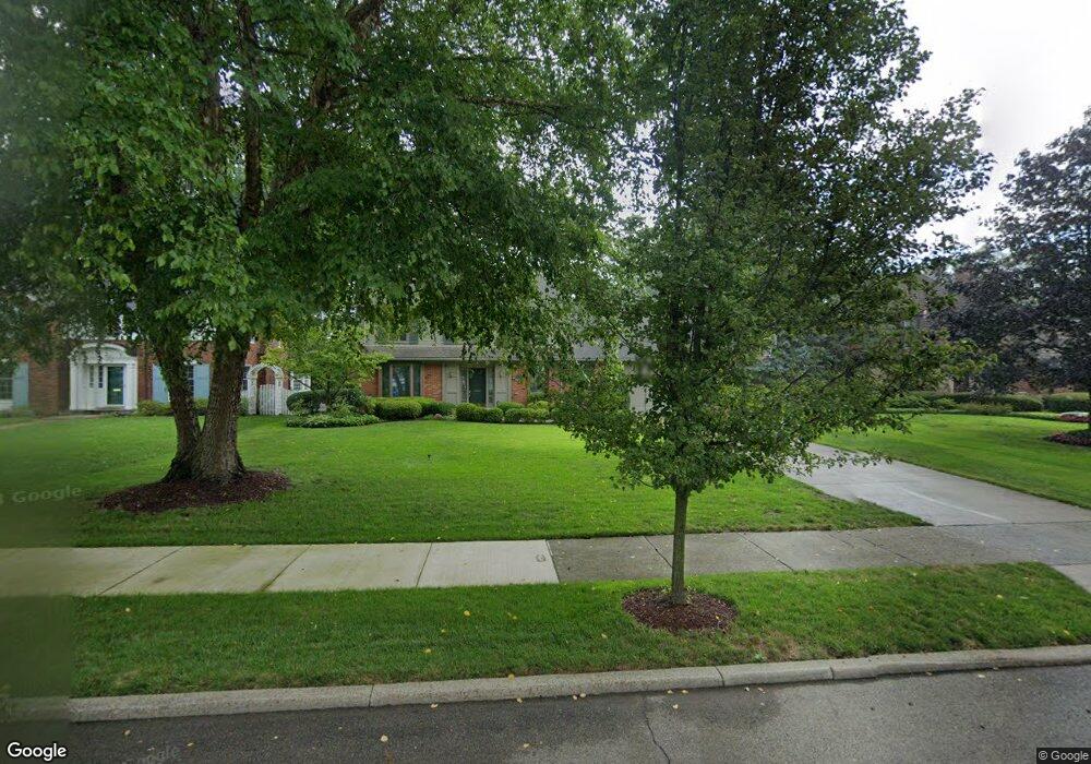
726 Middlesex Rd Grosse Pointe Park, MI 48230
Estimated Value: $605,292 - $768,000
4
Beds
3
Baths
2,600
Sq Ft
$274/Sq Ft
Est. Value
About This Home
This home is located at 726 Middlesex Rd, Grosse Pointe Park, MI 48230 and is currently estimated at $713,073, approximately $274 per square foot. 726 Middlesex Rd is a home located in Wayne County with nearby schools including Pierce Middle School, Grosse Pointe South High School, and Detroit Merit Charter Academy.
Ownership History
Date
Name
Owned For
Owner Type
Purchase Details
Closed on
Sep 6, 2006
Sold by
Prudential Relocation Inc
Bought by
Torlone Michael E
Current Estimated Value
Purchase Details
Closed on
Aug 23, 2006
Sold by
Harrison Clark A and Harrison Rosalie B
Bought by
Prudential Relocation Inc
Purchase Details
Closed on
Oct 18, 2002
Sold by
Decoster Michelle G
Bought by
Harrison Clark A
Purchase Details
Closed on
Oct 10, 2001
Sold by
Griem Agnes L
Bought by
Decoster Michelle S
Create a Home Valuation Report for This Property
The Home Valuation Report is an in-depth analysis detailing your home's value as well as a comparison with similar homes in the area
Home Values in the Area
Average Home Value in this Area
Purchase History
We collect this data history from publicly available records. To have your information removed, we recommend requesting removal directly through your county’s website.
| Date | Buyer | Sale Price | Title Company |
|---|---|---|---|
| Torlone Michael E | $367,500 | Fidelity National Title | |
| Prudential Relocation Inc | $532,500 | Fidelity National Title | |
| Harrison Clark A | $567,500 | -- | |
| Decoster Michelle S | $407,000 | -- |
Source: Public Records
Tax History
| Year | Tax Paid | Tax Assessment Tax Assessment Total Assessment is a certain percentage of the fair market value that is determined by local assessors to be the total taxable value of land and additions on the property. | Land | Improvement |
|---|---|---|---|---|
| 2025 | $5,339 | $281,700 | $0 | $0 |
| 2024 | $5,139 | $266,400 | $0 | $0 |
| 2023 | $4,908 | $257,100 | $0 | $0 |
| 2022 | $4,662 | $209,300 | $0 | $0 |
| 2021 | $9,194 | $196,700 | $0 | $0 |
| 2019 | $9,461 | $194,300 | $0 | $0 |
| 2018 | $4,446 | $171,900 | $0 | $0 |
| 2017 | $10,034 | $117,900 | $0 | $0 |
| 2016 | $9,393 | $186,900 | $0 | $0 |
| 2015 | $16,805 | $182,300 | $0 | $0 |
| 2013 | $16,280 | $167,800 | $0 | $0 |
| 2012 | $4,581 | $173,500 | $68,900 | $104,600 |
Source: Public Records
Map
Nearby Homes
- 764 Pemberton Rd
- 820 Westchester Rd
- 652 Pemberton Rd
- 784 Barrington Rd
- 580 Alter Rd
- 390 Ashland St
- 925 Nottingham Rd Unit 927
- 432 Manistique St
- 664 Ashland St
- 611 Ashland St
- 666 Ashland St
- 796 Harcourt Rd Unit 98
- 938 Lakepointe St
- 515 Barrington Rd
- 487 Philip St
- 644 Philip St
- 225 Ashland St
- 219 Ashland St
- 943 Harcourt Rd Unit 45
- 178 Ashland St
- 734 Middlesex Rd
- 718 Middlesex Rd
- 725 Westchester Rd
- 733 Westchester Rd
- 742 Middlesex Rd
- 717 Westchester Rd
- 741 Westchester Rd
- 710 Middlesex Rd
- 750 Middlesex Rd
- 709 Westchester Rd
- 749 Westchester Rd
- 706 Middlesex Rd
- 758 Middlesex Rd
- 705 Westchester Rd
- 757 Westchester Rd
- 725 Middlesex Rd
- 733 Middlesex Rd
- 766 Middlesex Rd
- 703 Westchester Rd
- 741 Middlesex Rd
Your Personal Tour Guide
Ask me questions while you tour the home.