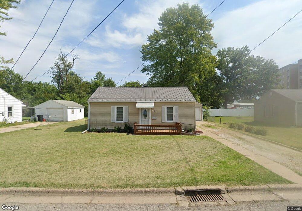
726 Pocahontas Ln Ottumwa, IA 52501
Estimated Value: $67,000 - $77,000
2
Beds
1
Bath
640
Sq Ft
$113/Sq Ft
Est. Value
About This Home
This home is located at 726 Pocahontas Ln, Ottumwa, IA 52501 and is currently estimated at $72,441, approximately $113 per square foot. 726 Pocahontas Ln is a home located in Wapello County with nearby schools including Liberty Elementary School, Douma Elementary School, and Evans Middle School.
Ownership History
Date
Name
Owned For
Owner Type
Purchase Details
Closed on
Mar 27, 2024
Sold by
Hodoly Jane P and Hodoly Michael Victor
Bought by
Michael V Hodoly And Jane Hodoly Protection T and Hodoly
Current Estimated Value
Purchase Details
Closed on
Oct 21, 2016
Sold by
Manary Delbert Lloyd and Manary Teresa
Bought by
Hodoly Michael and Hodoly Jane
Purchase Details
Closed on
Feb 25, 2014
Sold by
Manary Tilford S and Manary Marcella D
Bought by
Manary Delbert Lloyd
Create a Home Valuation Report for This Property
The Home Valuation Report is an in-depth analysis detailing your home's value as well as a comparison with similar homes in the area
Home Values in the Area
Average Home Value in this Area
Purchase History
| Date | Buyer | Sale Price | Title Company |
|---|---|---|---|
| Michael V Hodoly And Jane Hodoly Protection T | -- | None Listed On Document | |
| Hodoly Michael | $38,000 | Attorney | |
| Manary Delbert Lloyd | -- | None Available |
Source: Public Records
Tax History Compared to Growth
Tax History
| Year | Tax Paid | Tax Assessment Tax Assessment Total Assessment is a certain percentage of the fair market value that is determined by local assessors to be the total taxable value of land and additions on the property. | Land | Improvement |
|---|---|---|---|---|
| 2025 | $1,102 | $53,370 | $8,980 | $44,390 |
| 2024 | $1,102 | $50,830 | $8,980 | $41,850 |
| 2023 | $1,060 | $50,830 | $8,980 | $41,850 |
| 2022 | $1,064 | $44,330 | $8,980 | $35,350 |
| 2021 | $1,064 | $41,920 | $8,980 | $32,940 |
| 2020 | $1,042 | $40,500 | $8,980 | $31,520 |
| 2019 | $1,064 | $40,500 | $0 | $0 |
| 2018 | $1,032 | $40,500 | $0 | $0 |
| 2017 | $1,052 | $40,500 | $0 | $0 |
| 2016 | $978 | $39,153 | $0 | $0 |
| 2015 | $980 | $39,153 | $0 | $0 |
| 2014 | -- | $39,153 | $0 | $0 |
Source: Public Records
Map
Nearby Homes
- 1322 Mowrey Ave
- 448 Mckinley Ave
- 1409 Swanson Ave
- 1507 Mowrey Ave
- 1005 Hamilton St
- 1441 Casa Blanca Ln
- 1522 Greenwood Dr
- 1401 W Finley Ave
- 319 Hamilton St
- 433 W Finley Ave
- 1508 Hamilton St
- 1021 Overman Ave
- 1529 Swanson Ave
- 138 Minnesota St
- 1903 Mowrey Ave
- 1502 W Finley Ave
- 117 Lynwood Ave
- 439 Wildwood Dr
- 120 Shaul Ave
- 9 Kingsley Dr
- 730 Pocahontas Ln
- 722 Pocahontas Ln
- 725 Pocahontas Ln
- 734 Pocahontas Ln
- 729 Pocahontas Ln
- 719 Pocahontas Ln
- 717 Pocahontas Ln
- 733 Pocahontas Ln
- 738 Pocahontas Ln
- 911 Albia Rd
- 827 Albia Rd
- 716 Riverside Ln
- 737 Pocahontas Ln
- 720 Riverside Ln
- 913 Albia Rd
- 917 Albia Rd
- 724 Riverside Ln
- 742 Pocahontas Ln
- 741 Pocahontas Ln
- 728 Riverside Ln