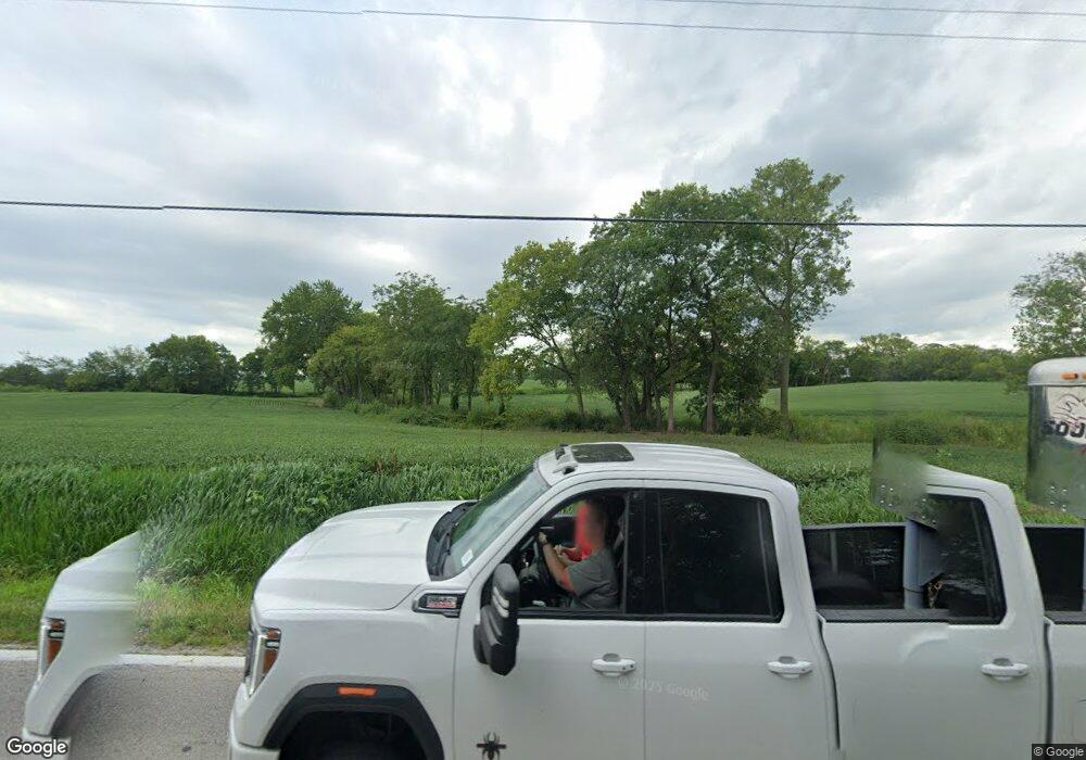
7265 State Route 762 Orient, OH 43146
Estimated Value: $665,323 - $766,000
--
Bed
--
Bath
--
Sq Ft
33.5
Acres
About This Home
This home is located at 7265 State Route 762, Orient, OH 43146 and is currently estimated at $715,662. 7265 State Route 762 is a home located in Pickaway County.
Ownership History
Date
Name
Owned For
Owner Type
Purchase Details
Closed on
Jun 14, 2023
Sold by
Gizmo Family Trust
Bought by
Keavin R Hill Revocable Trust
Current Estimated Value
Purchase Details
Closed on
Jun 7, 2023
Sold by
Brennan John M and Brennan Roberta A
Bought by
Keavin R Hill Revocable Trust
Purchase Details
Closed on
Aug 25, 2022
Sold by
Trust Of John M Brennan
Bought by
Brennan John M and Brennan Roberta A
Purchase Details
Closed on
Dec 18, 2015
Sold by
Thomas Edward and Thomas Eileen
Bought by
Gizmo Family Trust and Thomas Eileen M
Purchase Details
Closed on
Mar 19, 2008
Sold by
Brennan John and Brennan Roberta
Bought by
Brennan John M and Brennan Roberta A
Create a Home Valuation Report for This Property
The Home Valuation Report is an in-depth analysis detailing your home's value as well as a comparison with similar homes in the area
Home Values in the Area
Average Home Value in this Area
Purchase History
| Date | Buyer | Sale Price | Title Company |
|---|---|---|---|
| Keavin R Hill Revocable Trust | -- | Valmer Land Title | |
| Keavin R Hill Revocable Trust | $600,000 | Valmer Land Title | |
| Brennan John M | $166 | -- | |
| Gizmo Family Trust | -- | Attorney | |
| Brennan John M | -- | Attorney |
Source: Public Records
Tax History Compared to Growth
Tax History
| Year | Tax Paid | Tax Assessment Tax Assessment Total Assessment is a certain percentage of the fair market value that is determined by local assessors to be the total taxable value of land and additions on the property. | Land | Improvement |
|---|---|---|---|---|
| 2024 | -- | $97,190 | $97,060 | $130 |
| 2023 | $1,445 | $97,190 | $97,060 | $130 |
| 2022 | $934 | $80,190 | $80,050 | $140 |
| 2021 | $936 | $80,190 | $80,050 | $140 |
| 2020 | $937 | $80,190 | $80,050 | $140 |
| 2019 | $648 | $73,440 | $73,260 | $180 |
| 2018 | $1,197 | $73,440 | $73,260 | $180 |
| 2017 | $1,570 | $73,440 | $73,260 | $180 |
| 2016 | $1,507 | $62,520 | $62,360 | $160 |
| 2015 | $754 | $62,520 | $62,360 | $160 |
| 2014 | $1,510 | $62,520 | $62,360 | $160 |
| 2013 | $937 | $53,430 | $53,220 | $210 |
Source: Public Records
Map
Nearby Homes
- 182 Honey Locust Ln
- 11044 Coontz Rd
- 161 Chestnut Estates Dr
- 186 Red Oak Ct
- 56 Chambers Bay Rd
- 294 Shady Hollow Dr
- 47 Front St
- 169 Chestnut Commons Dr
- 166 Rosewood Loop SE
- 7789 State Route 762
- 62 Genoa Cir
- 66 Genoa Cir
- 55 Genoa Cir
- 45 Genoa Cir
- 310 Genoa Rd
- The Siebert Plan at Genoa Crossing
- The Hollandia B Plan at Genoa Crossing
- The Rainier Plan at Genoa Crossing
- The Petoskey Plan at Genoa Crossing
- 49 Front St
- 7071 State Route 762
- 5490 State Route 762
- 134 Cottonwood Place
- 11086 Coontz Rd
- 136 Cottonwood Place
- 173 Honey Locust Ln
- 138 Cottonwood Place
- 169 Honey Locust Ln Unit 169
- 7140 State Route 762
- 171 Honey Locust Ln
- 7337 State Route 762
- 175 Honey Locust Ln
- 6991 State Route 762
- 11200 Coontz Rd
- 140 Cottonwood Place
- 177 Honey Locust Ln
- 179 Honey Locust Ln Unit 174
- 7361 State Route 762
- 143 Cottonwood Place
- 142 Cottonwood Place
