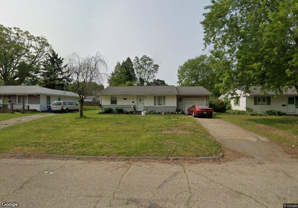
727 Andrus St Battle Creek, MI 49015
Central Battle Creek NeighborhoodEstimated Value: $151,233 - $176,000
2
Beds
1
Bath
1,063
Sq Ft
$154/Sq Ft
Est. Value
About This Home
This home is located at 727 Andrus St, Battle Creek, MI 49015 and is currently estimated at $164,058, approximately $154 per square foot. 727 Andrus St is a home located in Calhoun County with nearby schools including Lakeview Middle School, Lakeview High School, and Battle Creek Montessori Academy.
Ownership History
Date
Name
Owned For
Owner Type
Purchase Details
Closed on
Nov 7, 2006
Sold by
Bernard Rebecca E
Bought by
Mcdonald Gregory P and Bernard Rebecca E
Current Estimated Value
Home Financials for this Owner
Home Financials are based on the most recent Mortgage that was taken out on this home.
Original Mortgage
$83,200
Outstanding Balance
$49,765
Interest Rate
6.41%
Mortgage Type
Unknown
Estimated Equity
$114,293
Purchase Details
Closed on
Jun 15, 1999
Bought by
Bernard
Create a Home Valuation Report for This Property
The Home Valuation Report is an in-depth analysis detailing your home's value as well as a comparison with similar homes in the area
Home Values in the Area
Average Home Value in this Area
Purchase History
| Date | Buyer | Sale Price | Title Company |
|---|---|---|---|
| Mcdonald Gregory P | -- | Precision Title & Escrow Age | |
| Bernard | $58,000 | -- |
Source: Public Records
Mortgage History
| Date | Status | Borrower | Loan Amount |
|---|---|---|---|
| Open | Mcdonald Gregory P | $83,200 |
Source: Public Records
Tax History Compared to Growth
Tax History
| Year | Tax Paid | Tax Assessment Tax Assessment Total Assessment is a certain percentage of the fair market value that is determined by local assessors to be the total taxable value of land and additions on the property. | Land | Improvement |
|---|---|---|---|---|
| 2025 | -- | $69,100 | $0 | $0 |
| 2024 | $1,242 | $64,277 | $0 | $0 |
| 2023 | $1,414 | $56,537 | $0 | $0 |
| 2022 | $1,122 | $49,684 | $0 | $0 |
| 2021 | $1,377 | $47,165 | $0 | $0 |
| 2020 | $1,296 | $43,186 | $0 | $0 |
| 2019 | $1,290 | $36,605 | $0 | $0 |
| 2018 | $1,290 | $34,018 | $2,751 | $31,267 |
| 2017 | $1,251 | $31,146 | $0 | $0 |
| 2016 | $1,249 | $30,108 | $0 | $0 |
| 2015 | $1,162 | $27,799 | $2,620 | $25,179 |
| 2014 | $1,162 | $25,980 | $2,620 | $23,360 |
Source: Public Records
Map
Nearby Homes
- 715 Ingram St
- 760 Goguac St W
- 149 Cameron Dr
- 132 22nd St N
- 49 N La Vista Blvd
- 36 21st St N
- 150 23rd St N
- 256 Burr St
- 17 20th St N
- 38 22nd St N
- 387 Goguac St W
- 19 Ridge St
- 893 W Territorial Rd
- 294 20th St N
- 349 Goguac St W
- 890 Fairfield Ave
- 236 Burnham St W
- 317 Catera Ct
- 1243 Territorial Rd W
- 155 Kirkwood Ave