727 Apache Trail Florissant, CO 80816
Estimated Value: $591,000 - $605,654
2
Beds
1
Bath
1,792
Sq Ft
$334/Sq Ft
Est. Value
About This Home
This home is located at 727 Apache Trail, Florissant, CO 80816 and is currently estimated at $598,218, approximately $333 per square foot. 727 Apache Trail is a home with nearby schools including Cresson Elementary School and Cripple Creek-Victor Junior/Senior High School.
Ownership History
Date
Name
Owned For
Owner Type
Purchase Details
Closed on
Dec 5, 2012
Sold by
Mcclintock Mark W
Bought by
Salamon Mark E and Salamon Gina R
Current Estimated Value
Purchase Details
Closed on
Nov 15, 2010
Sold by
Mcclintock Denise M
Bought by
Mcclintock Mark W
Purchase Details
Closed on
Jan 30, 2007
Sold by
Manchester Alison
Bought by
Mcclintock Mark W and Mcclintock Denise M
Home Financials for this Owner
Home Financials are based on the most recent Mortgage that was taken out on this home.
Original Mortgage
$30,000
Interest Rate
9.25%
Mortgage Type
Purchase Money Mortgage
Create a Home Valuation Report for This Property
The Home Valuation Report is an in-depth analysis detailing your home's value as well as a comparison with similar homes in the area
Home Values in the Area
Average Home Value in this Area
Purchase History
| Date | Buyer | Sale Price | Title Company |
|---|---|---|---|
| Salamon Mark E | $28,000 | Empire Title Co Springs Llc | |
| Mcclintock Mark W | -- | None Available | |
| Mcclintock Mark W | $52,500 | Security Title |
Source: Public Records
Mortgage History
| Date | Status | Borrower | Loan Amount |
|---|---|---|---|
| Previous Owner | Mcclintock Mark W | $30,000 |
Source: Public Records
Tax History Compared to Growth
Tax History
| Year | Tax Paid | Tax Assessment Tax Assessment Total Assessment is a certain percentage of the fair market value that is determined by local assessors to be the total taxable value of land and additions on the property. | Land | Improvement |
|---|---|---|---|---|
| 2024 | $1,463 | $34,550 | $5,126 | $29,424 |
| 2023 | $1,463 | $34,550 | $5,130 | $29,420 |
| 2022 | $1,380 | $31,690 | $3,340 | $28,350 |
| 2021 | $1,427 | $32,610 | $3,440 | $29,170 |
| 2020 | $859 | $22,300 | $4,410 | $17,890 |
| 2019 | $458 | $11,970 | $0 | $0 |
| 2018 | $329 | $7,950 | $0 | $0 |
| 2017 | $328 | $7,950 | $0 | $0 |
| 2016 | $425 | $10,070 | $0 | $0 |
| 2015 | $433 | $10,070 | $0 | $0 |
| 2014 | $331 | $7,840 | $0 | $0 |
Source: Public Records
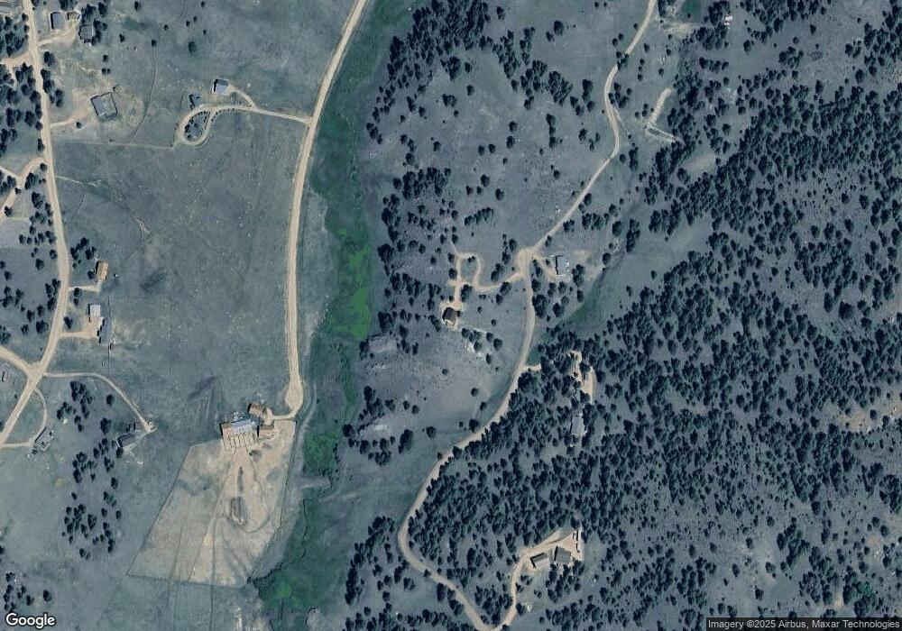
Map
Nearby Homes
- 1058 Hackamore Dr
- 121 Cheyenne Way
- 295 Surrey Ln
- 247 Deerfield Cir
- 37 Surrey Ln
- 205 Deerfield Cir
- 280 Highland Meadows Dr
- 277 Deerfield Cir
- 115 White Tail Ln
- 2602 Southpark Rd
- 2628 Southpark Rd
- 654 High Pasture Rd
- 2111 Southpark Rd
- 567 High Pasture Rd
- 28 Pinnacle Cir
- 286 Alpine Dr
- 186 Alpine Dr
- 56 Dallas Park Cir
- 0 Tbd County Road 12
- 700 Apache Trail
- 648 Apache Trail
- 903 Apache Trail
- 490 Apache Trail
- 598 Forge Dr
- 552 Hackamore Dr
- 506 Hackamore Dr
- 598 Hackamore Dr
- 436 Apache Trail
- 146 Apache Trail
- 690 Hackamore Dr
- 690 Hackamore Dr Unit 92
- 418 Hackamore Dr
- 828 Hackamore Dr
- 736 Hackamore Dr
- 635 Hackamore Dr
- 782 Hackamore Dr
- 351 Apache Trail
- 372 Hackamore Dr
- 44 Stirrup Cir