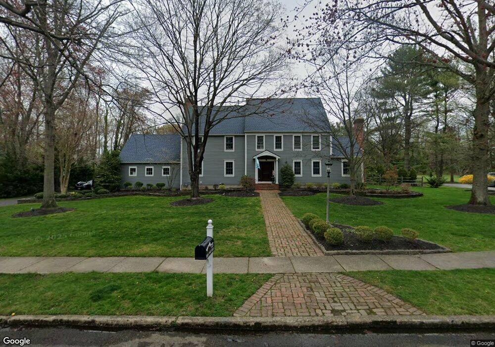
727 Iron Post Rd Moorestown, NJ 08057
Estimated Value: $1,244,840 - $1,543,000
--
Bed
--
Bath
3,978
Sq Ft
$340/Sq Ft
Est. Value
About This Home
This home is located at 727 Iron Post Rd, Moorestown, NJ 08057 and is currently estimated at $1,354,280, approximately $340 per square foot. 727 Iron Post Rd is a home located in Burlington County with nearby schools including George C. Baker Elementary School, Moorestown Upper Elementary School, and William Allen Middle School.
Ownership History
Date
Name
Owned For
Owner Type
Purchase Details
Closed on
Oct 31, 2003
Sold by
Zanger John F and Zanger Bonniwell C
Bought by
Coleman Thomas J and Coleman Nancy B
Current Estimated Value
Home Financials for this Owner
Home Financials are based on the most recent Mortgage that was taken out on this home.
Original Mortgage
$360,000
Outstanding Balance
$154,642
Interest Rate
4.95%
Mortgage Type
Purchase Money Mortgage
Estimated Equity
$1,199,638
Create a Home Valuation Report for This Property
The Home Valuation Report is an in-depth analysis detailing your home's value as well as a comparison with similar homes in the area
Home Values in the Area
Average Home Value in this Area
Purchase History
| Date | Buyer | Sale Price | Title Company |
|---|---|---|---|
| Coleman Thomas J | $720,000 | -- |
Source: Public Records
Mortgage History
| Date | Status | Borrower | Loan Amount |
|---|---|---|---|
| Open | Coleman Thomas J | $360,000 |
Source: Public Records
Tax History Compared to Growth
Tax History
| Year | Tax Paid | Tax Assessment Tax Assessment Total Assessment is a certain percentage of the fair market value that is determined by local assessors to be the total taxable value of land and additions on the property. | Land | Improvement |
|---|---|---|---|---|
| 2025 | $22,290 | $785,700 | $312,900 | $472,800 |
| 2024 | $21,615 | $785,700 | $312,900 | $472,800 |
| 2023 | $21,615 | $785,700 | $312,900 | $472,800 |
| 2022 | $21,395 | $785,700 | $312,900 | $472,800 |
| 2021 | $20,762 | $772,700 | $0 | $0 |
| 2020 | $7,631 | $772,700 | $0 | $0 |
| 2019 | $7,268 | $785,700 | $312,900 | $472,800 |
| 2018 | $6,719 | $785,700 | $312,900 | $472,800 |
| 2017 | $19,889 | $785,700 | $312,900 | $472,800 |
| 2016 | $19,253 | $775,200 | $312,900 | $462,300 |
| 2015 | $19,020 | $775,200 | $312,900 | $462,300 |
| 2014 | $18,059 | $750,400 | $312,900 | $437,500 |
Source: Public Records
Map
Nearby Homes
- 508 Bartram Rd
- 512 Bartram Rd
- 723 Iron Post Rd
- 520 Bartram Rd
- 516 Bartram Rd
- 728 Iron Post Rd
- 504 Bartram Rd
- 719 Iron Post Rd
- 4 Bartram Ct
- 724 Iron Post Rd
- 524 Bartram Rd
- 505 Bartram Rd
- 35 Middleton Rd
- 39 Middleton Rd
- 503 Bartram Rd
- 500 Bartram Rd
- 715 Iron Post Rd
- 1 Bartram Ct
- 720 Iron Post Rd
- 521 Bartram Rd