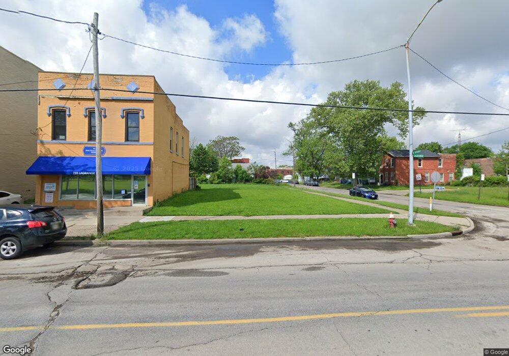
727 Lagrange St Toledo, OH 43604
Lagrange NeighborhoodEstimated Value: $237,000
Studio
2
Baths
--
Sq Ft
--
Built
About This Home
This home is located at 727 Lagrange St, Toledo, OH 43604 and is currently estimated at $237,000. 727 Lagrange St is a home located in Lucas County with nearby schools including Sherman Elementary School, Woodward High School, and The Maritime Academy of Toledo.
Ownership History
Date
Name
Owned For
Owner Type
Purchase Details
Closed on
Jul 29, 2025
Sold by
Vistula Management Company
Bought by
Richmond Capital Llc
Current Estimated Value
Purchase Details
Closed on
Oct 16, 2019
Sold by
United North Corporation
Bought by
Vistula Management Company
Purchase Details
Closed on
Oct 31, 2011
Sold by
Lucas County Land Reutilization Corp
Bought by
United North Corporation
Purchase Details
Closed on
Oct 19, 2011
Sold by
Cassidy John F
Bought by
Lucas County Land Reutilization Corp
Purchase Details
Closed on
Nov 30, 2006
Sold by
Ferguson Edrick and Buford April I
Bought by
Cassidy John F
Purchase Details
Closed on
Dec 14, 2004
Sold by
Sadowy Edward
Bought by
Ferguson Edrick
Purchase Details
Closed on
Nov 12, 1992
Sold by
Pryba Jean Irene
Create a Home Valuation Report for This Property
The Home Valuation Report is an in-depth analysis detailing your home's value as well as a comparison with similar homes in the area
Home Values in the Area
Average Home Value in this Area
Purchase History
| Date | Buyer | Sale Price | Title Company |
|---|---|---|---|
| Richmond Capital Llc | $45,000 | None Listed On Document | |
| Vistula Management Company | $15,000 | None Available | |
| United North Corporation | -- | Attorney | |
| Lucas County Land Reutilization Corp | -- | None Available | |
| Cassidy John F | $5,000 | Attorney | |
| Ferguson Edrick | $5,000 | -- | |
| -- | $5,500 | -- |
Source: Public Records
Tax History
| Year | Tax Paid | Tax Assessment Tax Assessment Total Assessment is a certain percentage of the fair market value that is determined by local assessors to be the total taxable value of land and additions on the property. | Land | Improvement |
|---|---|---|---|---|
| 2025 | -- | $1,715 | $1,715 | -- |
| 2024 | $155 | $1,715 | $1,715 | -- |
| 2023 | $214 | $175 | $175 | $0 |
| 2022 | $219 | $175 | $175 | $0 |
| 2021 | $208 | $175 | $175 | $0 |
| 2020 | $452 | $105 | $105 | $0 |
| 2019 | $218 | $105 | $105 | $0 |
| 2018 | $279 | $105 | $105 | $0 |
| 2017 | $723 | $105 | $105 | $0 |
| 2016 | $505 | $3,100 | $3,100 | $0 |
| 2015 | $325 | $3,100 | $3,100 | $0 |
| 2014 | $70 | $1,090 | $1,090 | $0 |
| 2013 | $70 | $1,090 | $1,090 | $0 |
Source: Public Records
Map
Nearby Homes
- 1224 N Michigan St
- 1238 N Ontario St
- 1114 N Superior St
- 1330 N Huron St
- 1409 N Huron St
- 811 Bush St
- 1106 Page St
- 1335 Peck St
- 207 E Bancroft St
- 1418 Yates St
- 1441 Yates St
- 414 Palmer St
- 328 Palmer St
- 1307 Noble St
- 333 Palmer St
- 238 Palmer St
- 543 Austin St
- 136 Steel St
- 150 E Broadway St
- 127 W Bancroft St
- 725 Lagrange St
- 932 N Ontario St
- 930 N Ontario St
- 928 N Ontario St
- 937 N Ontario St
- 922 N Ontario St
- 805 Lagrange St
- 807 Lagrange St
- 927 N Ontario St
- 916 N Ontario St
- 925 N Ontario St
- 709 Lagrange St
- 809 Lagrange St
- 921 N Ontario St
- 915 N Ontario St
- 913 N Ontario St
- 814 Lagrange St
- 911 N Ontario St
- 907 N Ontario St
- 730 Locust St
Your Personal Tour Guide
Ask me questions while you tour the home.