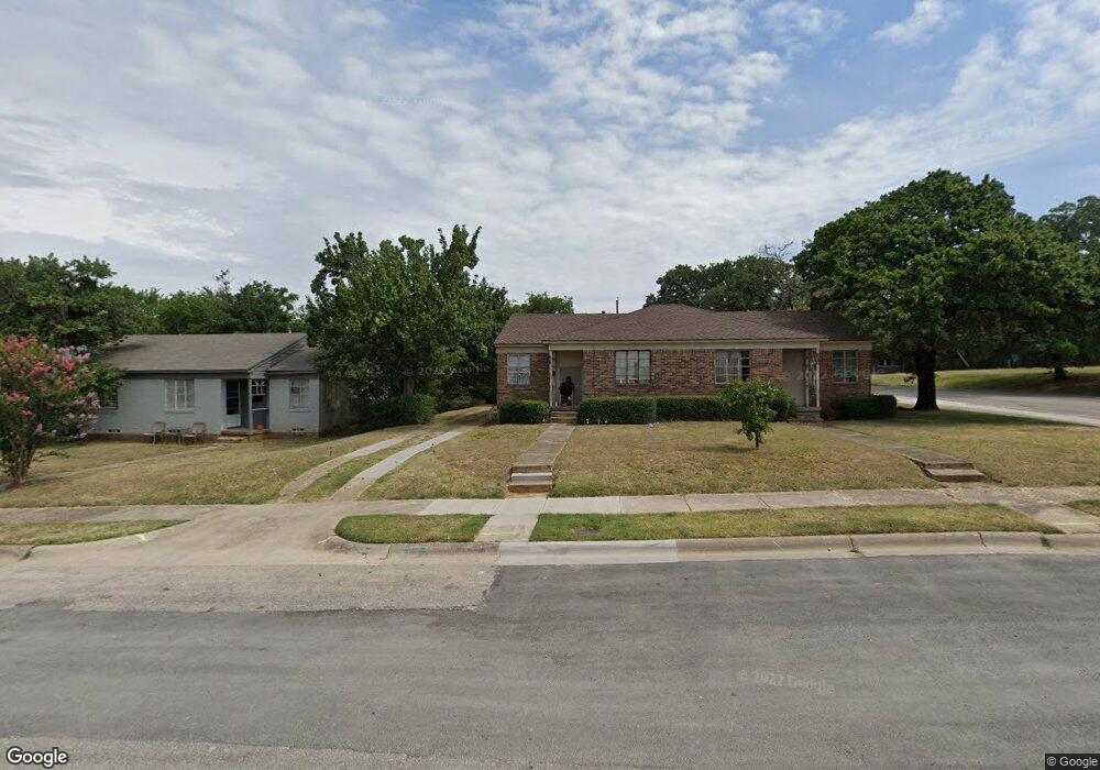
727 Woodland St Unit 729 Denton, TX 76209
Idiot's Hill NeighborhoodEstimated Value: $225,401 - $364,000
--
Bed
--
Bath
1,246
Sq Ft
$236/Sq Ft
Est. Value
About This Home
This home is located at 727 Woodland St Unit 729, Denton, TX 76209 and is currently estimated at $294,100, approximately $236 per square foot. 727 Woodland St Unit 729 is a home located in Denton County with nearby schools including Nette Shultz Elementary School, Strickland Middle School, and Billy Ryan High School.
Ownership History
Date
Name
Owned For
Owner Type
Purchase Details
Closed on
Aug 30, 1993
Sold by
Chamberlain Alan Ray and Jenkins Vincent E
Bought by
Carpenter John
Current Estimated Value
Home Financials for this Owner
Home Financials are based on the most recent Mortgage that was taken out on this home.
Original Mortgage
$40,000
Interest Rate
7.23%
Mortgage Type
Seller Take Back
Create a Home Valuation Report for This Property
The Home Valuation Report is an in-depth analysis detailing your home's value as well as a comparison with similar homes in the area
Home Values in the Area
Average Home Value in this Area
Purchase History
| Date | Buyer | Sale Price | Title Company |
|---|---|---|---|
| Carpenter John | -- | -- |
Source: Public Records
Mortgage History
| Date | Status | Borrower | Loan Amount |
|---|---|---|---|
| Closed | Carpenter John | $40,000 | |
| Closed | Carpenter John | $8,900 |
Source: Public Records
Tax History Compared to Growth
Tax History
| Year | Tax Paid | Tax Assessment Tax Assessment Total Assessment is a certain percentage of the fair market value that is determined by local assessors to be the total taxable value of land and additions on the property. | Land | Improvement |
|---|---|---|---|---|
| 2025 | $3,326 | $180,172 | $54,468 | $125,704 |
| 2024 | $3,326 | $172,338 | $54,468 | $117,870 |
| 2023 | $3,482 | $182,355 | $54,468 | $127,887 |
| 2022 | $3,581 | $168,706 | $54,468 | $114,238 |
| 2021 | $2,531 | $113,839 | $34,043 | $79,796 |
| 2020 | $2,630 | $115,075 | $34,043 | $81,032 |
| 2019 | $2,625 | $110,000 | $34,043 | $75,957 |
| 2018 | $1,865 | $77,214 | $30,638 | $46,576 |
| 2017 | $1,729 | $69,950 | $22,128 | $47,822 |
| 2016 | $1,835 | $74,248 | $22,128 | $52,120 |
| 2015 | -- | $72,135 | $22,667 | $49,468 |
| 2014 | -- | $76,333 | $25,689 | $50,644 |
| 2013 | -- | $78,000 | $25,689 | $52,311 |
Source: Public Records
Map
Nearby Homes
- 2002 Cherrywood Ln
- 633 Woodland St
- 1600 N Ruddell St
- 1302 Greenwood Dr
- 1425 Mingo Rd
- 1506 Seminole Ave
- 000 Fm 426
- 2010 N Locust St
- 2712 Winchester Ct
- 2603 Sherwood St
- 2012 N Locust St
- 1420 Mistywood Ln
- 1705 Boyd St
- 605 Cordova Cir
- 810 N Locust St
- 2425 N Locust St
- 1503 Oakland St Unit 7
- 1717 N Locust St
- 2207 N Elm St
- 1714 Tyler St
- 723 Woodland St Unit 725
- 730 Roberts St Unit 732
- 719 Woodland St Unit 721
- 726 Roberts St
- 721 Woodland St
- 715 Woodland St
- 722 Roberts St Unit 7
- 718 Roberts St Unit 720
- 2003 Cherrywood Ln
- 713 Woodland St
- 714 Roberts St Unit 716
- 2009 Cherrywood Ln
- 2008 Cherrywood Ln
- 707 Woodland St Unit 709
- 709 Woodland St
- 710 Roberts St Unit 712
- 717 Roberts St
- 2015 Cherrywood Ln
- 2005 Northwood Terrace
- 2014 Cherrywood Ln