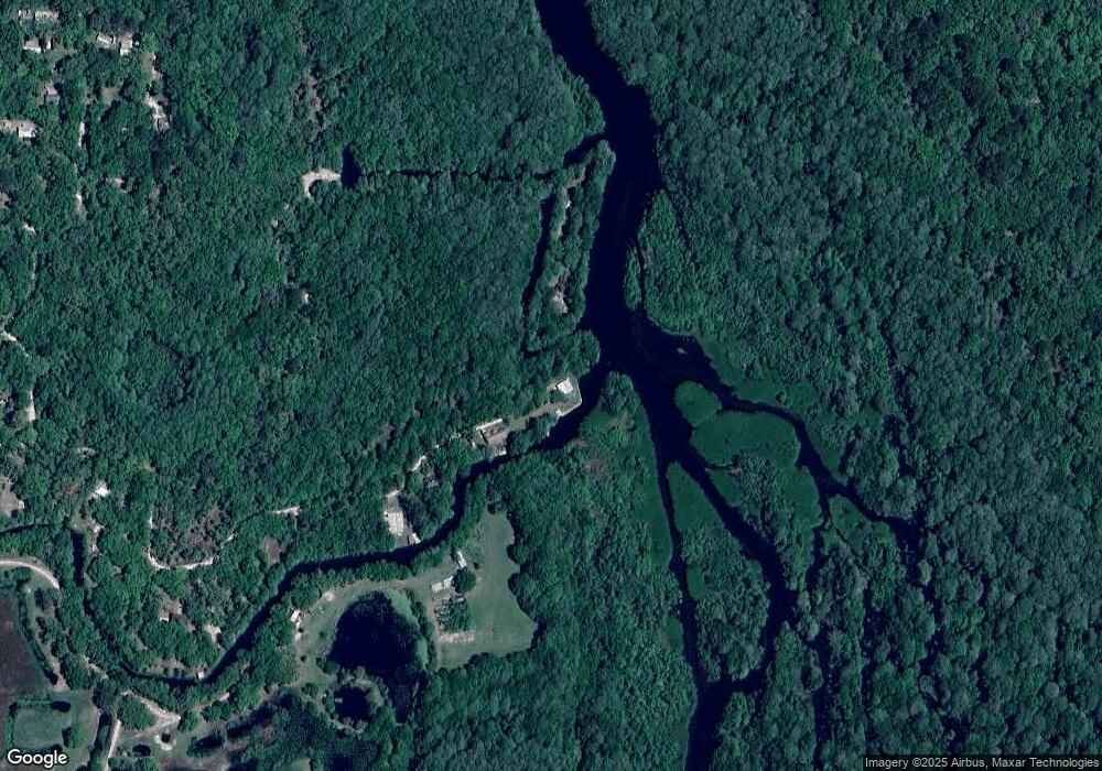
7271 E Channel Dr Hernando, FL 34442
Estimated Value: $180,992 - $233,000
2
Beds
2
Baths
1,472
Sq Ft
$141/Sq Ft
Est. Value
About This Home
This home is located at 7271 E Channel Dr, Hernando, FL 34442 and is currently estimated at $206,996, approximately $140 per square foot. 7271 E Channel Dr is a home located in Citrus County with nearby schools including Central Ridge Elementary School, Citrus Springs Middle School, and Citrus High School.
Ownership History
Date
Name
Owned For
Owner Type
Purchase Details
Closed on
Apr 1, 2017
Sold by
Wallace Donald E and Wallace Kimberly L
Bought by
Aj Liquori Properties Llc
Current Estimated Value
Purchase Details
Closed on
Dec 17, 2014
Sold by
Council Judith
Bought by
Wallace Donald E and Wallace Kimberly L
Purchase Details
Closed on
Dec 27, 2001
Sold by
Lane Shirleye
Bought by
Council Judith
Home Financials for this Owner
Home Financials are based on the most recent Mortgage that was taken out on this home.
Original Mortgage
$103,900
Interest Rate
6.99%
Mortgage Type
Purchase Money Mortgage
Purchase Details
Closed on
Sep 1, 1976
Bought by
Wallace Donald E and Wallace Kimberly L
Create a Home Valuation Report for This Property
The Home Valuation Report is an in-depth analysis detailing your home's value as well as a comparison with similar homes in the area
Home Values in the Area
Average Home Value in this Area
Purchase History
| Date | Buyer | Sale Price | Title Company |
|---|---|---|---|
| Aj Liquori Properties Llc | $100,000 | Firm Title Corp | |
| Wallace Donald E | $135,000 | Firm Title Corporation | |
| Council Judith | $129,900 | First American Title Ins Co | |
| Wallace Donald E | $35,000 | -- |
Source: Public Records
Mortgage History
| Date | Status | Borrower | Loan Amount |
|---|---|---|---|
| Previous Owner | Council Judith | $103,900 | |
| Closed | Aj Liquori Properties Llc | $0 |
Source: Public Records
Tax History Compared to Growth
Tax History
| Year | Tax Paid | Tax Assessment Tax Assessment Total Assessment is a certain percentage of the fair market value that is determined by local assessors to be the total taxable value of land and additions on the property. | Land | Improvement |
|---|---|---|---|---|
| 2025 | $1,289 | $94,610 | $52,500 | $42,110 |
| 2024 | $1,185 | $84,260 | $44,100 | $40,160 |
| 2023 | $1,185 | $76,330 | $40,160 | $36,170 |
| 2022 | $1,145 | $76,500 | $40,160 | $36,340 |
| 2021 | $1,100 | $74,190 | $40,160 | $34,030 |
| 2020 | $1,019 | $69,860 | $40,160 | $29,700 |
| 2019 | $1,037 | $70,070 | $40,160 | $29,910 |
| 2018 | $1,060 | $70,110 | $40,160 | $29,950 |
| 2017 | $945 | $61,090 | $39,470 | $21,620 |
| 2016 | $1,821 | $108,670 | $39,470 | $69,200 |
| 2015 | $1,726 | $100,440 | $38,180 | $62,260 |
| 2014 | $1,825 | $102,820 | $40,312 | $62,508 |
Source: Public Records
Map
Nearby Homes
- 7024 E Channel Dr
- 6970 E Totem Ct
- 6960 E Totem Ct
- 6929 E Totem Ct
- 6915 E Totem Ct
- 6455 E Sioux Canal Dr
- 6970 N Palm Oak Dr
- 6252 E River Rd
- 7051 N Nature Trail
- 5711 E Squaw Ct
- 5763 E River Rd
- 6405 N Tamarind Ave
- 6589 N Sourgum Terrace
- 6363 N Sourgum Terrace
- 6384 N Sourgum Terrace
- 6610 N Shorewood Dr
- 15277 SW 105th Ave
- 0 SW 157 Ln Unit MFROM703836
- 0 SW 157th Ln Unit MFROM691797
- 0 SW 157th Ln Unit MFROM691824
- 7230 E Channel Dr
- 70267044 E Channel Dr
- 7270 E Basin Ct
- 7215 E Channel Dr
- 7190 E Channel Dr
- 7043 E Channel Dr
- 7174 E Channel Dr
- 7091 E Basin Ct
- 7107 E Basin Ct
- 7482 E Munoz Ct
- 7060 E Channel Dr
- 7026 E Basin Ct
- 7014 E Channel Dr
- 6991 E Channel Dr
- 7030 E Munoz Ct
- 7193 N Toosie Point
- 7018 E Munoz Ct
- 7026 E Munoz Ct
- 7085 N Mound Dr
- 6946 E Channel Dr
