7274 N Scott Rd Saint Johns, MI 48879
Estimated Value: $223,793 - $258,000
--
Bed
1
Bath
960
Sq Ft
$252/Sq Ft
Est. Value
About This Home
This home is located at 7274 N Scott Rd, Saint Johns, MI 48879 and is currently estimated at $241,698, approximately $251 per square foot. 7274 N Scott Rd is a home located in Clinton County with nearby schools including St. Johns High School.
Ownership History
Date
Name
Owned For
Owner Type
Purchase Details
Closed on
Nov 17, 2021
Sold by
Pettigrew Betty Lou and Pettigrew Robert Gene
Bought by
Clark Randi
Current Estimated Value
Purchase Details
Closed on
Apr 5, 2011
Sold by
Pettigrew Betty Lou and Pettigrew Robert Gene
Bought by
Pettigrew Betty Lou and Pettigrew Robert Gene
Purchase Details
Closed on
Jan 22, 2010
Sold by
Pettigrew Betty Lou
Bought by
Pettigrew Betty Lou and Pettigrew Robert Gene
Purchase Details
Closed on
May 19, 2008
Sold by
Pettigrew Betty Lou and Pettigrew Gilbert G
Bought by
Pettigrew Betty Lou
Create a Home Valuation Report for This Property
The Home Valuation Report is an in-depth analysis detailing your home's value as well as a comparison with similar homes in the area
Home Values in the Area
Average Home Value in this Area
Purchase History
| Date | Buyer | Sale Price | Title Company |
|---|---|---|---|
| Clark Randi | $160,000 | None Available | |
| Pettigrew Betty Lou | -- | None Available | |
| Pettigrew Betty Lou | -- | None Available | |
| Pettigrew Betty Lou | -- | First American Title Ins Co |
Source: Public Records
Tax History Compared to Growth
Tax History
| Year | Tax Paid | Tax Assessment Tax Assessment Total Assessment is a certain percentage of the fair market value that is determined by local assessors to be the total taxable value of land and additions on the property. | Land | Improvement |
|---|---|---|---|---|
| 2025 | $2,468 | $107,600 | $45,700 | $61,900 |
| 2024 | $1,036 | $91,800 | $32,800 | $59,000 |
| 2023 | $981 | $84,400 | $0 | $0 |
| 2022 | $3,651 | $78,900 | $29,000 | $49,900 |
| 2021 | $1,801 | $75,200 | $27,800 | $47,400 |
| 2020 | $1,684 | $65,200 | $22,500 | $42,700 |
| 2019 | $1,540 | $62,100 | $22,400 | $39,700 |
| 2018 | $1,598 | $62,300 | $22,400 | $39,900 |
| 2017 | $1,488 | $62,100 | $22,400 | $39,700 |
| 2016 | $1,475 | $60,700 | $22,400 | $38,300 |
| 2015 | -- | $61,000 | $0 | $0 |
| 2011 | -- | $70,400 | $0 | $0 |
Source: Public Records
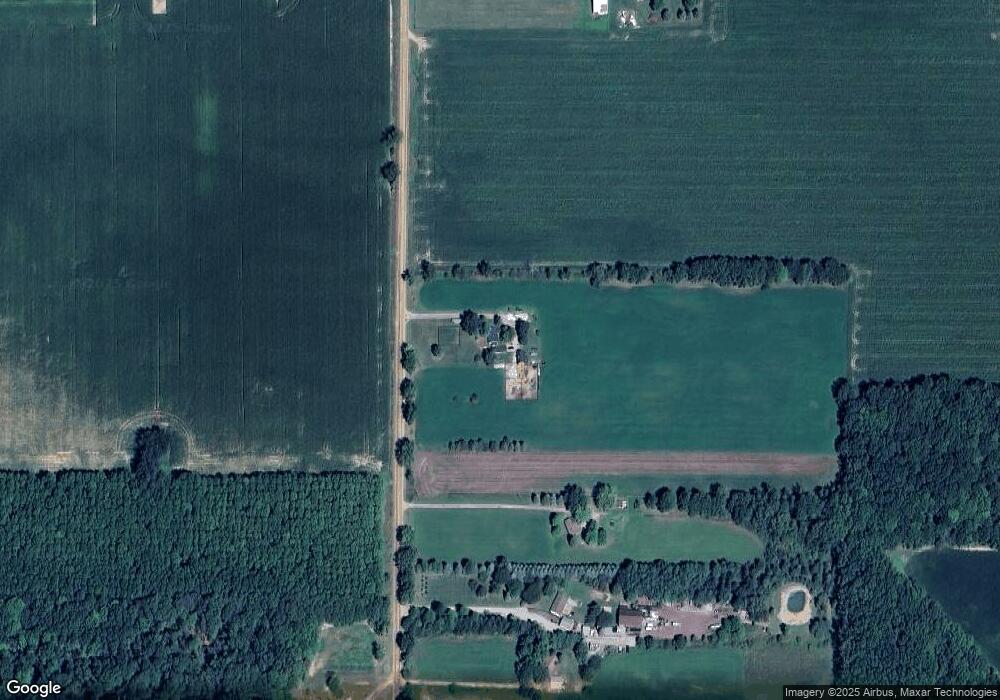
Map
Nearby Homes
- 1423 W Hyde Rd
- 7984 N Williams Rd
- 7902 N Welling Rd
- 4063 N Williams Rd
- 1630 W Kinley Rd
- 2920 Boulder Creek Dr
- 2866 Trillium Creek Way
- 2875 Trillium Creek Way
- 2848 Trillium Creek Way
- 2851 Trillium Creek Way
- 2843 Trillium Creek Way
- 2844 Trillium Creek Way
- 0 W Colony Unit 286993
- 0 W Colony Unit 292916
- 5550 Paxton Rd
- 810 Joyce Ln
- 808 Joyce Ln Unit 14
- 808 Joyce Ln
- 810 Joyce Ln Unit 13
- 1021 Randy Ln Unit 34