7276 Simsbury Dr Unit Bldg-Unit West Bloomfield, MI 48322
Estimated Value: $402,112 - $534,000
3
Beds
3
Baths
2,950
Sq Ft
$162/Sq Ft
Est. Value
About This Home
This home is located at 7276 Simsbury Dr Unit Bldg-Unit, West Bloomfield, MI 48322 and is currently estimated at $477,528, approximately $161 per square foot. 7276 Simsbury Dr Unit Bldg-Unit is a home located in Oakland County with nearby schools including Sheiko Elementary School, West Bloomfield Middle School, and Maria Montessori Center.
Ownership History
Date
Name
Owned For
Owner Type
Purchase Details
Closed on
Mar 14, 2012
Sold by
Onewest Bank Fsb
Bought by
Owb Reo Llc
Current Estimated Value
Purchase Details
Closed on
Feb 21, 2012
Sold by
Mayer Martin S and Mayer Sally F
Bought by
Onewest Bank Fsb
Purchase Details
Closed on
Sep 20, 1994
Sold by
Simwood Co
Bought by
Mayer Martin S and Mayer Sally F
Home Financials for this Owner
Home Financials are based on the most recent Mortgage that was taken out on this home.
Original Mortgage
$158,000
Interest Rate
7.62%
Mortgage Type
New Conventional
Create a Home Valuation Report for This Property
The Home Valuation Report is an in-depth analysis detailing your home's value as well as a comparison with similar homes in the area
Home Values in the Area
Average Home Value in this Area
Purchase History
| Date | Buyer | Sale Price | Title Company |
|---|---|---|---|
| Owb Reo Llc | -- | None Available | |
| Onewest Bank Fsb | $319,101 | None Available | |
| Mayer Martin S | $262,900 | -- |
Source: Public Records
Mortgage History
| Date | Status | Borrower | Loan Amount |
|---|---|---|---|
| Previous Owner | Mayer Martin S | $158,000 |
Source: Public Records
Tax History Compared to Growth
Tax History
| Year | Tax Paid | Tax Assessment Tax Assessment Total Assessment is a certain percentage of the fair market value that is determined by local assessors to be the total taxable value of land and additions on the property. | Land | Improvement |
|---|---|---|---|---|
| 2024 | $3,227 | $190,660 | $0 | $0 |
| 2022 | $3,090 | $163,550 | $30,880 | $132,670 |
| 2021 | $4,740 | $165,710 | $0 | $0 |
| 2020 | $4,715 | $159,950 | $30,880 | $129,070 |
| 2018 | $4,554 | $157,850 | $30,880 | $126,970 |
| 2015 | -- | $124,410 | $0 | $0 |
| 2014 | -- | $108,840 | $0 | $0 |
| 2011 | -- | $103,670 | $0 | $0 |
Source: Public Records
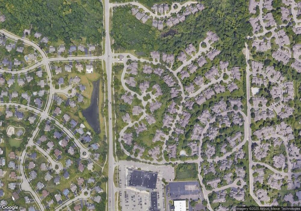
Map
Nearby Homes
- 7288 Simsbury Dr Unit 24
- 7277 Simsbury Dr
- 7663 Danbury Cir
- 7006 Bridge Way
- 7273 Creeks Bend Ct Unit 88
- 7159 Creeks Crossing Unit 47
- 7208 Creeks Bend Dr Unit 77
- Lot 110 W 14 Mile Rd
- 7118 Pebble Park Dr
- 7406 Pebble Point
- 7411 Pebble Point Unit 20
- 7187 Pebble Park Dr
- 7103 Pebble Park Dr
- 7114 Pebble Park Dr
- 7494 Pebble Ln Unit 118
- 6906 Pebblecreek Woods Dr
- 6904 Pebble Park Cir
- 23617 Trailview Dr Unit 29
- 23601 Trailview Dr Unit 37
- 31009 Heritage Hills Dr
- 7288 Simsbury Dr Unit Bldg-Unit
- 7287 Danbury Dr
- 7311 Simsbury Dr
- 7315 Simsbury Dr Unit 30
- 7264 Simsbury Dr
- 7276 Simsbury Dr
- 7300 Simsbury Dr
- 7378 Simsbury Dr
- 7382 Simsbury Dr
- 7339 Simsbury Dr
- 7343 Simsbury Dr
- 7324 Simsbury Dr Unit 12
- 7358 Simsbury Dr
- 7363 Simsbury Dr
- 7367 Simsbury Dr
- 7391 Simsbury Dr Unit 2
- 7264 Simsbury Dr Unit 9, 27
- 7311 Simsbury Dr Unit 31
- 7264 Simsbury Dr Unit 27
- 7393 Danbury Dr Unit 39