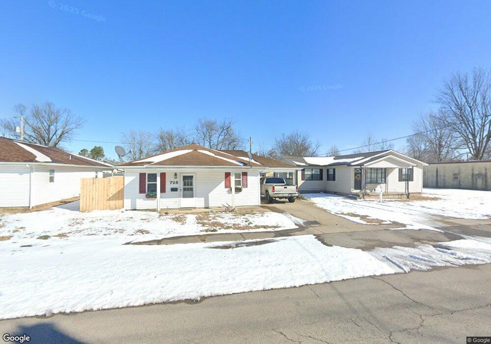
728 N Locust St Dexter, MO 63841
Estimated Value: $109,000 - $122,000
--
Bed
--
Bath
988
Sq Ft
$117/Sq Ft
Est. Value
About This Home
This home is located at 728 N Locust St, Dexter, MO 63841 and is currently estimated at $116,050, approximately $117 per square foot. 728 N Locust St is a home located in Stoddard County with nearby schools including Southwest Elementary School, Central Elementary School, and T.S. Hill Middle School.
Ownership History
Date
Name
Owned For
Owner Type
Purchase Details
Closed on
Dec 30, 2019
Sold by
Petty-Finch Hayli R
Bought by
Holt Cordell T
Current Estimated Value
Home Financials for this Owner
Home Financials are based on the most recent Mortgage that was taken out on this home.
Original Mortgage
$75,010
Outstanding Balance
$66,402
Interest Rate
3.7%
Mortgage Type
Construction
Estimated Equity
$49,648
Purchase Details
Closed on
Jul 12, 2018
Sold by
Mccurter Gary L and Mccurter Deborah
Bought by
Petty Hayli
Create a Home Valuation Report for This Property
The Home Valuation Report is an in-depth analysis detailing your home's value as well as a comparison with similar homes in the area
Home Values in the Area
Average Home Value in this Area
Purchase History
| Date | Buyer | Sale Price | Title Company |
|---|---|---|---|
| Holt Cordell T | $93,762 | National Title & Escrow Inc | |
| Petty Hayli | -- | National Title & Escrow Inc |
Source: Public Records
Mortgage History
| Date | Status | Borrower | Loan Amount |
|---|---|---|---|
| Open | Holt Cordell T | $75,010 |
Source: Public Records
Tax History Compared to Growth
Tax History
| Year | Tax Paid | Tax Assessment Tax Assessment Total Assessment is a certain percentage of the fair market value that is determined by local assessors to be the total taxable value of land and additions on the property. | Land | Improvement |
|---|---|---|---|---|
| 2025 | $676 | $15,884 | $0 | $0 |
| 2024 | $676 | $14,611 | $0 | $0 |
| 2023 | $675 | $14,611 | $0 | $0 |
| 2022 | $626 | $13,566 | $0 | $0 |
| 2021 | $626 | $13,566 | $0 | $0 |
| 2020 | $578 | $12,198 | $0 | $0 |
| 2019 | $577 | $12,445 | $0 | $0 |
| 2018 | $562 | $12,198 | $0 | $0 |
| 2016 | $447 | $10,013 | $0 | $0 |
| 2015 | -- | $10,013 | $0 | $0 |
| 2014 | -- | $9,842 | $0 | $0 |
| 2013 | -- | $0 | $0 | $0 |
Source: Public Records
Map
Nearby Homes
- 731 N Locust St
- 9 W Truitt St
- 807 N Poplar St
- 902 N Poplar St
- 6 W Taylor St
- 910 Carney St
- 0 N Hickory St Unit MIS25080979
- 804 N Catalpa St
- 125 W Saint Francis St
- 501 N Catalpa St
- 130 Hunt St
- 1002 Cottage Ln
- 435 W Elk St
- 18328 Lake Circle Dr
- 339 W Castor St
- 0 E Kenton Rd Unit MAR25009938
- 1207 W Kenton Rd
- 121 S Poplar St
- 18049 Thomas Dr
- 324 Vine St
- 104 E Stanley St
- 724 N Locust St
- 108 E Stanley St
- 118 E Stanley St
- 103 E Stanley St
- 107 E Stanley St
- 725 N Locust St
- 115 E Stanley St
- 712 N Locust St
- 723 N Elm St
- 119 E Stanley St
- 801 N Locust St
- 719 N Elm St
- 729 N Elm St
- 731 N Elm St
- 710 N Locust St
- 125 E Stanley St
- 715 N Elm St
- 803 N Locust St
- 103 E Truitt St