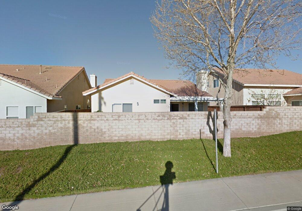
728 Weather Way Banning, CA 92220
Estimated Value: $350,000 - $384,660
2
Beds
2
Baths
1,475
Sq Ft
$247/Sq Ft
Est. Value
About This Home
This home is located at 728 Weather Way, Banning, CA 92220 and is currently estimated at $364,165, approximately $246 per square foot. 728 Weather Way is a home located in Riverside County with nearby schools including Banning High School, Young Scholar Education Center, and Calvary Christian School.
Ownership History
Date
Name
Owned For
Owner Type
Purchase Details
Closed on
Mar 7, 2006
Sold by
Rohr Elmer J and Rohr Wardean
Bought by
Ellison Clifford and Ellison Linda J
Current Estimated Value
Home Financials for this Owner
Home Financials are based on the most recent Mortgage that was taken out on this home.
Original Mortgage
$222,320
Outstanding Balance
$126,239
Interest Rate
6.25%
Mortgage Type
Purchase Money Mortgage
Estimated Equity
$237,926
Purchase Details
Closed on
Sep 1, 2004
Sold by
Rohr E Jeff and Rohr Wardean
Bought by
Rohr Elmer J and Rohr Wardean
Purchase Details
Closed on
Jan 13, 2004
Sold by
Banning 144 Llc
Bought by
Rohr E Jeff and Rohr Wardean
Home Financials for this Owner
Home Financials are based on the most recent Mortgage that was taken out on this home.
Original Mortgage
$100,000
Interest Rate
5.79%
Mortgage Type
Purchase Money Mortgage
Create a Home Valuation Report for This Property
The Home Valuation Report is an in-depth analysis detailing your home's value as well as a comparison with similar homes in the area
Home Values in the Area
Average Home Value in this Area
Purchase History
| Date | Buyer | Sale Price | Title Company |
|---|---|---|---|
| Ellison Clifford | $278,000 | First American Title Co | |
| Rohr Elmer J | -- | -- | |
| Rohr E Jeff | $193,000 | First American Title Co |
Source: Public Records
Mortgage History
| Date | Status | Borrower | Loan Amount |
|---|---|---|---|
| Open | Ellison Clifford | $222,320 | |
| Previous Owner | Rohr E Jeff | $100,000 |
Source: Public Records
Tax History
| Year | Tax Paid | Tax Assessment Tax Assessment Total Assessment is a certain percentage of the fair market value that is determined by local assessors to be the total taxable value of land and additions on the property. | Land | Improvement |
|---|---|---|---|---|
| 2025 | $4,894 | $371,000 | $81,980 | $289,020 |
| 2023 | $4,894 | $348,828 | $74,749 | $274,079 |
| 2022 | $4,492 | $317,117 | $67,954 | $249,163 |
| 2021 | $3,817 | $268,743 | $57,588 | $211,155 |
| 2020 | $3,420 | $239,949 | $51,418 | $188,531 |
| 2019 | $3,334 | $232,960 | $49,920 | $183,040 |
| 2018 | $3,250 | $224,000 | $48,000 | $176,000 |
| 2017 | $3,075 | $211,000 | $46,000 | $165,000 |
| 2016 | $2,399 | $169,000 | $36,000 | $133,000 |
| 2015 | $2,344 | $165,000 | $36,000 | $129,000 |
| 2014 | $2,291 | $159,000 | $34,000 | $125,000 |
Source: Public Records
Map
Nearby Homes
- 2694 Clear Ct
- 738 Amber Sky St
- 753 Amber Sky St
- 492 Autumn Way
- 2880 Rainbow Ln
- 2906 Summer Set Cir
- 733 Daybreak Way
- 612 S 22nd St
- 259 S 22nd St
- 43145 Bob Cat Rd
- 670 Morongo Ave
- 42850 Hill Top Dr
- 1645 W Hays St
- 2200 W Wilson St Unit 54
- 2200 W Wilson St Unit 154
- 2200 W Wilson St Unit 69
- 2200 W Wilson St
- 2200 W Wilson St Unit 122
- 3800 W Jacinto View Rd
- 721 N Sunset Avenue Sp Unit 68
- 716 Weather Way
- 746 Weather Way
- 760 Weather Way
- 698 Weather Way
- 2648 Clear Ct
- 2649 Clear Ct
- 686 Weather Way
- 2664 Clear Ct
- 2645 Rainbow Ln
- 2665 Clear Ct
- 2648 Hazy Way
- 668 Weather Way
- 670 S Woodland Ave
- 2661 Rainbow Ln
- 2680 Clear Ct
- 2681 Clear Ct
- 798 Weather Way
- 682 S Woodland Ave
- 2675 Rainbow Ln
- 654 Weather Way
Your Personal Tour Guide
Ask me questions while you tour the home.