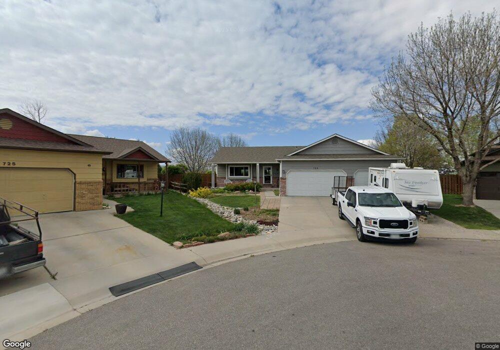
729 E 34th St Loveland, CO 80538
Estimated Value: $576,000 - $620,000
7
Beds
3
Baths
1,866
Sq Ft
$321/Sq Ft
Est. Value
About This Home
This home is located at 729 E 34th St, Loveland, CO 80538 and is currently estimated at $598,994, approximately $321 per square foot. 729 E 34th St is a home located in Larimer County with nearby schools including Peakview Academy at Conrad Ball, Mary Blair Elementary School, and Mountain View High School.
Ownership History
Date
Name
Owned For
Owner Type
Purchase Details
Closed on
Apr 8, 2024
Sold by
Mayhew Richard D and Mayhew Debra M
Bought by
Richard And Debra Mayhew Living Trust
Current Estimated Value
Purchase Details
Closed on
Apr 1, 1996
Sold by
Peele Jack Willis
Bought by
Mayhew Richard D
Purchase Details
Closed on
May 1, 1992
Sold by
Sherwood Homes Inc
Bought by
Peele Jack Willis
Purchase Details
Closed on
Feb 1, 1992
Sold by
Burns D E Construction Co
Bought by
Sherwood Homes Inc
Create a Home Valuation Report for This Property
The Home Valuation Report is an in-depth analysis detailing your home's value as well as a comparison with similar homes in the area
Home Values in the Area
Average Home Value in this Area
Purchase History
| Date | Buyer | Sale Price | Title Company |
|---|---|---|---|
| Richard And Debra Mayhew Living Trust | -- | None Listed On Document | |
| Mayhew Richard D | $162,000 | -- | |
| Peele Jack Willis | $102,000 | -- | |
| Sherwood Homes Inc | $18,000 | -- |
Source: Public Records
Tax History Compared to Growth
Tax History
| Year | Tax Paid | Tax Assessment Tax Assessment Total Assessment is a certain percentage of the fair market value that is determined by local assessors to be the total taxable value of land and additions on the property. | Land | Improvement |
|---|---|---|---|---|
| 2025 | $3,062 | $42,056 | $3,350 | $38,706 |
| 2024 | $2,953 | $42,056 | $3,350 | $38,706 |
| 2022 | $2,544 | $31,970 | $3,475 | $28,495 |
| 2021 | $2,614 | $32,890 | $3,575 | $29,315 |
| 2020 | $2,586 | $32,518 | $3,575 | $28,943 |
| 2019 | $2,542 | $32,518 | $3,575 | $28,943 |
| 2018 | $2,301 | $27,958 | $3,600 | $24,358 |
| 2017 | $1,981 | $27,958 | $3,600 | $24,358 |
| 2016 | $1,701 | $23,195 | $3,980 | $19,215 |
| 2015 | $1,687 | $23,200 | $3,980 | $19,220 |
| 2014 | $1,501 | $19,960 | $3,980 | $15,980 |
Source: Public Records
Map
Nearby Homes
- 3402 White Ash Ct
- 502 Honey Locust Dr
- 3244 Hawthorn Dr
- 1009 Blue Spruce Place
- 6429 Union Creek Dr
- 6465 Union Creek Dr
- 1208 Silver Fir Dr
- 2609 Cedar Dr
- 2562 Tupelo Dr
- 4342 Sunridge Dr
- 2526 Silver Fir Ave
- 324 Sagewood Dr
- 171 E 42nd St Unit C
- 367 Limber Place
- 2437 Mountain View Dr
- 119 E 42nd St Unit 3B
- 4386 Suncreek Dr
- 3638 Butternut Dr Unit 7A
- 3321 Butternut Dr
- 4105 N Garfield Ave Unit 100