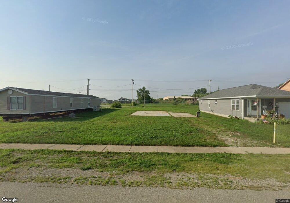
729 E Pearl St Whiteland, IN 46184
Estimated Value: $159,000 - $198,000
3
Beds
1
Bath
975
Sq Ft
$188/Sq Ft
Est. Value
About This Home
This home is located at 729 E Pearl St, Whiteland, IN 46184 and is currently estimated at $183,444, approximately $188 per square foot. 729 E Pearl St is a home located in Johnson County with nearby schools including Whiteland Elementary School, Clark-Pleasant Middle School, and Whiteland Community High School.
Ownership History
Date
Name
Owned For
Owner Type
Purchase Details
Closed on
Jun 28, 2018
Sold by
Manis Ronald D and Manis Janice S
Bought by
England Ronnie L and Evans Amanda E
Current Estimated Value
Home Financials for this Owner
Home Financials are based on the most recent Mortgage that was taken out on this home.
Original Mortgage
$90,333
Outstanding Balance
$77,613
Interest Rate
4.12%
Mortgage Type
FHA
Estimated Equity
$105,831
Purchase Details
Closed on
Sep 5, 2008
Sold by
Jones Andrew L
Bought by
Manis Ronald D and Manis Janice S
Create a Home Valuation Report for This Property
The Home Valuation Report is an in-depth analysis detailing your home's value as well as a comparison with similar homes in the area
Home Values in the Area
Average Home Value in this Area
Purchase History
| Date | Buyer | Sale Price | Title Company |
|---|---|---|---|
| England Ronnie L | -- | Alliance Title | |
| Manis Ronald D | -- | None Available |
Source: Public Records
Mortgage History
| Date | Status | Borrower | Loan Amount |
|---|---|---|---|
| Open | England Ronnie L | $90,333 |
Source: Public Records
Tax History Compared to Growth
Tax History
| Year | Tax Paid | Tax Assessment Tax Assessment Total Assessment is a certain percentage of the fair market value that is determined by local assessors to be the total taxable value of land and additions on the property. | Land | Improvement |
|---|---|---|---|---|
| 2025 | $520 | $24,900 | $24,900 | $0 |
| 2024 | $520 | $126,800 | $29,300 | $97,500 |
| 2023 | $810 | $126,800 | $29,300 | $97,500 |
| 2022 | $692 | $113,100 | $23,700 | $89,400 |
| 2021 | $413 | $94,400 | $21,100 | $73,300 |
| 2020 | $391 | $92,200 | $13,000 | $79,200 |
| 2019 | $68 | $68,200 | $13,000 | $55,200 |
| 2018 | $1,015 | $57,000 | $10,000 | $47,000 |
| 2017 | $1,139 | $56,300 | $10,000 | $46,300 |
| 2016 | $1,130 | $56,300 | $10,000 | $46,300 |
| 2014 | $300 | $51,700 | $11,400 | $40,300 |
| 2013 | $300 | $51,300 | $11,400 | $39,900 |
Source: Public Records
Map
Nearby Homes
- 650 E Pearl St
- Henley Plan at Saddlebrook Farms
- Fairfax Plan at Saddlebrook Farms - North
- 841 E Pearl St
- Henley Plan at Saddlebrook Farms - North
- Freeport Plan at Saddlebrook Farms - North
- Johnstown Plan at Saddlebrook Farms - North
- Dayton Plan at Saddlebrook Farms - North
- Chatham Plan at Saddlebrook Farms - North
- Dayton Plan at Saddlebrook Farms
- Harmony Plan at Saddlebrook Farms - North
- Johnstown Plan at Saddlebrook Farms
- Stamford Plan at Saddlebrook Farms - North
- 111 Ames Dr
- 630 Walnut St
- 131 Ames Dr
- 101 Ames Dr
- 141 Ames Dr
- 935 Saddlebrook Farms Blvd
- 170 Ames Dr