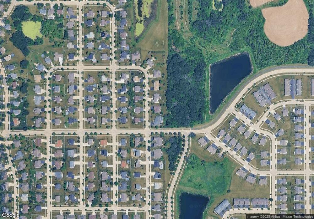
729 Karen Dr Hampshire, IL 60140
Estimated Value: $457,882 - $544,000
3
Beds
3
Baths
2,322
Sq Ft
$209/Sq Ft
Est. Value
About This Home
This home is located at 729 Karen Dr, Hampshire, IL 60140 and is currently estimated at $485,721, approximately $209 per square foot. 729 Karen Dr is a home located in Kane County with nearby schools including Hampshire Elementary School, Hampshire Middle School, and Hampshire High School.
Ownership History
Date
Name
Owned For
Owner Type
Purchase Details
Closed on
Apr 12, 2012
Sold by
Thurow Robert L and Thurow Coleen K
Bought by
Thurow Robert L and Trust 101
Current Estimated Value
Purchase Details
Closed on
Jan 31, 2012
Sold by
Swalwell William R and Swalwell Kerry
Bought by
Thurow Robert and Thurow Colleen
Purchase Details
Closed on
Dec 21, 2007
Sold by
Citizens First National Bank Of Princeto
Bought by
Swalwell William R and Swalwell Kerry
Home Financials for this Owner
Home Financials are based on the most recent Mortgage that was taken out on this home.
Original Mortgage
$324,000
Interest Rate
6.13%
Mortgage Type
Purchase Money Mortgage
Purchase Details
Closed on
Aug 30, 2005
Sold by
Lennar Chicago Inc
Bought by
Heritage Builders Inc
Create a Home Valuation Report for This Property
The Home Valuation Report is an in-depth analysis detailing your home's value as well as a comparison with similar homes in the area
Home Values in the Area
Average Home Value in this Area
Purchase History
| Date | Buyer | Sale Price | Title Company |
|---|---|---|---|
| Thurow Robert L | -- | None Available | |
| Thurow Robert | $235,000 | First United Title Svcs Inc | |
| Swalwell William R | $405,000 | First American Title | |
| Heritage Builders Inc | $519,000 | -- |
Source: Public Records
Mortgage History
| Date | Status | Borrower | Loan Amount |
|---|---|---|---|
| Previous Owner | Swalwell William R | $324,000 |
Source: Public Records
Tax History Compared to Growth
Tax History
| Year | Tax Paid | Tax Assessment Tax Assessment Total Assessment is a certain percentage of the fair market value that is determined by local assessors to be the total taxable value of land and additions on the property. | Land | Improvement |
|---|---|---|---|---|
| 2024 | $4,667 | $130,427 | $35,001 | $95,426 |
| 2023 | $7,975 | $117,322 | $31,484 | $85,838 |
| 2022 | $5,518 | $107,823 | $28,935 | $78,888 |
| 2021 | $5,573 | $99,626 | $27,295 | $72,331 |
| 2020 | $5,666 | $96,456 | $26,549 | $69,907 |
| 2019 | $5,803 | $93,302 | $25,681 | $67,621 |
| 2018 | $6,029 | $87,209 | $24,264 | $62,945 |
| 2017 | $6,116 | $83,758 | $23,304 | $60,454 |
| 2016 | $6,425 | $85,392 | $28,564 | $56,828 |
| 2015 | -- | $79,368 | $26,549 | $52,819 |
| 2014 | -- | $76,751 | $25,674 | $51,077 |
| 2013 | -- | $81,659 | $27,316 | $54,343 |
Source: Public Records
Map
Nearby Homes
- 720 James Dr
- 808 James Dr
- 730 Bruce Dr
- 431 Patricia Ln
- 1655 Windsor Rd
- 1053 Marcello Dr
- 1284 Olive Ln
- Lot 124 Meadowdale Cir W
- 318 Old Mill Ln
- 651 Olive Ln
- 263 E Jackson Ave
- 190 Grove Ave
- 895 S State St
- 862 Briar Glen Ct
- 804 Briar Glen Ct
- 820 Briar Glen Ct
- 704 S State St
- 125 Mill Ave
- 120 Jack Dylan Dr
- 1411 Oakfield Ln
