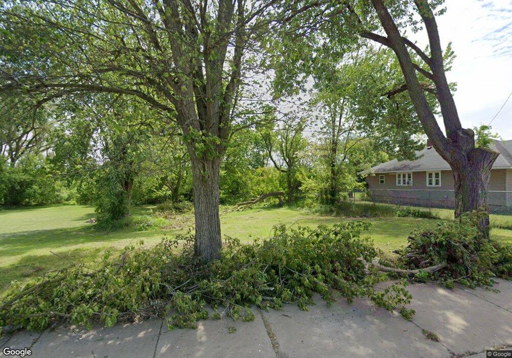
729 Michigan Ave W Battle Creek, MI 49037
North Central NeighborhoodEstimated Value: $117,000 - $151,000
3
Beds
2
Baths
1,655
Sq Ft
$80/Sq Ft
Est. Value
About This Home
This home is located at 729 Michigan Ave W, Battle Creek, MI 49037 and is currently estimated at $133,000, approximately $80 per square foot. 729 Michigan Ave W is a home located in Calhoun County with nearby schools including Ann J. Kellogg School, Northwestern Middle School, and Battle Creek Central High School.
Ownership History
Date
Name
Owned For
Owner Type
Purchase Details
Closed on
Aug 24, 2017
Sold by
Wensauer Brian
Bought by
Becke James P
Current Estimated Value
Purchase Details
Closed on
Feb 15, 2017
Sold by
Calhoun County Land Bank Authority
Bought by
Grevioussmith Tonya and Grevioussmith Grevious
Purchase Details
Closed on
Aug 22, 2003
Bought by
Knight Gary and Knight Deanna
Purchase Details
Closed on
Oct 31, 2002
Sold by
Harris Donald
Bought by
Alora Ltd
Create a Home Valuation Report for This Property
The Home Valuation Report is an in-depth analysis detailing your home's value as well as a comparison with similar homes in the area
Home Values in the Area
Average Home Value in this Area
Purchase History
| Date | Buyer | Sale Price | Title Company |
|---|---|---|---|
| Becke James P | $5,200 | None Available | |
| Grevioussmith Tonya | $23,255 | -- | |
| Knight Gary | -- | -- | |
| Alora Ltd | $6,500 | -- |
Source: Public Records
Tax History Compared to Growth
Tax History
| Year | Tax Paid | Tax Assessment Tax Assessment Total Assessment is a certain percentage of the fair market value that is determined by local assessors to be the total taxable value of land and additions on the property. | Land | Improvement |
|---|---|---|---|---|
| 2025 | -- | $3,800 | $0 | $0 |
| 2024 | $51 | $2,834 | $0 | $0 |
| 2023 | $65 | $1,889 | $0 | $0 |
| 2022 | $46 | $1,323 | $0 | $0 |
| 2021 | $62 | $1,134 | $0 | $0 |
| 2020 | $1,096 | $945 | $0 | $0 |
| 2019 | $1,086 | $2,331 | $0 | $0 |
| 2018 | $1,086 | $16,941 | $756 | $16,185 |
| 2017 | $1,203 | $23,100 | $0 | $0 |
| 2016 | $1,201 | $23,100 | $0 | $0 |
| 2015 | $1,195 | $21,665 | $4,913 | $16,752 |
| 2014 | $1,195 | $21,665 | $4,913 | $16,752 |
Source: Public Records
Map
Nearby Homes
- 89 Somerset Ave
- 629 Van Buren St W
- 636 Hamblin Ave W
- 69 Jordan St
- 60 Graves Ave
- 562 Van Buren St W
- 253 Greenwood Ave
- 0 W Vanburen 027 St Unit 22040287
- 0 W Vanburen 025 St Unit 22040286
- 0 W Michigan 011 Ave Unit 22040285
- 0 W Michigan 010 Ave Unit 22040284
- 0 W Ave Unit 22040282
- 0 W Michigan 005 Ave Unit 22040281
- 9 Thorne St
- 0 W Vanburen 032 St Unit 22040288
- 167 Hubbard St
- 35 Hubbard St
- 224 Hubbard St
- 16 Wood St S
- V/L W Michigan 055 Ave
- 725 W Michigan Ave
- 733 Michigan Ave W
- 739 Michigan Ave W
- 727 Michigan Ave W
- 707 W Michigan Ave
- 705 W Michigan Ave
- 761 Michigan Ave W
- 710 Michigan Ave W
- 706 Michigan Ave W
- 753 Michigan Ave W
- 725 Van Buren St W
- 0 W Michigan 008 Ave Unit 64022040289
- 0 W Michigan 008 Ave Unit 22040289
- 731 Van Buren St W
- 757 Michigan Ave W
- 702 Michigan Ave W
- 713 Van Buren St W
- 737 Van Buren St W
- 743 Van Buren St W
- 701 Van Buren St W