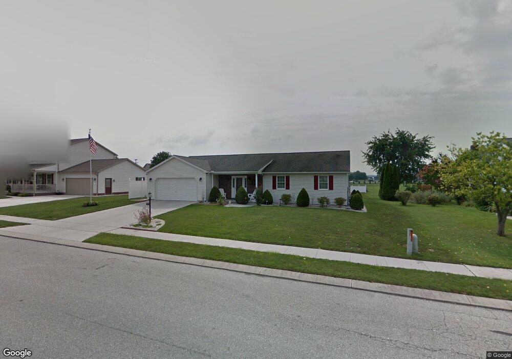
729 Poplar St Unit 125 Hanover, PA 17331
Estimated Value: $332,000 - $377,000
3
Beds
2
Baths
1,632
Sq Ft
$213/Sq Ft
Est. Value
About This Home
This home is located at 729 Poplar St Unit 125, Hanover, PA 17331 and is currently estimated at $347,887, approximately $213 per square foot. 729 Poplar St Unit 125 is a home located in Adams County with nearby schools including New Oxford Senior High School, St. Teresa of Calcutta Catholic School - McSherrystown Campus, and St. Teresa of Calcutta Catholic School - Conewago Campus.
Ownership History
Date
Name
Owned For
Owner Type
Purchase Details
Closed on
Aug 6, 1998
Bought by
Ayres Robert and Ayres Ruby D
Current Estimated Value
Create a Home Valuation Report for This Property
The Home Valuation Report is an in-depth analysis detailing your home's value as well as a comparison with similar homes in the area
Home Values in the Area
Average Home Value in this Area
Purchase History
| Date | Buyer | Sale Price | Title Company |
|---|---|---|---|
| Ayres Robert | $139,900 | -- |
Source: Public Records
Tax History Compared to Growth
Tax History
| Year | Tax Paid | Tax Assessment Tax Assessment Total Assessment is a certain percentage of the fair market value that is determined by local assessors to be the total taxable value of land and additions on the property. | Land | Improvement |
|---|---|---|---|---|
| 2025 | $5,388 | $225,000 | $47,100 | $177,900 |
| 2024 | $4,977 | $225,000 | $47,100 | $177,900 |
| 2023 | $4,793 | $225,000 | $47,100 | $177,900 |
| 2022 | $4,646 | $225,000 | $47,100 | $177,900 |
| 2021 | $4,527 | $225,000 | $47,100 | $177,900 |
| 2020 | $4,534 | $225,000 | $47,100 | $177,900 |
| 2019 | $4,330 | $225,000 | $47,100 | $177,900 |
| 2018 | $4,239 | $225,000 | $47,100 | $177,900 |
| 2017 | $4,065 | $225,000 | $47,100 | $177,900 |
| 2016 | -- | $225,000 | $47,100 | $177,900 |
| 2015 | -- | $225,000 | $47,100 | $177,900 |
| 2014 | -- | $225,000 | $47,100 | $177,900 |
Source: Public Records
Map
Nearby Homes
- 617 N Blettner Ave Unit 120
- 10 Bear Cir Unit 29
- 303 Puma Dr Unit 22
- 535 South St
- 417 Main St
- 213 S Madison St
- 337 2 Main
- 718 Linden Ave
- 335 North St
- 618 North St
- 129 Main St
- 303 Ridge Ave
- 1012 W Elm Ave
- 254 Princess St
- 85 South St
- 74 South St
- 253 Vincent Dr Unit 87
- 46 Flint Dr
- 221 Princess St
- 54 Flint Dr
- 737 Poplar St Unit 126
- 719 Poplar St Unit 124
- 625 N Blettner Ave Unit 121
- 3 Lynx Dr Unit 127
- 7 Lynx Dr Unit 128
- 631 N Blettner Ave Unit 122
- 637 N Blettner Ave Unit 123
- 736 Poplar St Unit 220
- 718 Poplar St Unit 215
- 11 Ocelot Dr Unit 221
- 750 Poplar St Unit 233
- 655 N Blettner Ave Unit 216
- 12 Ocelot Dr Unit 214
- 4 Lynx Dr Unit 234
- 11 Lynx Dr Unit 129
- 628 N Blettner Ave Unit 39
- 634 N Blettner Ave Unit 40
- 760 Poplar St Unit 232
- 622 N Blettner Ave Unit 38
- 640 N Blettner Ave