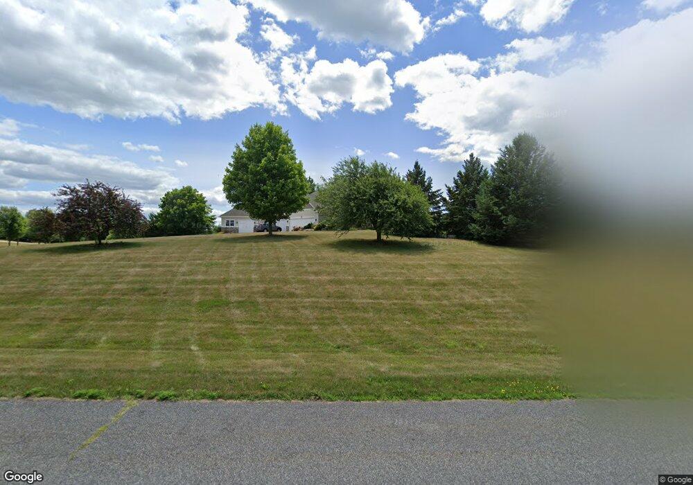
729 Theis Dr Shakopee, MN 55379
Estimated Value: $726,000 - $909,000
3
Beds
4
Baths
2,747
Sq Ft
$295/Sq Ft
Est. Value
About This Home
This home is located at 729 Theis Dr, Shakopee, MN 55379 and is currently estimated at $811,475, approximately $295 per square foot. 729 Theis Dr is a home located in Scott County with nearby schools including Sweeney Elementary School, East Middle School, and Shakopee Senior High School.
Ownership History
Date
Name
Owned For
Owner Type
Purchase Details
Closed on
May 18, 1998
Sold by
Hohl Marvin J and Hohl Heidi J
Bought by
Mcdonald Construction Inc
Current Estimated Value
Purchase Details
Closed on
Apr 29, 1998
Sold by
Theis Lakeview Estates Inc
Bought by
Hohl Marvin J and Hohl Heidi J
Purchase Details
Closed on
Nov 21, 1996
Sold by
Theis Lakeview Estates Inc
Bought by
Hohl Marvin J and Hohl Heidi J
Create a Home Valuation Report for This Property
The Home Valuation Report is an in-depth analysis detailing your home's value as well as a comparison with similar homes in the area
Home Values in the Area
Average Home Value in this Area
Purchase History
| Date | Buyer | Sale Price | Title Company |
|---|---|---|---|
| Mcdonald Construction Inc | $55,400 | -- | |
| Hohl Marvin J | $47,900 | -- | |
| Hohl Marvin J | $47,900 | -- |
Source: Public Records
Mortgage History
| Date | Status | Borrower | Loan Amount |
|---|---|---|---|
| Closed | Hohl Marvin J | -- |
Source: Public Records
Tax History
| Year | Tax Paid | Tax Assessment Tax Assessment Total Assessment is a certain percentage of the fair market value that is determined by local assessors to be the total taxable value of land and additions on the property. | Land | Improvement |
|---|---|---|---|---|
| 2025 | $5,836 | $813,900 | $264,800 | $549,100 |
| 2024 | $6,006 | $699,200 | $232,700 | $466,500 |
| 2023 | $5,818 | $702,100 | $232,700 | $469,400 |
| 2022 | $5,504 | $674,900 | $214,300 | $460,600 |
| 2021 | $5,014 | $554,600 | $150,000 | $404,600 |
| 2020 | $5,294 | $561,800 | $158,400 | $403,400 |
| 2019 | $5,466 | $515,500 | $155,300 | $360,200 |
| 2018 | $5,532 | $0 | $0 | $0 |
| 2016 | $5,872 | $0 | $0 | $0 |
Source: Public Records
Map
Nearby Homes
- 447 Theis Dr
- 630 Tyrol Ln
- XXX 160th St
- 746 Peninsula Point Rd
- 981 Peninsula Point Rd
- 13950 Marystown Rd
- 13781 Pribyl Pond Ln
- 13720 Marystown Rd
- 2XX Stonebrooke Curve
- 3XX Stonebrooke Curve
- 1655 Shasta Dr
- 1657 Shasta Dr
- 1661 Shasta Dr
- 1613 Shasta Dr
- 1679 Shasta Dr
- 1671 Shasta Dr
- 1830 Marsh View Terrace
- 1634 Denali Dr
- 1874 Marsh View Terrace
- 1896 Marsh View Terrace
Your Personal Tour Guide
Ask me questions while you tour the home.