7295 Cornfield Ln Rhoadesville, VA 22542
Estimated Value: $405,000 - $505,000
3
Beds
2
Baths
1,568
Sq Ft
$285/Sq Ft
Est. Value
About This Home
This home is located at 7295 Cornfield Ln, Rhoadesville, VA 22542 and is currently estimated at $447,487, approximately $285 per square foot. 7295 Cornfield Ln is a home located in Orange County with nearby schools including Unionville Elementary School, Lightfoot Elementary School, and Locust Grove Middle School.
Ownership History
Date
Name
Owned For
Owner Type
Purchase Details
Closed on
Jan 24, 2023
Sold by
Coleman Steven
Bought by
Snyder Randolph and Snyder Nichole
Current Estimated Value
Home Financials for this Owner
Home Financials are based on the most recent Mortgage that was taken out on this home.
Original Mortgage
$392,656
Outstanding Balance
$379,423
Interest Rate
6.31%
Mortgage Type
FHA
Estimated Equity
$68,064
Purchase Details
Closed on
Mar 11, 2022
Sold by
Graham Charles Edward
Bought by
Coleman Steven
Create a Home Valuation Report for This Property
The Home Valuation Report is an in-depth analysis detailing your home's value as well as a comparison with similar homes in the area
Purchase History
| Date | Buyer | Sale Price | Title Company |
|---|---|---|---|
| Snyder Randolph | $399,900 | -- | |
| Coleman Steven | $52,000 | -- |
Source: Public Records
Mortgage History
| Date | Status | Borrower | Loan Amount |
|---|---|---|---|
| Open | Snyder Randolph | $392,656 |
Source: Public Records
Tax History
| Year | Tax Paid | Tax Assessment Tax Assessment Total Assessment is a certain percentage of the fair market value that is determined by local assessors to be the total taxable value of land and additions on the property. | Land | Improvement |
|---|---|---|---|---|
| 2025 | $2,039 | $271,900 | $55,700 | $216,200 |
| 2024 | $2,039 | $271,900 | $55,700 | $216,200 |
| 2023 | $2,039 | $271,900 | $55,700 | $216,200 |
| 2022 | $343 | $45,700 | $45,700 | $0 |
| 2021 | $329 | $45,700 | $45,700 | $0 |
| 2020 | $329 | $45,700 | $45,700 | $0 |
| 2019 | $367 | $45,700 | $45,700 | $0 |
| 2018 | $367 | $45,700 | $45,700 | $0 |
| 2017 | $367 | $45,700 | $45,700 | $0 |
| 2016 | $367 | $45,700 | $45,700 | $0 |
| 2015 | -- | $57,000 | $57,000 | $0 |
| 2014 | -- | $57,000 | $57,000 | $0 |
Source: Public Records
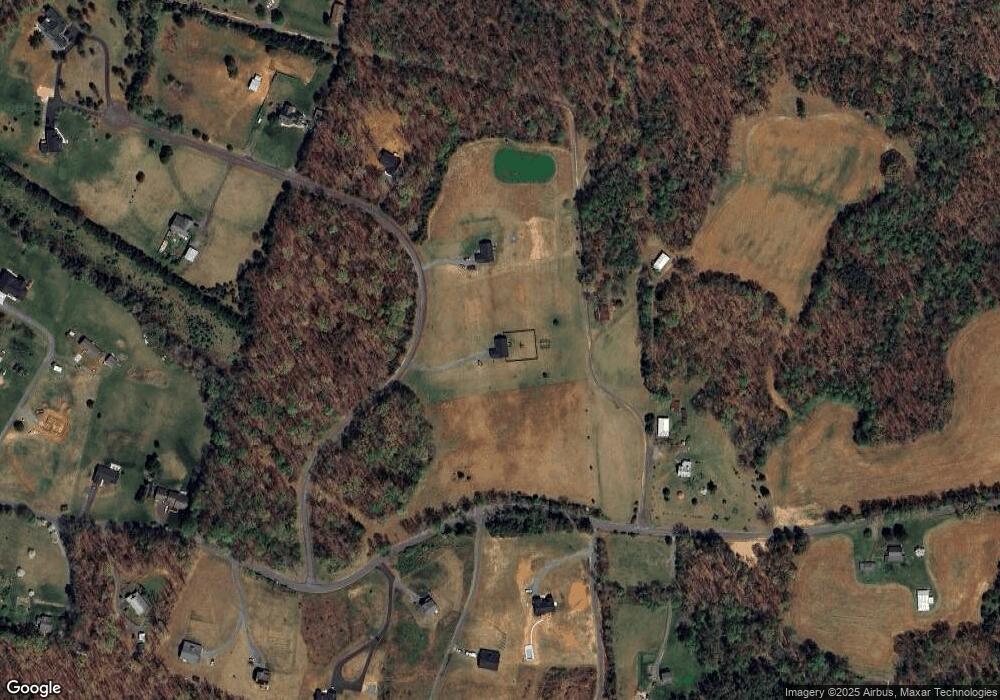
Map
Nearby Homes
- 29288 Old Office Rd
- 7719 Vermont Rd
- 28276 Walnut Ridge Way
- 29629 Rows Mill Rd
- 9107 Grasty Gold Mine Rd
- 28520 Constitution Hwy
- 31380 Paynes Farm Dr
- 0 Indiantown Rd Unit VAOR2012522
- LOT 4 Zoar Rd
- 4496 Rolling Hills Dr
- 32236 Deep Meadow Ln
- 4267 Trail of Faith Ct
- 29082 Raccoon Ford Rd
- 32459 Jacob Ln
- 27472 Strawberry Hill Rd
- 8032 Meadowland Dr
- 28264 Mine Run Rd
- 28542 Raccoon Ford Rd
- 31934 Indiantown Rd
- 26038 Old Office Rd
- 7295 Cornfield Ln
- 7231 Cornfield Ln
- 0 Cornfield Ln Unit 1420210
- 7165 Cornfield Ln
- 0 Cornfield Ln Unit 1007706026
- 0 Cornfield Ln Unit OR8405610
- 0 Cornfield Ln Unit VAOR2006006
- 7194 Cornfield Ln
- 7155 Cornfield Ln
- 7022 Canterberry Ln
- 29307 Old Office Rd
- 29412 Old Office Rd
- 29471 Old Office Rd
- 7009 Canterberry Ln
- 6335 Quann Farm Dr
- 29293 Old Office Rd
- 29378 Old Office Rd
- 7154 Cornfield Ln
- 29376 Old Office Rd
- 29332 Old Office Rd
Your Personal Tour Guide
Ask me questions while you tour the home.