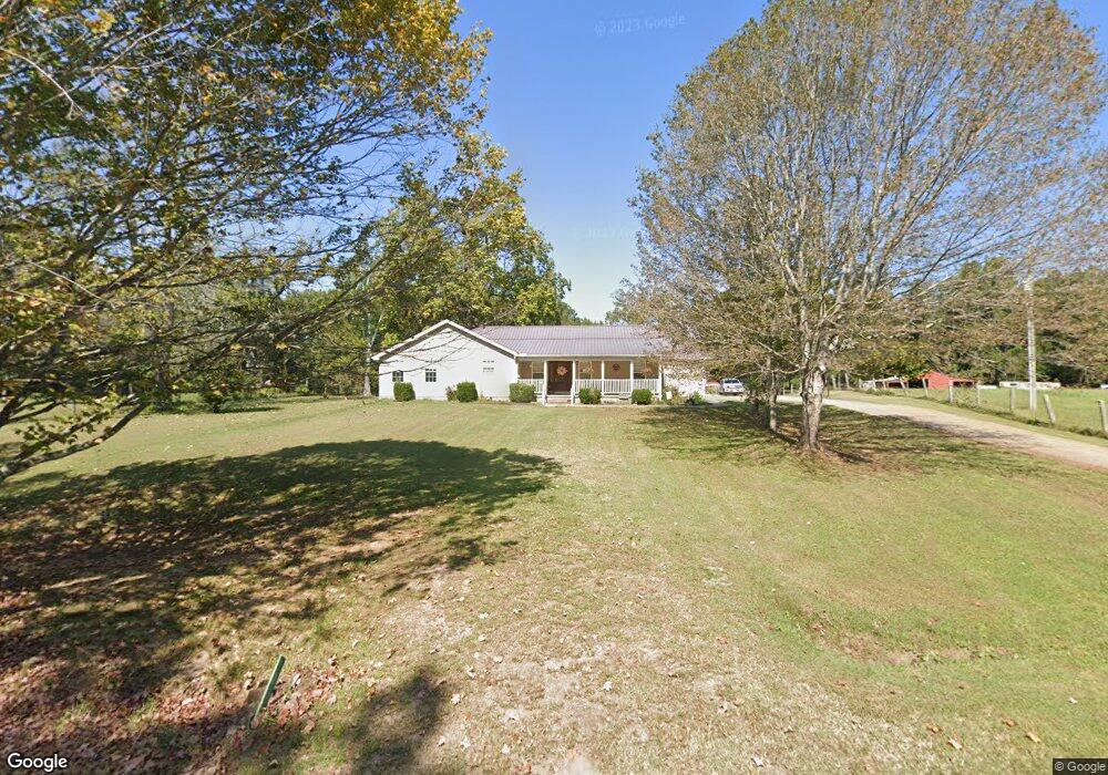
7295 Highway 424 Cedar Grove, TN 38321
Estimated Value: $172,000 - $261,000
--
Bed
2
Baths
1,990
Sq Ft
$117/Sq Ft
Est. Value
About This Home
This home is located at 7295 Highway 424, Cedar Grove, TN 38321 and is currently estimated at $232,397, approximately $116 per square foot. 7295 Highway 424 is a home located in Carroll County with nearby schools including Clarksburg School.
Ownership History
Date
Name
Owned For
Owner Type
Purchase Details
Closed on
Mar 20, 2000
Sold by
Hamm Joey L
Bought by
Harris Paula D
Current Estimated Value
Purchase Details
Closed on
Feb 28, 1996
Bought by
Hamm Joey L
Purchase Details
Closed on
Feb 28, 1995
Bought by
Hamm Joey L
Purchase Details
Closed on
Nov 19, 1993
Bought by
Azbill Mark Andrew and Azbill Fina C
Purchase Details
Closed on
Aug 25, 1989
Bought by
Tucker Kenneth P and Tucker Kimberly
Purchase Details
Closed on
Apr 13, 1981
Bought by
Scott James R and Scott Bonita W
Create a Home Valuation Report for This Property
The Home Valuation Report is an in-depth analysis detailing your home's value as well as a comparison with similar homes in the area
Home Values in the Area
Average Home Value in this Area
Purchase History
| Date | Buyer | Sale Price | Title Company |
|---|---|---|---|
| Harris Paula D | $65,000 | -- | |
| Hamm Joey L | $46,000 | -- | |
| Hamm Joey L | $46,000 | -- | |
| Azbill Mark Andrew | $34,400 | -- | |
| Tucker Kenneth P | $21,000 | -- | |
| Scott James R | -- | -- |
Source: Public Records
Tax History Compared to Growth
Tax History
| Year | Tax Paid | Tax Assessment Tax Assessment Total Assessment is a certain percentage of the fair market value that is determined by local assessors to be the total taxable value of land and additions on the property. | Land | Improvement |
|---|---|---|---|---|
| 2025 | $1,097 | $65,525 | $0 | $0 |
| 2024 | $1,097 | $39,650 | $8,450 | $31,200 |
| 2023 | $1,097 | $39,650 | $8,450 | $31,200 |
| 2022 | $1,097 | $39,650 | $8,450 | $31,200 |
| 2021 | $560 | $39,650 | $8,450 | $31,200 |
| 2020 | $787 | $28,425 | $8,450 | $19,975 |
| 2019 | $955 | $31,050 | $10,050 | $21,000 |
| 2018 | $955 | $31,050 | $10,050 | $21,000 |
| 2017 | $955 | $31,050 | $10,050 | $21,000 |
| 2016 | $1,428 | $31,050 | $10,050 | $21,000 |
| 2015 | $985 | $31,050 | $10,050 | $21,000 |
| 2014 | $890 | $31,050 | $10,050 | $21,000 |
| 2013 | $890 | $26,966 | $0 | $0 |
Source: Public Records
Map
Nearby Homes
- 000 Hart Cemetery Rd
- 935 Pearson Rd
- 0 Pearson Rd
- 2438 Leo Woods Rd
- 5300 Mount Gilead Rd
- 1023 Strike King Dr
- 75 Crum Rd
- 997 Strike King Dr
- 191 Strike King Dr
- 0 Excalibur Trail (Lot 255 256)
- 983 Strike King Dr
- 188 Strike King Dr
- 63 Arrowhead Point
- 400 Strike King Dr
- 1471 Excalibur Trail
- 102 Excalibur Trail