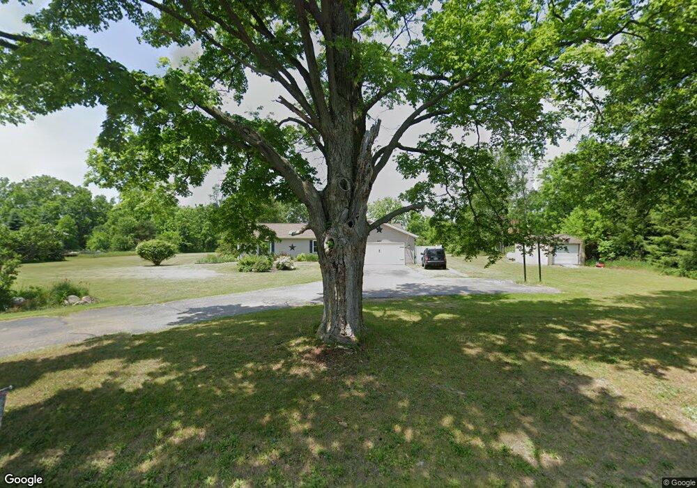
7297 N 2nd St Kalamazoo, MI 49009
Estimated Value: $244,000 - $430,000
4
Beds
2
Baths
3,109
Sq Ft
$102/Sq Ft
Est. Value
About This Home
This home is located at 7297 N 2nd St, Kalamazoo, MI 49009 and is currently estimated at $316,333, approximately $101 per square foot. 7297 N 2nd St is a home located in Kalamazoo County with nearby schools including Otsego High School.
Ownership History
Date
Name
Owned For
Owner Type
Purchase Details
Closed on
Jul 28, 2017
Sold by
Morehouse Mary
Bought by
Morehouse Mary and Morehouse Michael Ryan
Current Estimated Value
Purchase Details
Closed on
May 9, 2017
Sold by
Haffner Robert B
Bought by
Morehouse Mary
Purchase Details
Closed on
Apr 17, 2017
Sold by
Haffner Robert B
Bought by
Morehouse Mary
Purchase Details
Closed on
Mar 27, 2009
Sold by
Perrin Daniel L and Perrin Sally L
Bought by
Haffner Robert B and Haffner Mary R
Purchase Details
Closed on
Aug 27, 2008
Sold by
Wells Fargo Bank Na
Bought by
Perrin Daniel L and Perrin Sally L
Home Financials for this Owner
Home Financials are based on the most recent Mortgage that was taken out on this home.
Original Mortgage
$62,400
Interest Rate
5.73%
Mortgage Type
Purchase Money Mortgage
Purchase Details
Closed on
Apr 12, 2007
Sold by
Mckinney William
Bought by
Wells Fargo Bank Na
Create a Home Valuation Report for This Property
The Home Valuation Report is an in-depth analysis detailing your home's value as well as a comparison with similar homes in the area
Home Values in the Area
Average Home Value in this Area
Purchase History
| Date | Buyer | Sale Price | Title Company |
|---|---|---|---|
| Morehouse Mary | -- | Attorney | |
| Morehouse Mary | -- | Attorney | |
| Morehouse Mary | -- | Attorney | |
| Morehouse Mary | -- | Attorney | |
| Haffner Robert B | $138,000 | Devon Title | |
| Perrin Daniel L | $78,000 | Attorneys Title | |
| Wells Fargo Bank Na | $149,400 | None Available |
Source: Public Records
Mortgage History
| Date | Status | Borrower | Loan Amount |
|---|---|---|---|
| Previous Owner | Perrin Daniel L | $62,400 |
Source: Public Records
Tax History Compared to Growth
Tax History
| Year | Tax Paid | Tax Assessment Tax Assessment Total Assessment is a certain percentage of the fair market value that is determined by local assessors to be the total taxable value of land and additions on the property. | Land | Improvement |
|---|---|---|---|---|
| 2025 | $2,564 | $125,200 | $0 | $0 |
| 2024 | -- | $109,900 | $0 | $0 |
| 2023 | -- | $104,700 | $0 | $0 |
| 2022 | $0 | $92,100 | $0 | $0 |
| 2021 | $776 | $84,500 | $0 | $0 |
| 2020 | $1,436 | $84,400 | $0 | $0 |
| 2019 | $0 | $82,100 | $0 | $0 |
| 2018 | $0 | $0 | $0 | $0 |
Source: Public Records
Map
Nearby Homes
- 6286 N 2nd St
- 6029 Farhills Way
- 6115 Far Hills Way
- 7841 W D Ave
- 09222 23 1 2 St
- 0 Cr-388
- 25595 County Road 388
- 3841 N 3rd St
- 24486 6th Ave
- 10796 W H Ave
- 10463 W H Ave
- 10700 1st St
- Parcel A D Ave W
- VL W Ab Ave
- 7131 W B Ave
- 26651 6th Ave
- 3992 Marietta Cir Unit 33
- 28200 12th Ave
- 2222 101st Ave
- 1 Millberg Ridge