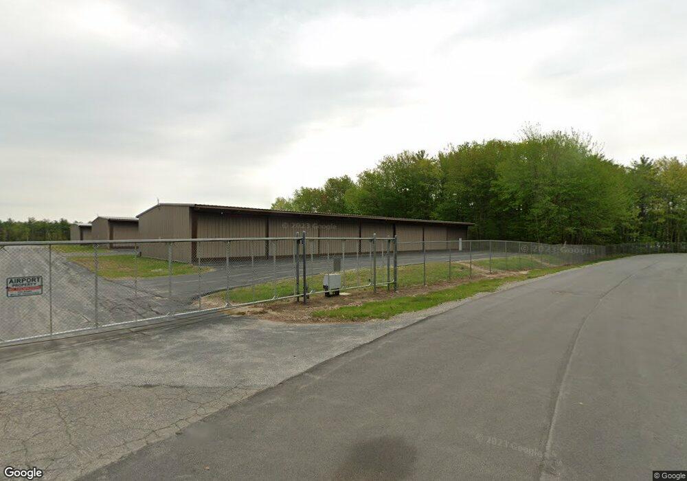
73 Aviation Dr Gilford, NH 03249
--
Bed
--
Bath
--
Sq Ft
2.01
Acres
About This Home
This home is located at 73 Aviation Dr, Gilford, NH 03249. 73 Aviation Dr is a home located in Belknap County with nearby schools including Gilford Elementary School, Gilford Middle School, and Gilford High School.
Ownership History
Date
Name
Owned For
Owner Type
Purchase Details
Closed on
Mar 13, 2024
Sold by
Howe James and Howe Terri
Bought by
Howe Ft and Howe
Purchase Details
Closed on
Mar 30, 2004
Sold by
Ashbaugh Ft
Bought by
Shafique Ft
Purchase Details
Closed on
Oct 16, 2000
Sold by
Brown Frederick E
Bought by
Heinrich Robert
Purchase Details
Closed on
Mar 22, 1996
Sold by
Brown Frederick E
Bought by
Parkinson Terry and Parkinson Judson
Create a Home Valuation Report for This Property
The Home Valuation Report is an in-depth analysis detailing your home's value as well as a comparison with similar homes in the area
Home Values in the Area
Average Home Value in this Area
Purchase History
| Date | Buyer | Sale Price | Title Company |
|---|---|---|---|
| Howe Ft | -- | None Available | |
| Howe Ft | -- | None Available | |
| Shafique Ft | $32,000 | -- | |
| Shafique Ft | $32,000 | -- | |
| Heinrich Robert | $25,000 | -- | |
| Heinrich Robert | $25,000 | -- | |
| Parkinson Terry | $14,000 | -- | |
| Parkinson Terry | $14,000 | -- |
Source: Public Records
Tax History Compared to Growth
Tax History
| Year | Tax Paid | Tax Assessment Tax Assessment Total Assessment is a certain percentage of the fair market value that is determined by local assessors to be the total taxable value of land and additions on the property. | Land | Improvement |
|---|---|---|---|---|
| 2024 | -- | $749,100 | $197,700 | $551,400 |
| 2023 | -- | $749,100 | $197,700 | $551,400 |
| 2022 | $0 | $576,000 | $123,700 | $452,300 |
| 2021 | $0 | $589,600 | $144,700 | $444,900 |
| 2020 | $0 | $568,400 | $144,700 | $423,700 |
| 2019 | $0 | $568,400 | $144,700 | $423,700 |
| 2018 | $0 | $525,300 | $133,700 | $391,600 |
| 2017 | $0 | $525,300 | $133,700 | $391,600 |
| 2016 | $0 | $493,900 | $133,700 | $360,200 |
| 2015 | -- | $493,900 | $133,700 | $360,200 |
| 2011 | -- | $461,200 | $133,700 | $327,500 |
Source: Public Records
Map
Nearby Homes
- 9 Lily Pond Rd
- 44 Gilford Dr E
- 8 Mulberry Hill Rd Unit B
- 71 Annis Dr Unit 1
- 84 Old Lake Shore Rd
- 118 Weirs Rd Unit G05
- 320 Old Lake Shore Rd Unit 3
- 115 Weirs Rd Unit 109B
- Homesite 4 Winni Farm Rd
- Homesite 3 Winni Farm Rd
- Homesite 2 Winni Farm Rd
- 271 Weirs Rd
- 60 Weirs Rd Unit D2
- 73 Weirs Slip I-22
- 73 Weirs
- 73 Weirs Rd
- 9 Sargents Place Unit 35
- 9 Sargents Place Unit 84
- 9 Sargents Place Unit 23
- 9 Sargents Place Unit 72
- 73 U3 Aviation
- 73 Aviation Dr Unit 16
- 73 Aviation Way Unit 7
- 21 Aviation Way
- 21 Aviation Way
- 15 Aviation Way
- 42 Airport Rd
- 50 Airport Rd
- 28 Airport Rd
- 20 Airport Rd
- 60 Airport Rd
- 0 Waterford Place
- 70 Airport Rd
- 70 Airport Rd Unit 5A
- 70 Airport Rd Unit 6C
- 22 Waterford Place
- 3 Waterford Place
- 15 Airport Rd
- 126 Lily Pond Rd
- 160 Lily Pond Rd