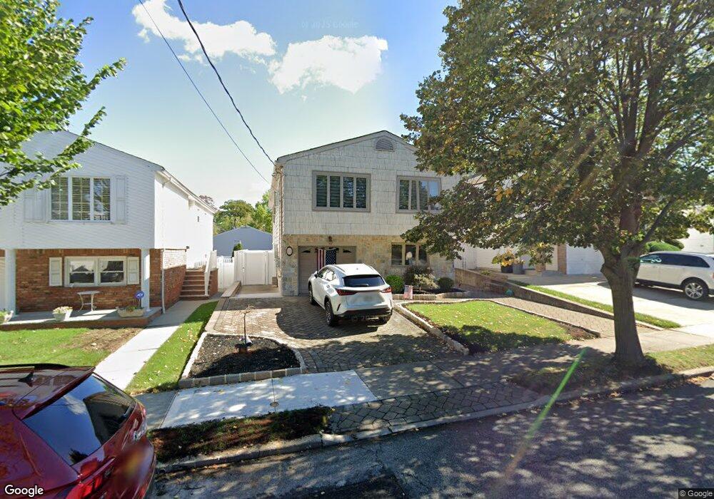
73 Brookfield Ave Staten Island, NY 10308
Great Kills NeighborhoodEstimated Value: $691,284 - $807,000
--
Bed
4
Baths
1,764
Sq Ft
$436/Sq Ft
Est. Value
About This Home
This home is located at 73 Brookfield Ave, Staten Island, NY 10308 and is currently estimated at $768,571, approximately $435 per square foot. 73 Brookfield Ave is a home located in Richmond County with nearby schools including P.S. 32 The Gifford School, Myra S. Barnes Intermediate School 24, and Susan E Wagner High School.
Ownership History
Date
Name
Owned For
Owner Type
Purchase Details
Closed on
Nov 26, 1996
Sold by
Gianforte Salvatore and Gianforte Edda
Bought by
Russo Anthony and Russo Lynne J
Current Estimated Value
Home Financials for this Owner
Home Financials are based on the most recent Mortgage that was taken out on this home.
Original Mortgage
$120,000
Interest Rate
8%
Mortgage Type
Seller Take Back
Create a Home Valuation Report for This Property
The Home Valuation Report is an in-depth analysis detailing your home's value as well as a comparison with similar homes in the area
Home Values in the Area
Average Home Value in this Area
Purchase History
| Date | Buyer | Sale Price | Title Company |
|---|---|---|---|
| Russo Anthony | $240,000 | First American Title Ins Co |
Source: Public Records
Mortgage History
| Date | Status | Borrower | Loan Amount |
|---|---|---|---|
| Closed | Russo Anthony | $120,000 |
Source: Public Records
Tax History Compared to Growth
Tax History
| Year | Tax Paid | Tax Assessment Tax Assessment Total Assessment is a certain percentage of the fair market value that is determined by local assessors to be the total taxable value of land and additions on the property. | Land | Improvement |
|---|---|---|---|---|
| 2025 | $7,250 | $44,220 | $9,492 | $34,728 |
| 2024 | $7,262 | $41,400 | $9,565 | $31,835 |
| 2023 | $7,331 | $37,498 | $8,943 | $28,555 |
| 2022 | $6,773 | $42,060 | $10,560 | $31,500 |
| 2021 | $7,086 | $41,700 | $10,560 | $31,140 |
| 2020 | $6,715 | $41,880 | $10,560 | $31,320 |
| 2019 | $6,244 | $37,320 | $10,560 | $26,760 |
| 2018 | $6,072 | $31,248 | $9,945 | $21,303 |
| 2017 | $6,022 | $31,013 | $9,330 | $21,683 |
| 2016 | $5,539 | $29,258 | $9,884 | $19,374 |
| 2015 | $3,478 | $27,602 | $8,035 | $19,567 |
| 2014 | $3,478 | $26,040 | $8,820 | $17,220 |
Source: Public Records
Map
Nearby Homes
- 275 Katan Ave
- 115 Abingdon Ave
- 151 Abingdon Ave
- 256 Katan Ave Unit B
- 24 E Augusta Ave
- 221B Katan Ave Unit 33B
- 221 B Katan Ave
- 28 N Rhett Ave
- 63 Genesee Ave
- 68 Margaret St
- 223 Abingdon Ave
- 17 Wilson Ave
- 21 Wilson Ave
- 108 Giffords Ln
- 43 Fern Ave
- 67 Wilson Ave
- 15 Woodland Ave
- 271 Doane Ave
- 248 Abingdon Ave
- 65 E Scranton Ave
- 77 Brookfield Ave
- 69 Brookfield Ave
- 81 Brookfield Ave
- 65 Brookfield Ave
- 158 Colon Ave
- 154 Colon Ave
- 162 Colon Ave
- 85 Brookfield Ave
- 61 Brookfield Ave
- 150 Colon Ave
- 166 Colon Ave
- 68 Brookfield Ave
- 76 Brookfield Ave
- 168 Colon Ave
- 62 Brookfield Ave
- 82 Brookfield Ave
- 289 Katan Ave
- 285 Katan Ave Unit 2
- 285 Katan Ave
- 279 Katan Ave