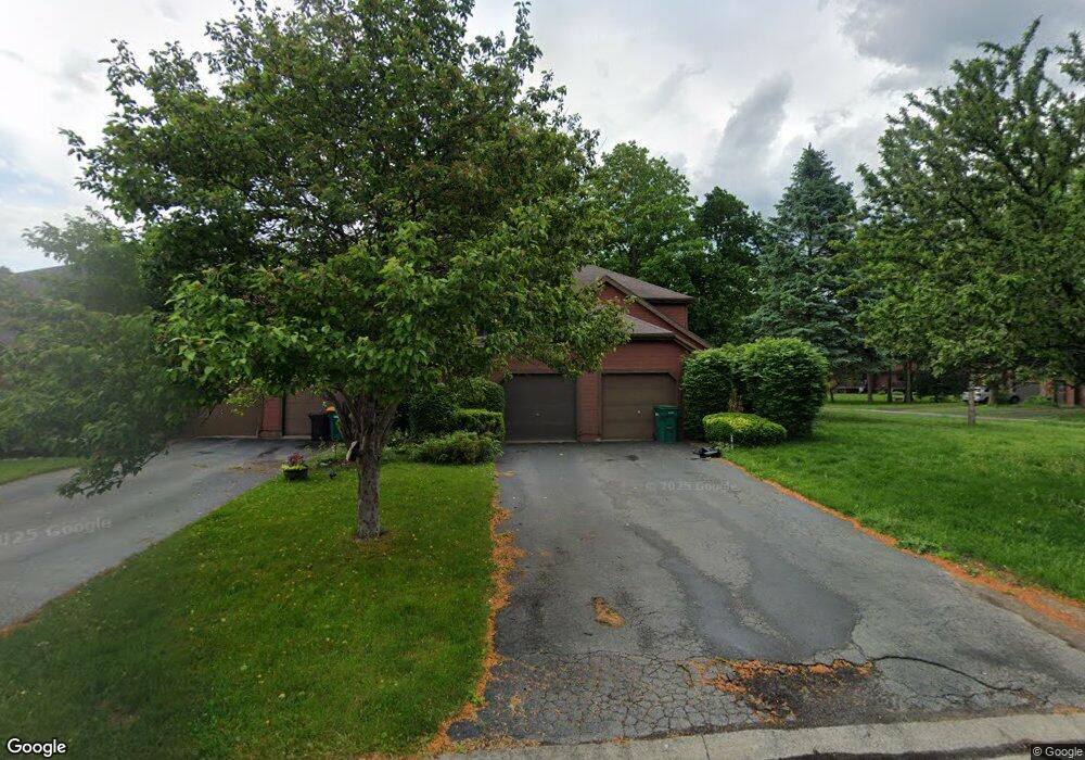
73 Broxbourne Dr Fairport, NY 14450
Estimated Value: $192,000 - $241,000
2
Beds
2
Baths
1,027
Sq Ft
$213/Sq Ft
Est. Value
About This Home
This home is located at 73 Broxbourne Dr, Fairport, NY 14450 and is currently estimated at $219,032, approximately $213 per square foot. 73 Broxbourne Dr is a home located in Monroe County with nearby schools including Dudley School, Northside School, and Johanna Perrin Middle School.
Ownership History
Date
Name
Owned For
Owner Type
Purchase Details
Closed on
Apr 28, 2011
Sold by
Tipper Shannon M
Bought by
Mitchell Jenna K
Current Estimated Value
Home Financials for this Owner
Home Financials are based on the most recent Mortgage that was taken out on this home.
Original Mortgage
$102,338
Outstanding Balance
$70,693
Interest Rate
4.75%
Mortgage Type
FHA
Estimated Equity
$148,339
Purchase Details
Closed on
Jul 15, 2003
Sold by
Videtti Fka Steck Cynthia S
Bought by
Tipper Shaonnon M
Purchase Details
Closed on
Jan 28, 2000
Sold by
Motkowski Michael J
Bought by
Steck Cynthia S
Purchase Details
Closed on
Oct 31, 1995
Sold by
Koehnke Andrew P
Bought by
Motkowski Michael J
Create a Home Valuation Report for This Property
The Home Valuation Report is an in-depth analysis detailing your home's value as well as a comparison with similar homes in the area
Home Values in the Area
Average Home Value in this Area
Purchase History
| Date | Buyer | Sale Price | Title Company |
|---|---|---|---|
| Mitchell Jenna K | $105,000 | None Available | |
| Tipper Shaonnon M | $87,500 | John A Polimeni | |
| Steck Cynthia S | $73,500 | Bryon W Gross | |
| Motkowski Michael J | $75,500 | -- |
Source: Public Records
Mortgage History
| Date | Status | Borrower | Loan Amount |
|---|---|---|---|
| Open | Mitchell Jenna K | $102,338 |
Source: Public Records
Tax History Compared to Growth
Tax History
| Year | Tax Paid | Tax Assessment Tax Assessment Total Assessment is a certain percentage of the fair market value that is determined by local assessors to be the total taxable value of land and additions on the property. | Land | Improvement |
|---|---|---|---|---|
| 2024 | $4,505 | $111,700 | $24,000 | $87,700 |
| 2023 | $4,380 | $111,700 | $24,000 | $87,700 |
| 2022 | $4,221 | $111,700 | $24,000 | $87,700 |
| 2021 | $4,207 | $111,700 | $24,000 | $87,700 |
| 2020 | $4,136 | $111,700 | $24,000 | $87,700 |
| 2019 | $3,827 | $111,700 | $20,800 | $90,900 |
| 2018 | $4,024 | $111,700 | $20,800 | $90,900 |
| 2017 | $2,463 | $103,400 | $20,800 | $82,600 |
| 2016 | $3,827 | $103,400 | $20,800 | $82,600 |
| 2015 | -- | $103,400 | $20,800 | $82,600 |
| 2014 | -- | $103,400 | $20,800 | $82,600 |
Source: Public Records
Map
Nearby Homes
- 4 Arbor Ct
- 43 Hollingham Rise
- 31 Belinda Crescent
- 2 Foxpointe Cir
- 1331 Whitney Rd E
- 76 - 78 Summit St
- 15 Whitney Farms Cir
- 70 High St
- 603 Watson Rd
- 187 S Main St
- 28 Winchester Dr
- 14 Peppermill Dr
- 6 Noahs Bluff
- 8 Noahs Bluff
- 4 Noahs Bluff
- 5 Noahs Bluff
- 2 Hamilton Rd
- 158 N Main St
- 43 Lyndon Rd
- 105 Packetts Glen
- 75 Broxbourne Dr
- 77 Broxbourne Dr
- 71 Broxbourne Dr
- 79 Broxbourne Dr
- 20 Garrison Dr
- 81 Broxbourne Dr
- 99 Broxbourne Dr
- 101 Broxbourne Dr
- 18 Garrison Dr
- 103 Broxbourne Dr
- 16 Garrison Dr
- 72 Broxbourne Dr
- 105 Broxbourne Dr
- 70 Broxbourne Dr
- 76 Broxbourne Dr
- 68 Broxbourne Dr
- 78 Broxbourne Dr
- 14 Garrison Dr
- 27 Garrison Dr
- 25 Garrison Dr