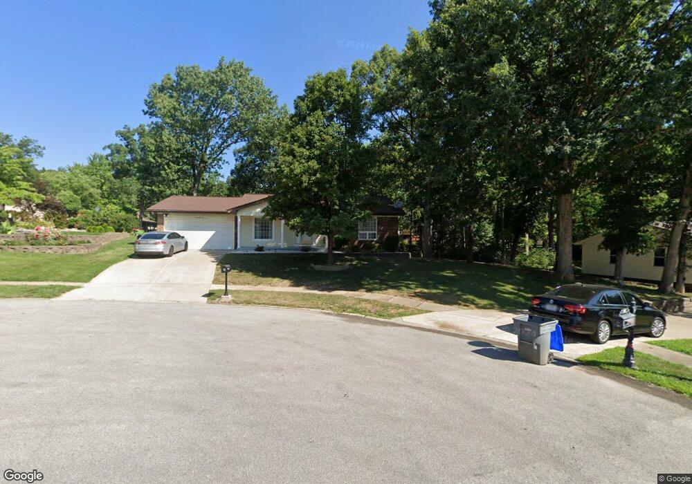
73 Dellbrook Ct O Fallon, MO 63366
Estimated Value: $307,639 - $336,000
3
Beds
3
Baths
1,480
Sq Ft
$220/Sq Ft
Est. Value
About This Home
This home is located at 73 Dellbrook Ct, O Fallon, MO 63366 and is currently estimated at $325,660, approximately $220 per square foot. 73 Dellbrook Ct is a home located in St. Charles County with nearby schools including Joseph L. Mudd Elementary School, Forest Park Elementary School, and Fort Zumwalt North Middle School.
Ownership History
Date
Name
Owned For
Owner Type
Purchase Details
Closed on
Mar 29, 2012
Sold by
Bates Bobby L and Bates Eunice M
Bought by
Catiller Kevin A and Catiller Robin D
Current Estimated Value
Home Financials for this Owner
Home Financials are based on the most recent Mortgage that was taken out on this home.
Original Mortgage
$150,733
Outstanding Balance
$103,324
Interest Rate
3.75%
Mortgage Type
FHA
Estimated Equity
$222,336
Create a Home Valuation Report for This Property
The Home Valuation Report is an in-depth analysis detailing your home's value as well as a comparison with similar homes in the area
Home Values in the Area
Average Home Value in this Area
Purchase History
| Date | Buyer | Sale Price | Title Company |
|---|---|---|---|
| Catiller Kevin A | $156,200 | Benchmark Title Llc |
Source: Public Records
Mortgage History
| Date | Status | Borrower | Loan Amount |
|---|---|---|---|
| Open | Catiller Kevin A | $150,733 |
Source: Public Records
Tax History
| Year | Tax Paid | Tax Assessment Tax Assessment Total Assessment is a certain percentage of the fair market value that is determined by local assessors to be the total taxable value of land and additions on the property. | Land | Improvement |
|---|---|---|---|---|
| 2025 | $3,151 | $50,386 | -- | -- |
| 2023 | $3,152 | $47,504 | $0 | $0 |
| 2022 | $2,725 | $38,157 | $0 | $0 |
| 2021 | $2,727 | $38,157 | $0 | $0 |
| 2020 | $2,784 | $37,795 | $0 | $0 |
| 2019 | $2,791 | $37,795 | $0 | $0 |
| 2018 | $2,498 | $32,273 | $0 | $0 |
| 2017 | $2,462 | $32,273 | $0 | $0 |
| 2016 | $2,129 | $27,786 | $0 | $0 |
| 2015 | $1,979 | $27,786 | $0 | $0 |
| 2014 | $1,928 | $26,620 | $0 | $0 |
Source: Public Records
Map
Nearby Homes
- 0 Montbrook Dr
- 7 Autumn Valley Ct
- 302 Birmingham Dr
- 24 Hawthorne Ct
- 151 N Wellington St
- 849 Elaine Dr
- 6 Emerson Ct
- 11 Southern Hills Ct
- 10 Southern Hills Ct
- 710 Longfellow Cir
- 319 Magnolia Valley Dr
- 1117 Turtle Creek Dr
- 127 Columbia Meadows Ln
- 136 Columbia Meadows Ln
- 5 Challenger Ct
- 4 Challenger Ct
- 1 Grand Columbia @ Columbia Meadows
- 1 Columbia @ Columbia Meadows
- 1 Grand Columbia II @ Columbia Meadows
- 105 Columbia Meadows Ln
- 71 Dellbrook Ct
- 77 Westbrook Dr
- 75 Westbrook Dr
- 79 Westbrook Dr
- 69 Dellbrook Ct
- 3 Southbrook Ct
- 1 Southbrook Ct
- 65 Dellbrook Ct
- 67 Dellbrook Ct
- 393 Westbrook Dr
- 62 Westbrook Dr
- 397 Westbrook Dr
- 70 Windbrook Ct
- 411 Westbrook Dr
- 5 Southbrook Ct
- 72 Westbrook Dr
- 389 Westbrook Dr
- 60 Westbrook Dr
- 63 Westbrook Dr
- 413 Westbrook Dr
Your Personal Tour Guide
Ask me questions while you tour the home.