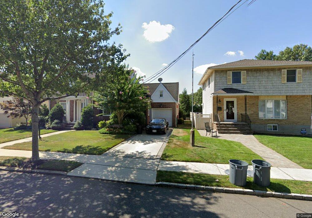
73 Drake St Malverne, NY 11565
Estimated Value: $796,000 - $840,266
3
Beds
2
Baths
1,636
Sq Ft
$500/Sq Ft
Est. Value
About This Home
This home is located at 73 Drake St, Malverne, NY 11565 and is currently estimated at $818,133, approximately $500 per square foot. 73 Drake St is a home located in Nassau County with nearby schools including Our Lady of Lourdes School, Grace Lutheran School, and Cheder at the Ohel.
Ownership History
Date
Name
Owned For
Owner Type
Purchase Details
Closed on
Oct 7, 2014
Sold by
Egan Joseph M and Egan Kathleen A
Bought by
Musorrafiti Kathryn and Libretti Thomas
Current Estimated Value
Home Financials for this Owner
Home Financials are based on the most recent Mortgage that was taken out on this home.
Original Mortgage
$368,000
Outstanding Balance
$282,125
Interest Rate
4.1%
Mortgage Type
New Conventional
Estimated Equity
$536,008
Purchase Details
Closed on
Apr 15, 2010
Sold by
Carey Catherine and Mundy Virginia
Bought by
Egan Joseph M and Egan Kathleen
Purchase Details
Closed on
Apr 1, 1997
Create a Home Valuation Report for This Property
The Home Valuation Report is an in-depth analysis detailing your home's value as well as a comparison with similar homes in the area
Home Values in the Area
Average Home Value in this Area
Purchase History
| Date | Buyer | Sale Price | Title Company |
|---|---|---|---|
| Musorrafiti Kathryn | $460,000 | None Available | |
| Egan Joseph M | $429,000 | -- | |
| -- | -- | -- |
Source: Public Records
Mortgage History
| Date | Status | Borrower | Loan Amount |
|---|---|---|---|
| Open | Musorrafiti Kathryn | $368,000 |
Source: Public Records
Tax History Compared to Growth
Tax History
| Year | Tax Paid | Tax Assessment Tax Assessment Total Assessment is a certain percentage of the fair market value that is determined by local assessors to be the total taxable value of land and additions on the property. | Land | Improvement |
|---|---|---|---|---|
| 2025 | $10,181 | $574 | $229 | $345 |
| 2024 | $1,253 | $574 | $229 | $345 |
| 2023 | $8,475 | $574 | $229 | $345 |
| 2022 | $8,475 | $564 | $229 | $335 |
| 2021 | $11,687 | $533 | $213 | $320 |
| 2020 | $7,924 | $708 | $525 | $183 |
| 2019 | $8,049 | $818 | $606 | $212 |
| 2018 | $8,848 | $818 | $0 | $0 |
| 2017 | $6,766 | $818 | $606 | $212 |
| 2016 | $7,949 | $818 | $506 | $312 |
| 2015 | $1,215 | $818 | $506 | $312 |
| 2014 | $1,215 | $818 | $506 | $312 |
| 2013 | $1,335 | $980 | $606 | $374 |
Source: Public Records
Map
Nearby Homes
- 405 Cornwell Ave
- 27 Coolidge St
- 27 Victor St
- 52 Legion Place
- 487 Emerson Place
- 216 Home St
- 35 Carlton St
- 313 Emerson Place
- 182 Ann St
- 172 Roberta St
- 281 Wheeler Ave Unit 7
- 35 Roosevelt Ave
- 12 Roosevelt Ave
- 57 Carol St
- 299 E Euclid St
- 10 Linden St
- 165 Wheeler Ave
- 200 E Euclid St
- 1075 Frances Dr
- 263 Foster Ave