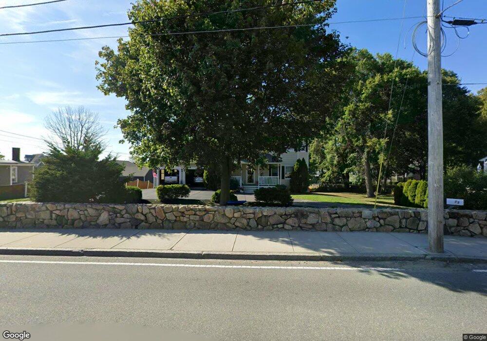
73 Eastern Point Rd Gloucester, MA 01930
East Gloucester NeighborhoodEstimated Value: $842,000 - $1,194,000
3
Beds
3
Baths
1,616
Sq Ft
$664/Sq Ft
Est. Value
About This Home
This home is located at 73 Eastern Point Rd, Gloucester, MA 01930 and is currently estimated at $1,072,676, approximately $663 per square foot. 73 Eastern Point Rd is a home located in Essex County with nearby schools including East Gloucester Elementary School, Ralph B O'maley Middle School, and Gloucester High School.
Ownership History
Date
Name
Owned For
Owner Type
Purchase Details
Closed on
Apr 11, 1997
Sold by
Mccarthy Christopher J and Mccarthy Sharon
Bought by
Amero Donald A and Amero Diane J
Current Estimated Value
Purchase Details
Closed on
Nov 24, 1993
Sold by
Kirchmayer R Michael and Thomas Critchley F
Bought by
Baxter Larry K and Baxter Carol S
Create a Home Valuation Report for This Property
The Home Valuation Report is an in-depth analysis detailing your home's value as well as a comparison with similar homes in the area
Home Values in the Area
Average Home Value in this Area
Purchase History
| Date | Buyer | Sale Price | Title Company |
|---|---|---|---|
| Amero Donald A | $85,000 | -- | |
| Baxter Larry K | $740,000 | -- |
Source: Public Records
Mortgage History
| Date | Status | Borrower | Loan Amount |
|---|---|---|---|
| Open | Amero Donald A | $112,000 | |
| Closed | Amero Donald A | $180,000 | |
| Closed | Amero Donald A | $25,000 | |
| Closed | Amero Donald A | $187,500 |
Source: Public Records
Tax History
| Year | Tax Paid | Tax Assessment Tax Assessment Total Assessment is a certain percentage of the fair market value that is determined by local assessors to be the total taxable value of land and additions on the property. | Land | Improvement |
|---|---|---|---|---|
| 2025 | $9,622 | $989,900 | $539,400 | $450,500 |
| 2024 | $9,379 | $963,900 | $513,400 | $450,500 |
| 2023 | $8,636 | $815,500 | $458,600 | $356,900 |
| 2022 | $8,346 | $711,500 | $398,900 | $312,600 |
| 2021 | $8,133 | $653,800 | $362,600 | $291,200 |
| 2020 | $6,896 | $559,300 | $271,200 | $288,100 |
| 2019 | $6,691 | $527,300 | $271,200 | $256,100 |
| 2018 | $6,524 | $504,600 | $271,200 | $233,400 |
| 2017 | $6,323 | $479,400 | $258,100 | $221,300 |
| 2016 | $6,096 | $447,900 | $244,900 | $203,000 |
| 2015 | $5,902 | $432,400 | $244,900 | $187,500 |
Source: Public Records
Map
Nearby Homes
- 15 Raven Ln Unit 15
- 1 Wonson St
- 73 Rocky Neck Ave Unit 2
- 60 Rocky Neck Ave Unit 202
- 10 Seaview Rd
- 11 Ocean View Dr
- 197 E Main St Unit 1
- 191 Main St Unit 3
- 191 Main St Unit 2A
- 100 Eastern Point Blvd
- 33 Middle St
- 35 Middle St Unit 4
- 139A Prospect St
- 15 Mount Vernon St
- 20 Beacon St
- 20 Beacon St Unit 2
- 20 Beacon St Unit 1
- 3 Mondello Square
- 113 Pleasant St
- 33 Maplewood Ave Unit 310
- 67 Eastern Point Rd
- 75 Eastern Point Rd
- 1 Island Rock Ln
- 1 Island Rock Ln
- 58 Eastern Point Rd
- 3 Island Rock Ln
- 64 Eastern Point Rd Unit 2
- 64 Eastern Point Rd Unit 1
- 1 Locust Ln
- 62 Eastern Point Rd Unit WINTER
- 59 Eastern Point Rd
- 56 Eastern Point Rd
- 3 Locust Ln
- 3B Locust Ln
- 66 Eastern Point Rd
- 62 Eastern Point Rd Unit 2
- 62 Eastern Point Rd
- 62 Eastern Point Rd
- 62 Eastern Point Rd Unit WINTER
- 62 Eastern Point Rd Unit 1
Your Personal Tour Guide
Ask me questions while you tour the home.