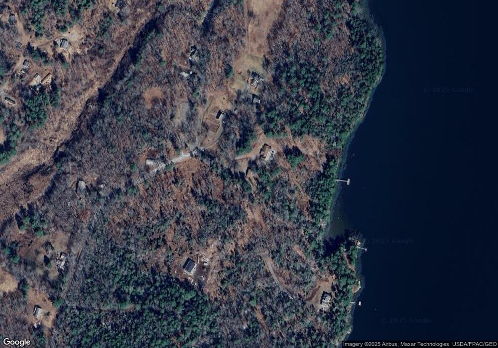
73 Haskell Rd Westport Island, ME 04578
Estimated Value: $836,000 - $940,000
4
Beds
3
Baths
2,776
Sq Ft
$324/Sq Ft
Est. Value
About This Home
This home is located at 73 Haskell Rd, Westport Island, ME 04578 and is currently estimated at $900,200, approximately $324 per square foot. 73 Haskell Rd is a home located in Lincoln County.
Ownership History
Date
Name
Owned For
Owner Type
Purchase Details
Closed on
Mar 31, 2021
Sold by
Jeffery D Anderson T D and Jeffery Anderson
Bought by
Frank Brian M and Frank Jessica M
Current Estimated Value
Home Financials for this Owner
Home Financials are based on the most recent Mortgage that was taken out on this home.
Original Mortgage
$525,000
Outstanding Balance
$471,952
Interest Rate
3%
Mortgage Type
New Conventional
Estimated Equity
$428,248
Purchase Details
Closed on
Jun 11, 2014
Sold by
Donahue Daniel J Est and Donahue
Bought by
Anderson Jeffrey D and Anderson Joan C
Home Financials for this Owner
Home Financials are based on the most recent Mortgage that was taken out on this home.
Original Mortgage
$397,500
Interest Rate
4%
Mortgage Type
New Conventional
Create a Home Valuation Report for This Property
The Home Valuation Report is an in-depth analysis detailing your home's value as well as a comparison with similar homes in the area
Home Values in the Area
Average Home Value in this Area
Purchase History
| Date | Buyer | Sale Price | Title Company |
|---|---|---|---|
| Frank Brian M | -- | None Available | |
| Frank Brian M | -- | None Available | |
| Frank Brian M | -- | None Available | |
| Anderson Jeffrey D | -- | -- | |
| Anderson Jeffrey D | -- | -- |
Source: Public Records
Mortgage History
| Date | Status | Borrower | Loan Amount |
|---|---|---|---|
| Open | Frank Brian M | $525,000 | |
| Closed | Frank Brian M | $525,000 | |
| Previous Owner | Anderson Jeffrey D | $397,500 |
Source: Public Records
Tax History Compared to Growth
Tax History
| Year | Tax Paid | Tax Assessment Tax Assessment Total Assessment is a certain percentage of the fair market value that is determined by local assessors to be the total taxable value of land and additions on the property. | Land | Improvement |
|---|---|---|---|---|
| 2024 | $3,228 | $436,254 | $65,900 | $370,354 |
| 2023 | $2,848 | $434,766 | $64,412 | $370,354 |
| 2022 | $2,958 | $356,366 | $52,797 | $303,569 |
| 2021 | $2,815 | $356,366 | $52,797 | $303,569 |
| 2020 | $2,887 | $356,366 | $52,797 | $303,569 |
| 2019 | $2,662 | $356,366 | $52,797 | $303,569 |
| 2018 | $3,882 | $588,196 | $276,811 | $311,385 |
| 2016 | $5,186 | $720,313 | $408,928 | $311,385 |
| 2014 | $6,509 | $866,723 | $0 | $0 |
| 2013 | $6,717 | $866,723 | $537,136 | $329,587 |
Source: Public Records
Map
Nearby Homes
- 17 Lester Rd
- 27 Doggett Rd
- 30 Taylor Rd
- 15 Lewis Dr
- 50 Bunchberry Ln
- 34 Bunchberry Ln
- 91 Lord Rd
- 2 Ready Point Rd
- 13 Porcupine Ln
- 285 Birch Point Rd Unit 11
- 18 High Head Rd
- 29 Mill Rd
- 664 Boothbay Rd
- 19 Riverside Ave
- 00 Maine 27
- 44 Stone Point Ln
- 52 Eddy Rd
- 114 Fort Rd
- 14 Walker Rd
- 67 Village Way Unit 505
